Shallow coastal waters have long posed a logistical and financial headache for hydrographic offices worldwide: too shallow and hazardous for deep-draft acoustic survey vessels, yet far too dynamic and critical for navigation, coastal resilience, and infrastructure to leave unmapped. Resolving that "white ribbon" data void requires practical, reproducible, and accessible technology.
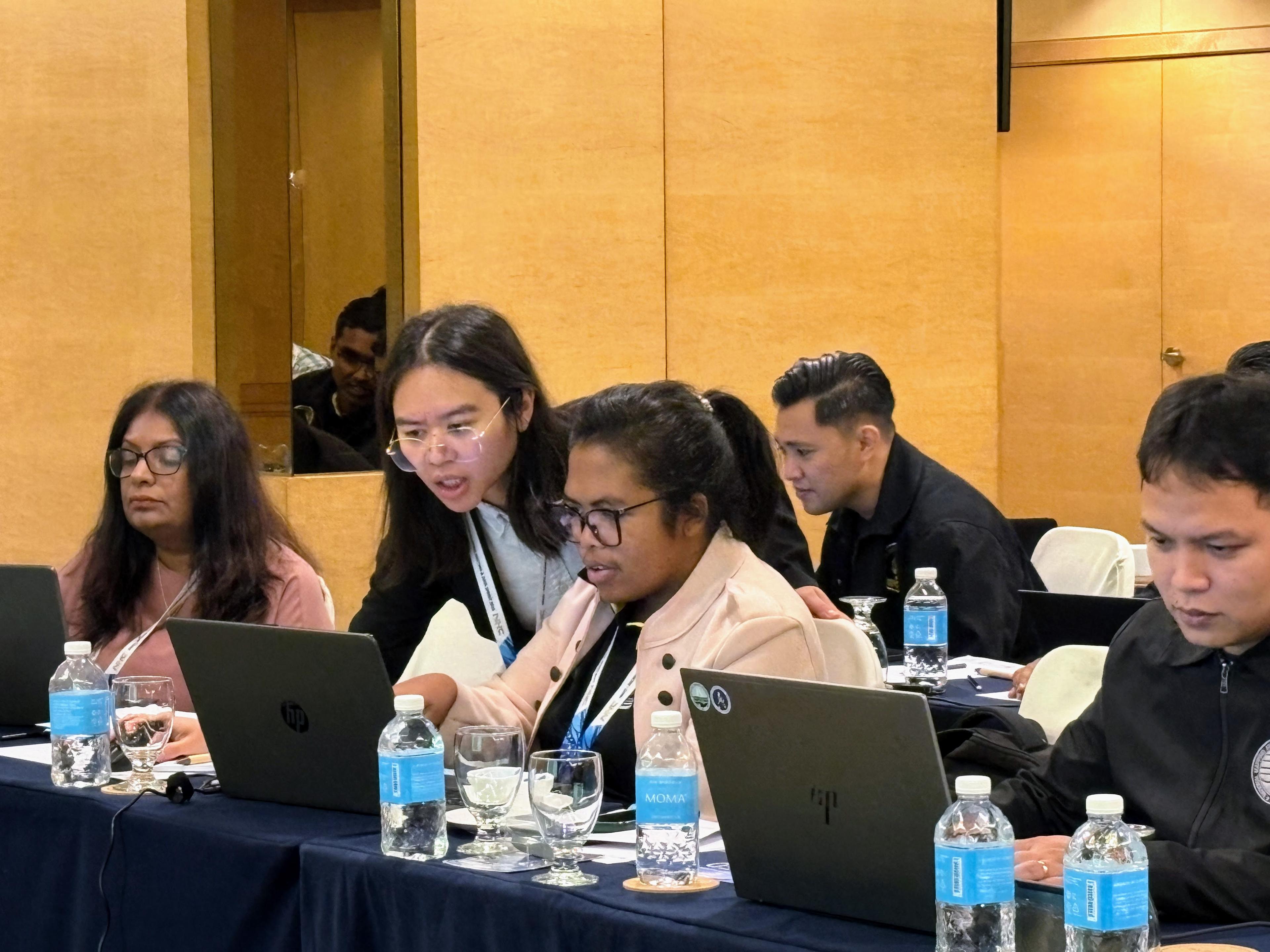
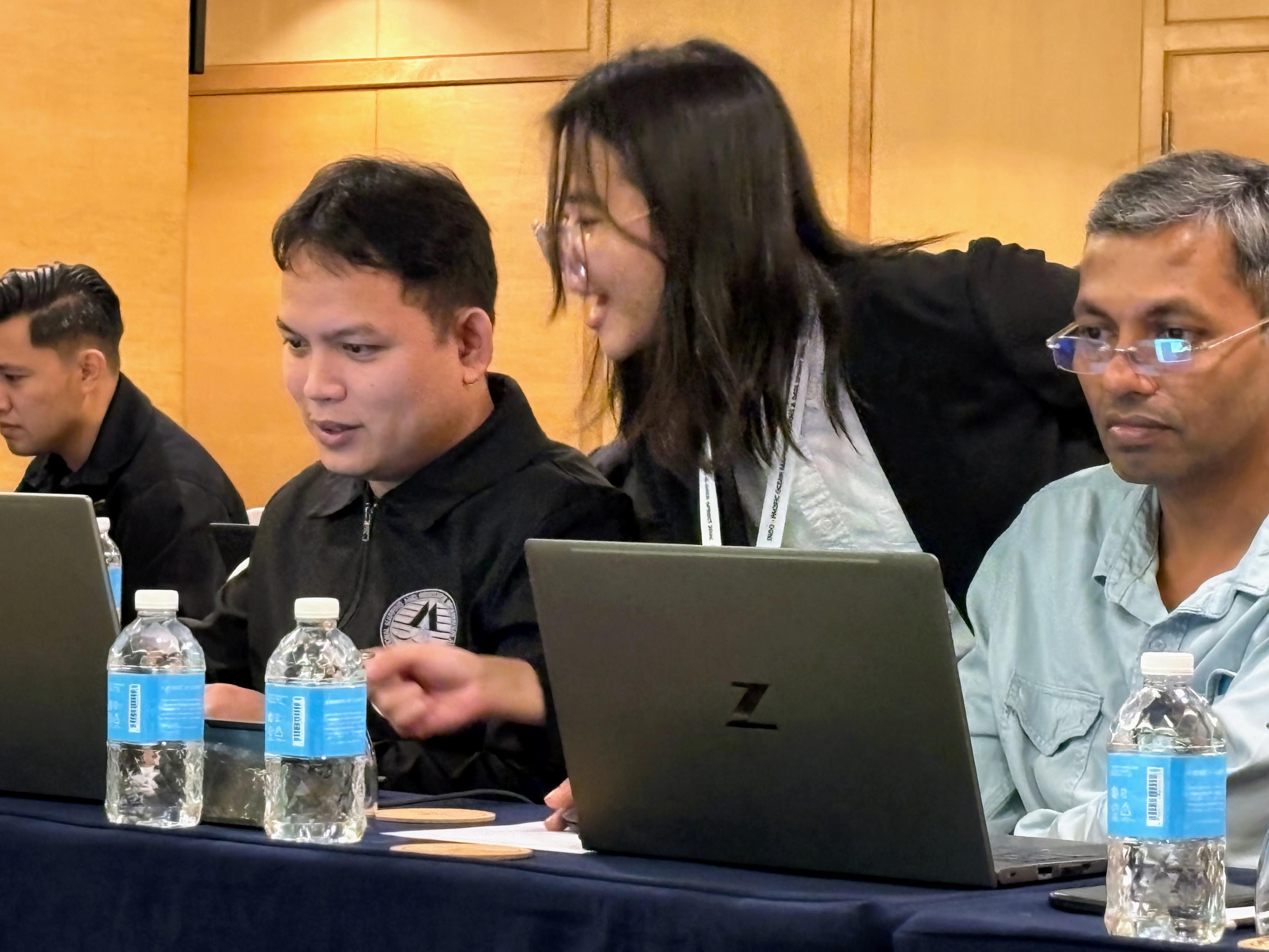
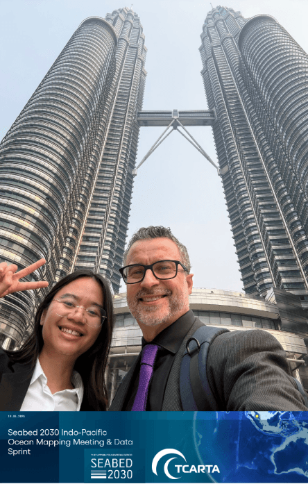
Last month in Kuala Lumpur, Malaysia, TCarta joined forces with regional hydrographers and the Nippon Foundation-GEBCO Seabed 2030 Project at the Seabed 2030 Indian and Pacific Ocean Mapping Meeting & Data Sprint to deliver just that. Co-hosted by Seabed 2030 and the National Hydrographic Centre (NHC) of the Royal Malaysian Navy, the 3-day event brought together hydrographers, marine scientists, and geospatial specialists from across the Indo-Pacific to discuss Ocean mapping technologies, projects and initiatives during the Meeting portion and hands-on Data Sprint with multibeam data processing and Satellite Derived Bathymetry workshop time, turning satellite Earth observation into actionable, coastal bathymetry.
The Hands-On Data Sprint: Introducing Space2Seabed
The technical centerpiece of the week for TCarta was a hands-on Satellite Derived Bathymetry (SDB) Data Sprint led by TCarta’s own Felicia Nurindrawati. As the primary software developer, Felicia unveiled Space2Seabed, a custom QGIS plugin built by TCarta to operationalize SDB workflows within an accessible, open-source GIS environment.
Working with 30+ participants representing 12 nations, Felicia walked attendees through the concept of satellite derived bathymetry, foundational physics, imagery pre-processing, and predictive modeling required to extract calibrated depth surfaces. Delivering the technical instruction bilingually in English and Bahasa Melayu, she introduced a machine learning framework that moves beyond traditional two-band optical ratios:
- Imagery Access and Selection: Programmatic and visual access to open source imagery to select from European Space Agency (ESA) Sentinel-2 imagery with suitable date ranges and water conditions for processing.
- Sensor Integration: Integrating 10-meter multispectral imagery imagery with spaceborne photon-counting lidar tracks from NASA’s ICESat-2 (ATLAS instrument) and traditional hydrographic survey data.
- The Demonstration Site: Running hands-on depth extractions over the Maldives, chosen for its good optical water clarity, complex coral reef morphology, and relevance to regional atoll mapping challenges.
- Predictive ML Modeling: Training a Random Forest regression model on ICESat-2 photons to autonomously predict water column depths across multi-band satellite data without requiring costly in-situ acoustic seed data.
The code and architecture behind the Space2Seabed plugin will soon be open-sourced in an upcoming public GitHub repository, giving the global hydrographic community immediate access to standardized, reproducible space-to-seafloor workflows.
Institutionalizing SDB: From Jamaica’s NLA to the Western Indian Ocean
Operational technology is only as effective as the institutions running it. During the plenary meeting sessions, TCarta President Kyle Goodrich delivered a presentation detailing how maritime nations can transition Satellite Derived Bathymetry from an experimental research project into everyday national survey workflows to improve efficiency and safety at sea.
Kyle showcased the multi-year progression of the National Land Agency (NLA) of Jamaica, highlighting how this Large Ocean State systematically adopted SDB to establish a hydrographic baseline, reduce hydrographic survey vessel risk in hazardous nearshore shoals, and modernize national nautical charts.
Drawing clear parallels to the Indo-Pacific region, Kyle also shared milestone results from the Western Indian Ocean Marine Science Association (WIOMSA) SDB capacity-building workshop held in Kenya in late 2025 and supported by the Nippon Foundation Seabed 2030 Project. That initiative equipped more than 20 hydrographers and marine scientists across 12 African and island nations with the practical skills needed to independently generate bathymetry for local coastal zone management, storm surge modeling, and marine spatial planning.
Community, Culture, and Common Purpose
Technical progress moves fastest when backed by genuine collaboration and trust built on open discussion…but good food, hospitality and entertainment helps, too! Beyond the command lines and algorithm tuning, the gathering served as a powerful forum for regional hydrographic offices to get to know one another, share stories and connect interpersonally.
TCarta’s deepest thanks go to the National Hydrographic Centre of the Royal Malaysian Navy for their impeccable organization, hospitality, and leadership throughout the week. The official evening soiree, complete with traditional cultural performances and an unforgettable spread of Malaysian cuisine, reinforced the human relationships underpinning ocean mapping.
Whether navigating the complex barrier reefs of the Indo-Pacific or safeguarding the shallow littoral approaches of island nations, mapping our global ocean by 2030 requires every tool at our disposal. TCarta was pleased and honored to bring our knowledge, expertise and people to engage with the Indian and Pacific Ocean communities. We learned as much as we instructed, if not more, and look forward to continuing these relationships and conversations remotely and at future events in the region.
Bring Operational SDB Training to Your Agency
TCarta designs and conducts bespoke Satellite Derived Bathymetry training programs, technical workshops, and capacity-building frameworks for government agencies, hydrographic offices, and commercial survey teams worldwide.
To explore customized SDB training, institutional onboarding, or littoral survey scoping:
Connect with the TCarta Team to Discuss Training Programs →