TCarta delivers high-precision marine intelligence where traditional surveys cannot reach.
From national security to environmental resources, TCarta’s space-based solutions eliminate logistical risks and provide a scalable foundation for mission success across every coastal sector.
Markets
Case Study
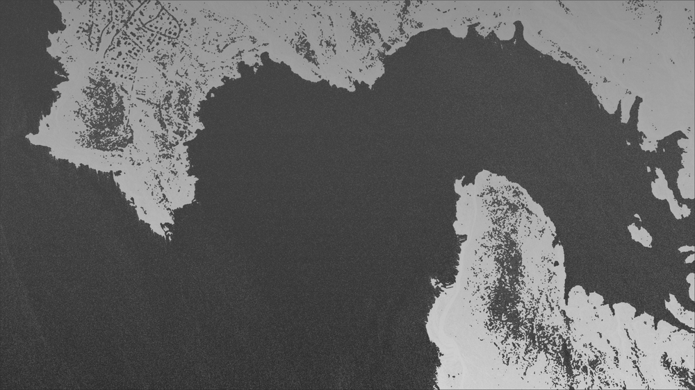
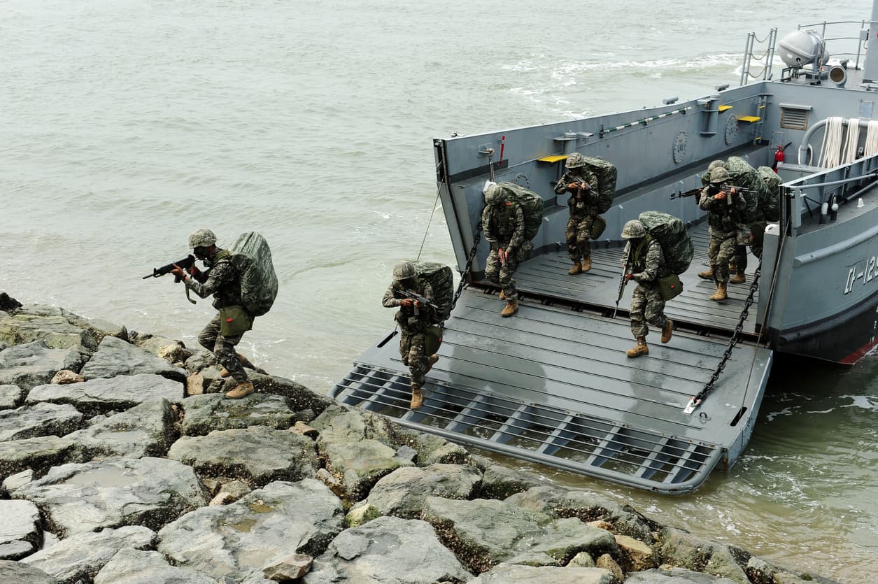
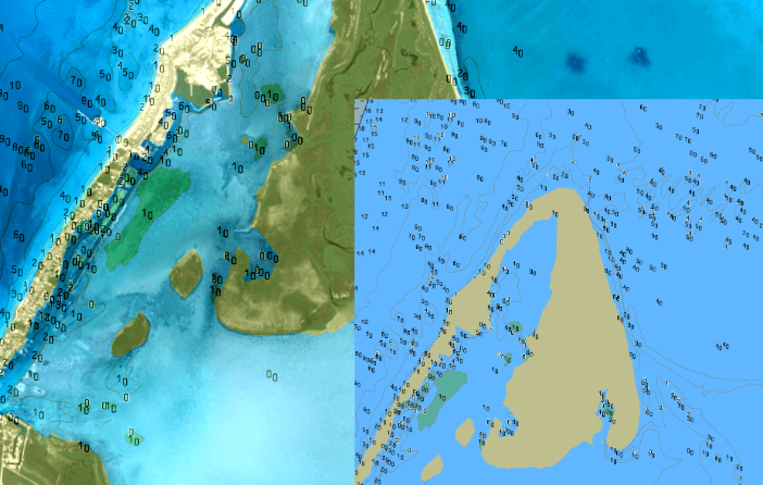
A national charting authority meets requirements for modern bathymetric information and improved safety of navigation by leveraging satellite technology to map vast international waters without putting boots on the ground or drawing attention to politically sensitive locations.
National Interests
Actionable geospatial intelligence is in high demand. We answer this call with a scalable foundation for coastal charting, security, and defense by leveraging space-based technology, coupled with AI to ensure rapid turnaround of critical hydrospatial data.
- Coastal charting
- Domain awareness
- Maritime intelligence
- Disaster Relief
Case Study
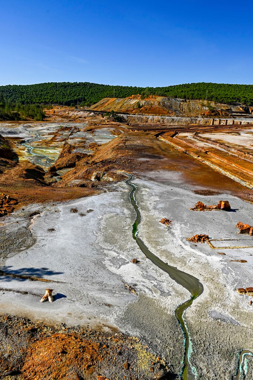
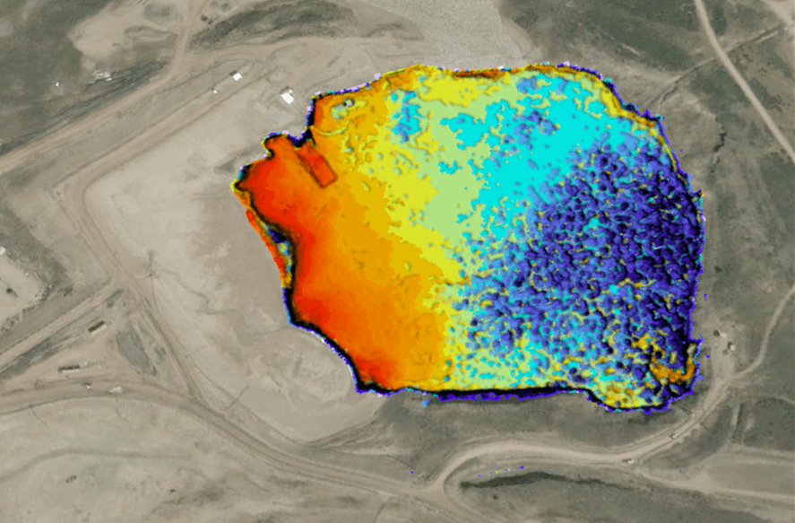
A mining company leverages very high resolution satellite imagery and advanced remote sensing technology to obtain volumetric calculations of multiple tailings ponds, effectively minimizing the number of in situ surveys, and leading to increased efficiency, lower costs and safer conditions for mine operations.
Energy & Mining
Space-based technology is revolutionizing energy and mining site management by eliminating the human risk of traditional vessel surveys. Satellite derived bathymetry provides a scalable foundation for monitoring tailing ponds, ensuring that commercial operations remain safe, compliant, and data-driven without the logistical burden or hazards of traditional surveys.
- Site monitoring
- Volumetric calculations
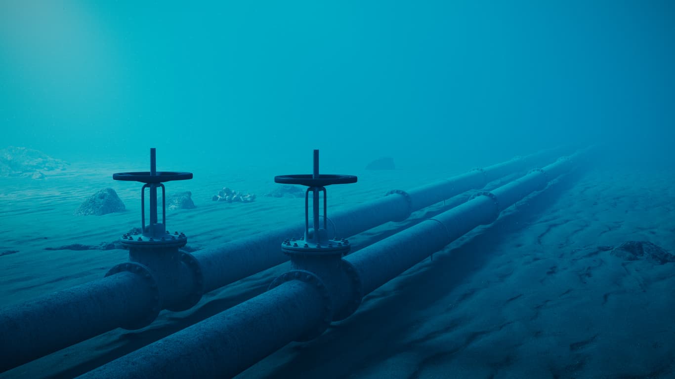
- Pipeline and cable route planning
Case Study
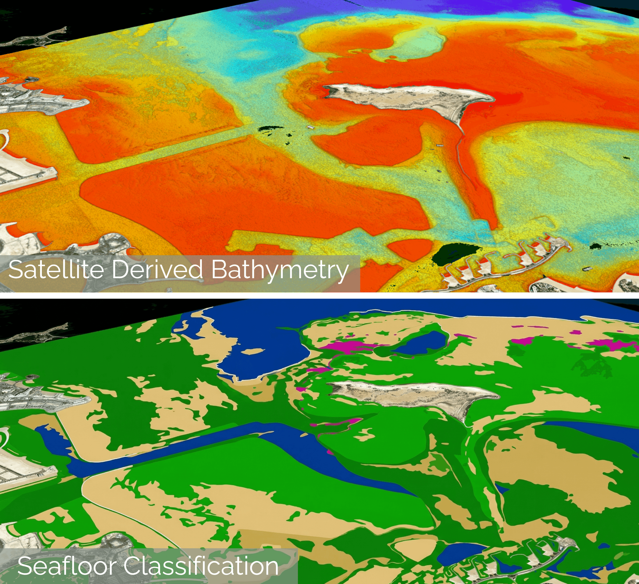
A coastal engineering company operationalizes satellite derived bathymetry and seafloor classification to monitor depths of dredged channels and assess potential environmental impacts for cost-effective project reconnaissance and planning.
Infrastructure & Engineering
High-resolution bathymetry and seafloor classification empower the streamlining of every coastal development phase, from initial site selection to post-construction monitoring. Derived from the most current satellite imagery, this technology provides the critical baseline for precise dredging, marina design, or port expansion without the logistical delays or mobilization costs of traditional surveys.
- Port and marina development
- Dredging
- Site planning
- Change assessments
Related Offerings
Additional Resources
Case Study
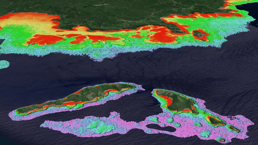
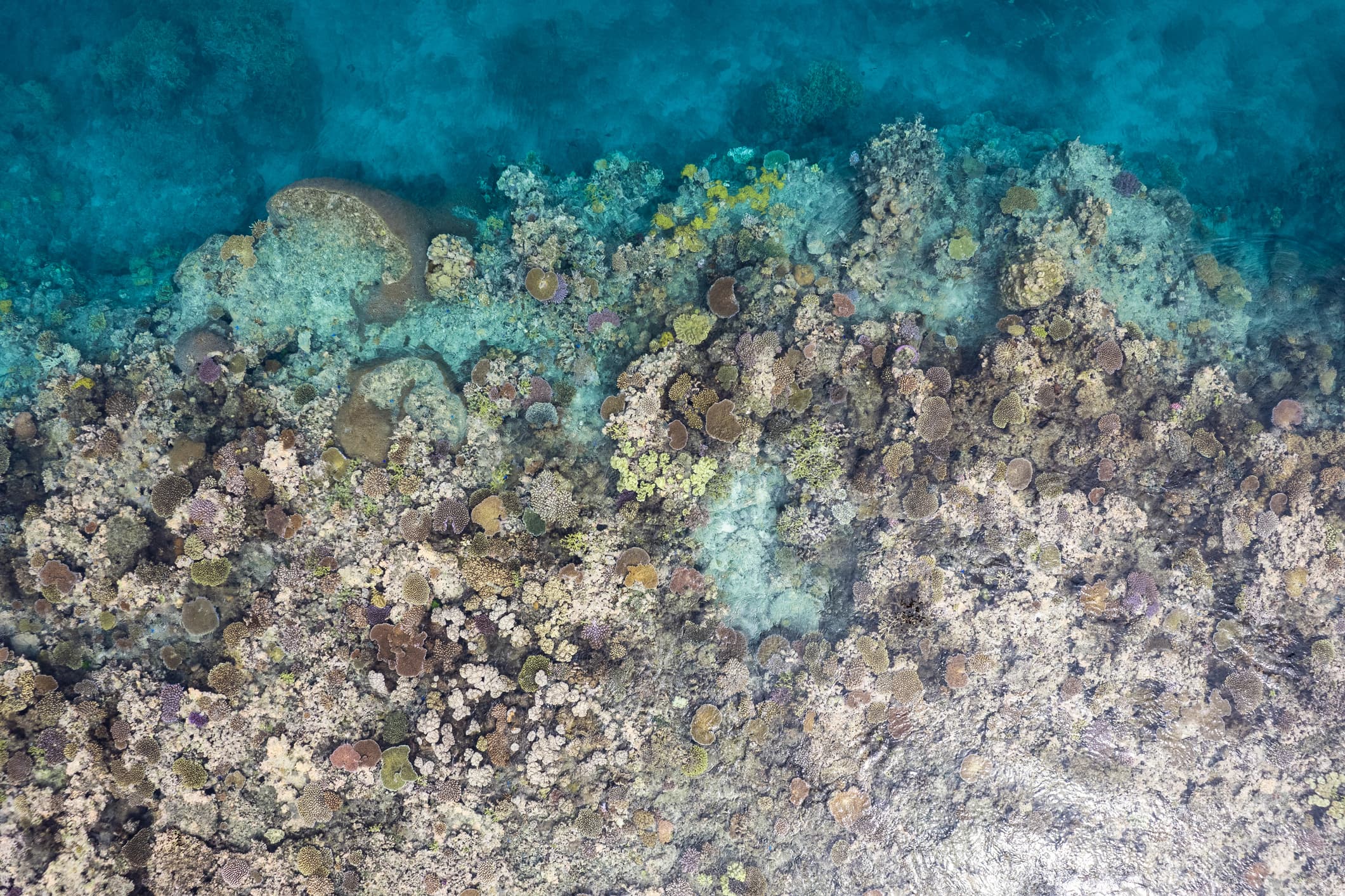
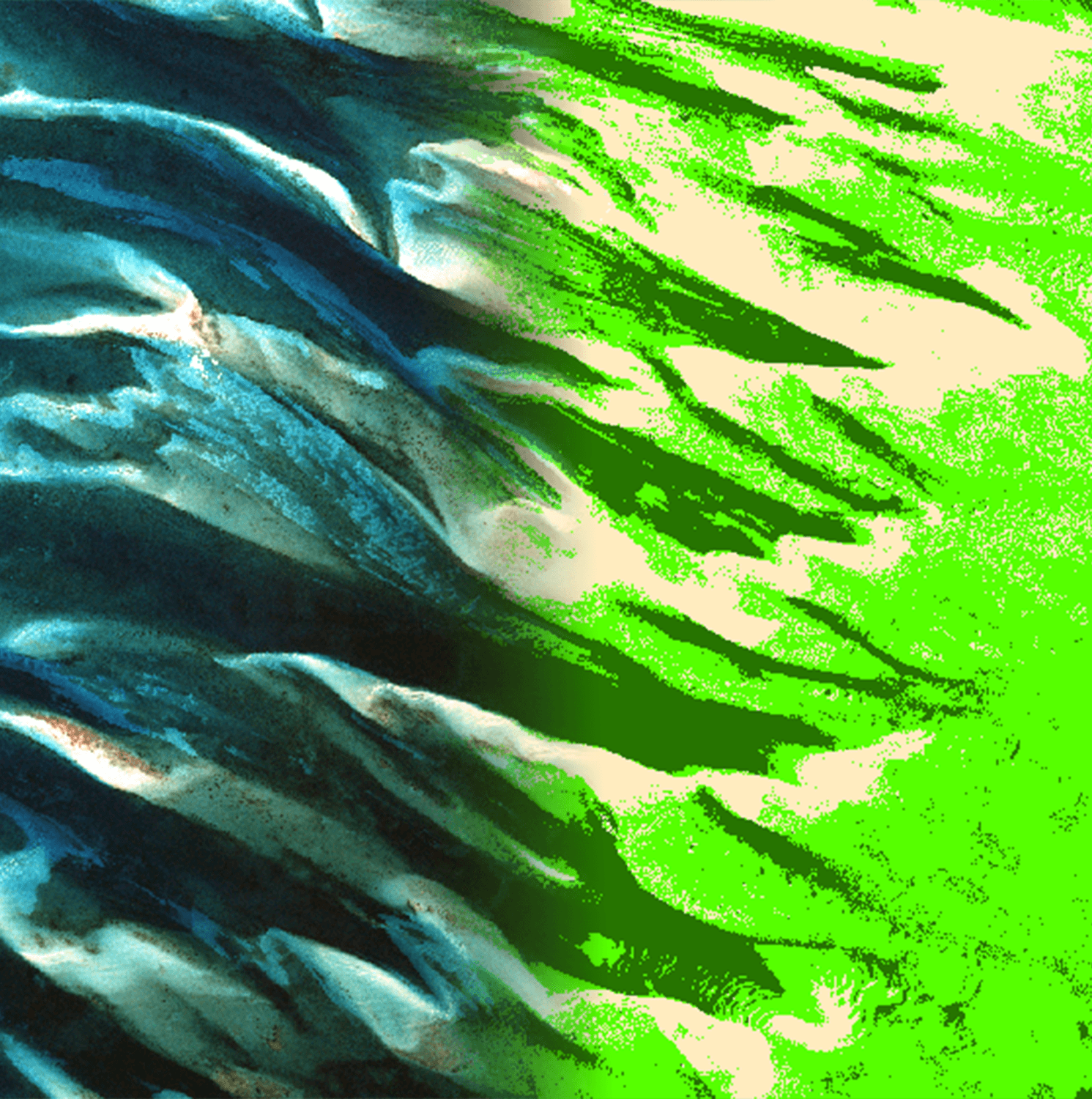
Environmental agency utilizes ‘before and after’ satellite derived seagrass classification spanning 8 years to monitor seagrass species and density. The change detection product is used to quantify anthropogenic impact and assess potential for replanting programs.
Resources & Monitoring
Rapid change detection and seafloor characterization transform the monitoring of climate change impact on biodiversity, water quality, and carbon sinks. By leveraging space-based sensors to identify algae blooms, track sargassum, or assess the health of coral, seagrass, or mangroves over time, this technology ensures that blue carbon initiatives and resource management are backed by current, verifiable data across coastal reaches.
- Blue carbon assessments
- Habitat classification
- Environmental monitoring and climate resilience
Case Study
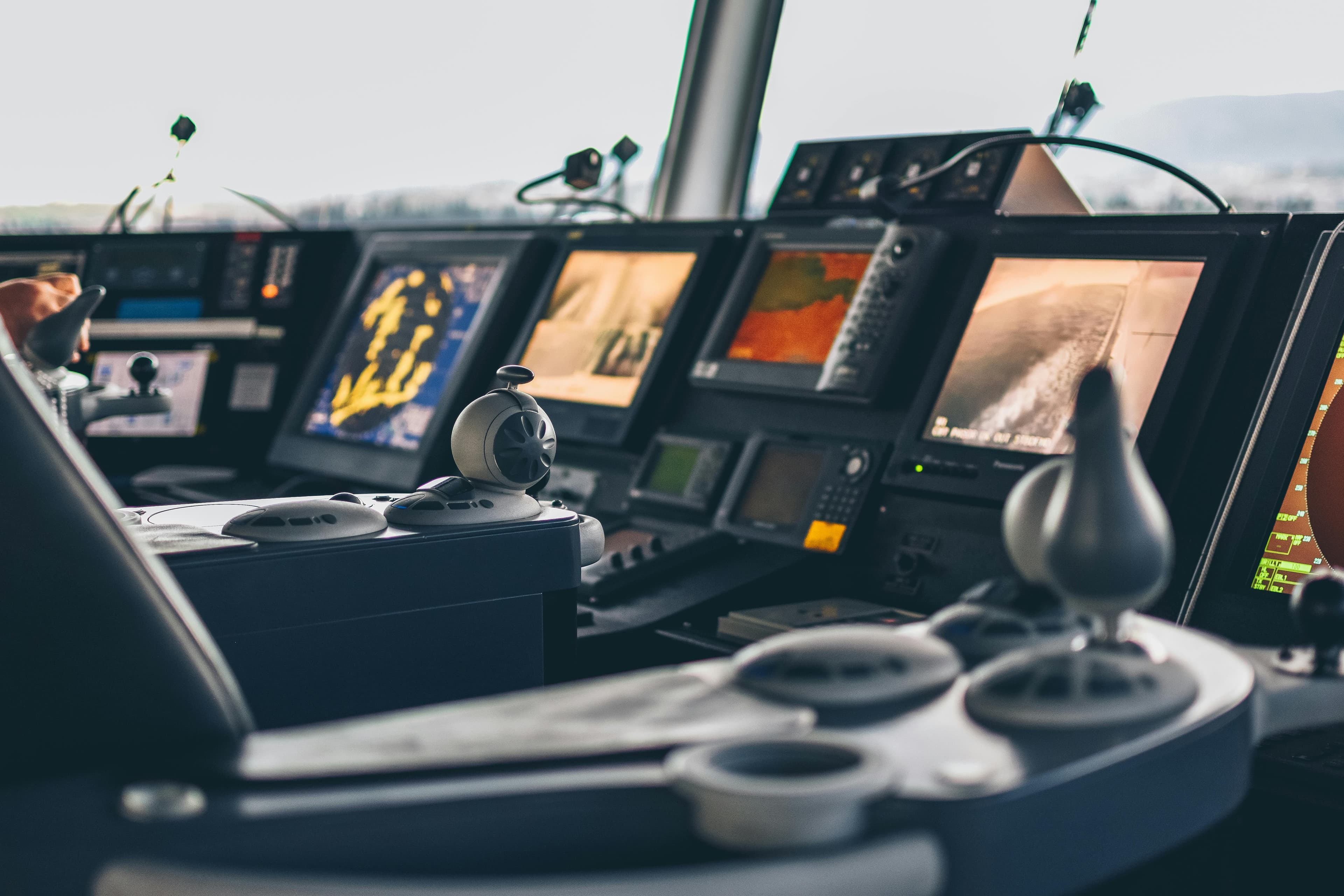
SDB is incorporated into chart products including ECDIS to improve and update on-boat bathymetric information. Readily available as an S-57 ENC chart, or adapted to fit the S-100 standard for bathymetry in the S-102 format.
Marine Electronics
The integration of satellite derived data into marine electronics represents the next generation of nautical charting, prioritizing speed, safety, and accessibility. This technology eliminates the "data gap" in shallow-water navigation, providing the easy-to-ingest hydrospatial intelligence necessary for modern autonomous and crewed vessels to operate with confidence in any littoral environment.
- Enhanced chart display systems
- Feature extraction for safety of navigation