SAR intertidal zone mapping
Delivering a highly accurate, consistent spatial record of the dynamic land-sea interface, SAR intertidal mapping ensures updated coastal models. Users gain a precise delineation of the high water line and low water line, and the ability to calculate the extent of the intertidal flats and identify topographical changes caused by sediment transport or sea-level rise. This is achieved by leveraging Synthetic Aperture Radar (SAR) sensors, which analyze the unique backscatter signatures of water versus land and, unlike traditional optical satellites, penetrate cloud cover and operate independently of solar illumination for consistent all-weather monitoring. The service is further enhanced by using tide gauges and models to task SAR in coincidence with tidal heights.
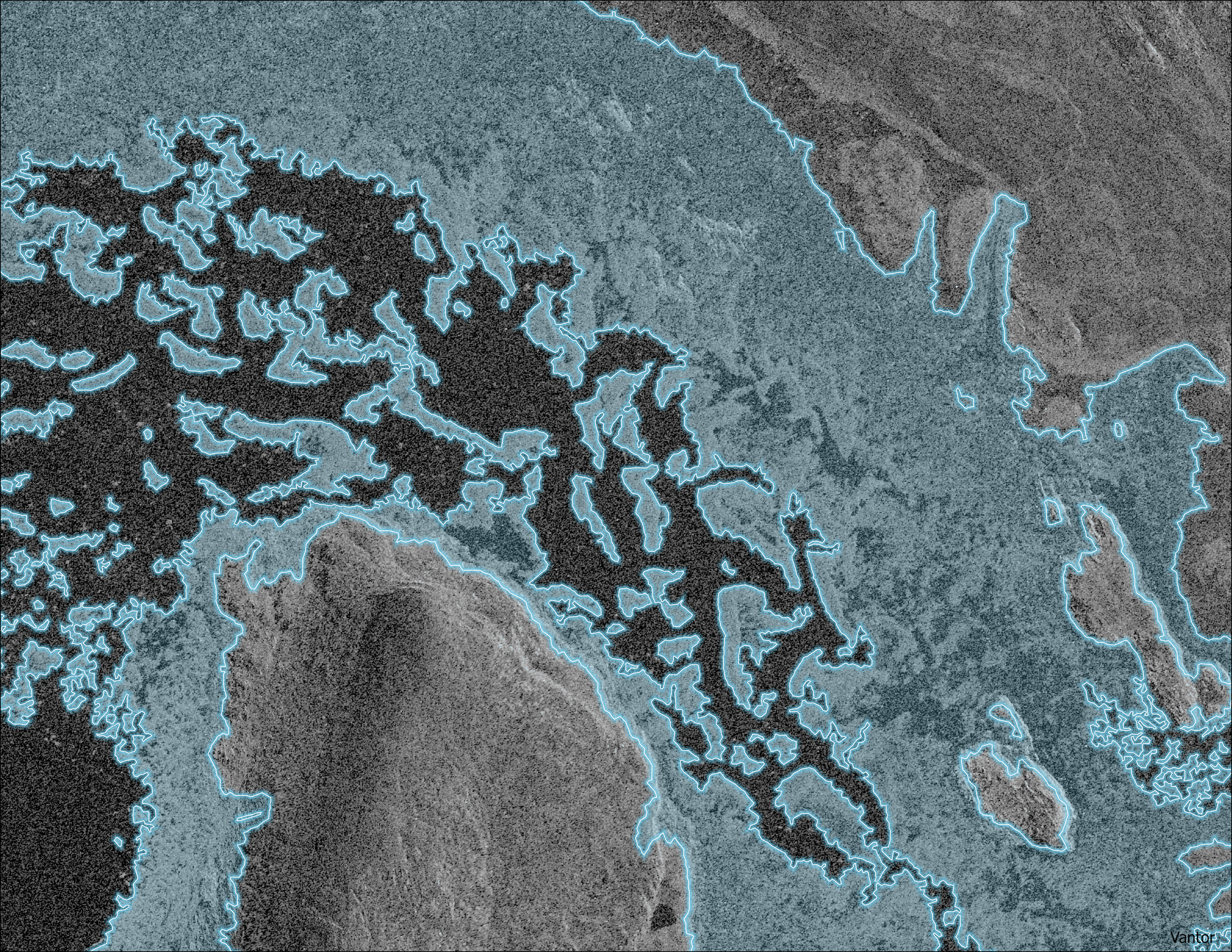
Highly precise and up-to-date mapping of intertidal zones and shoreline in dynamic, hard-to-map locations.
SAR imagery
Shapefile, Esri File Geodatabase, GeoPackage, KML/KMZ, and GeoJSON