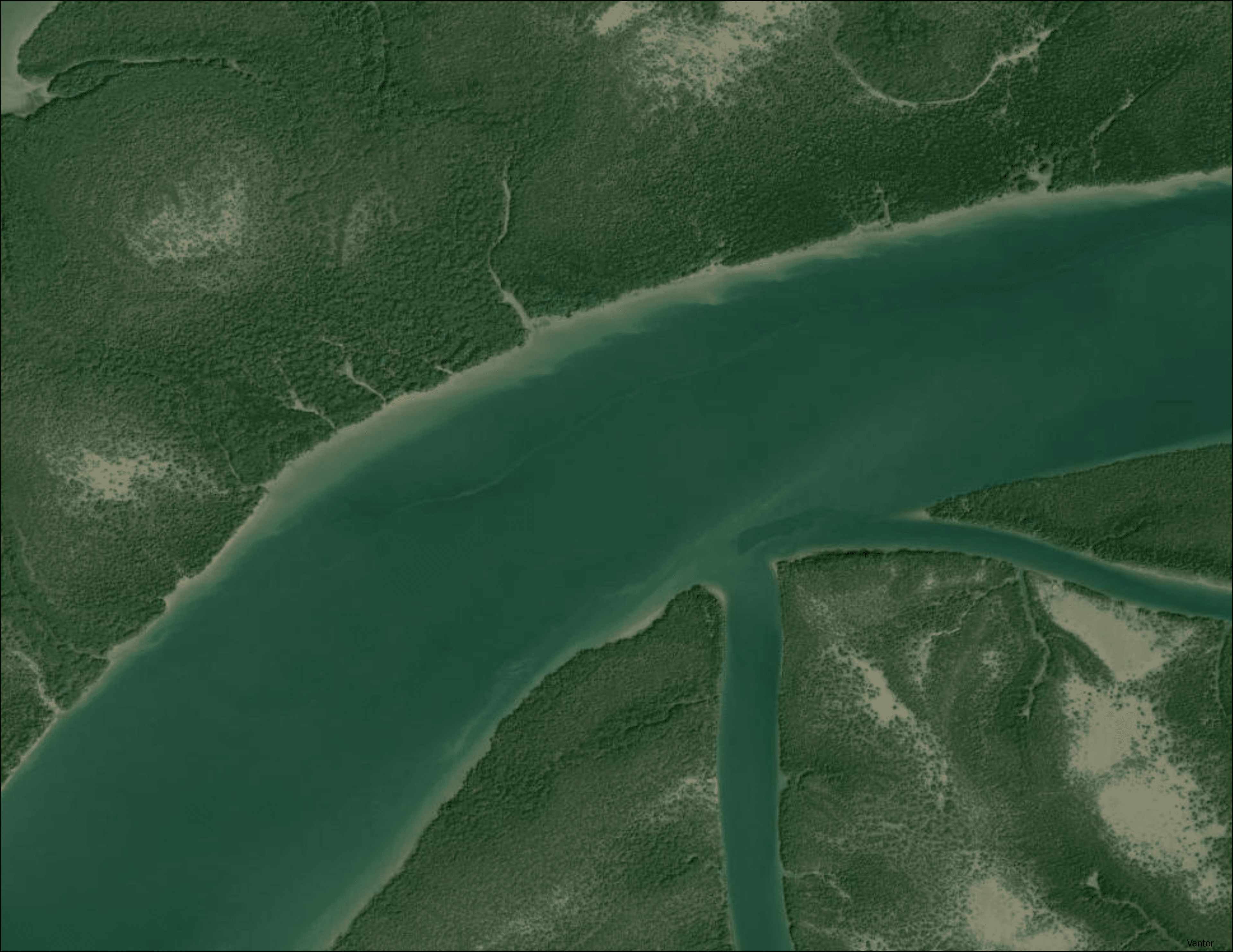
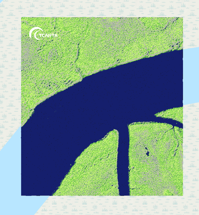
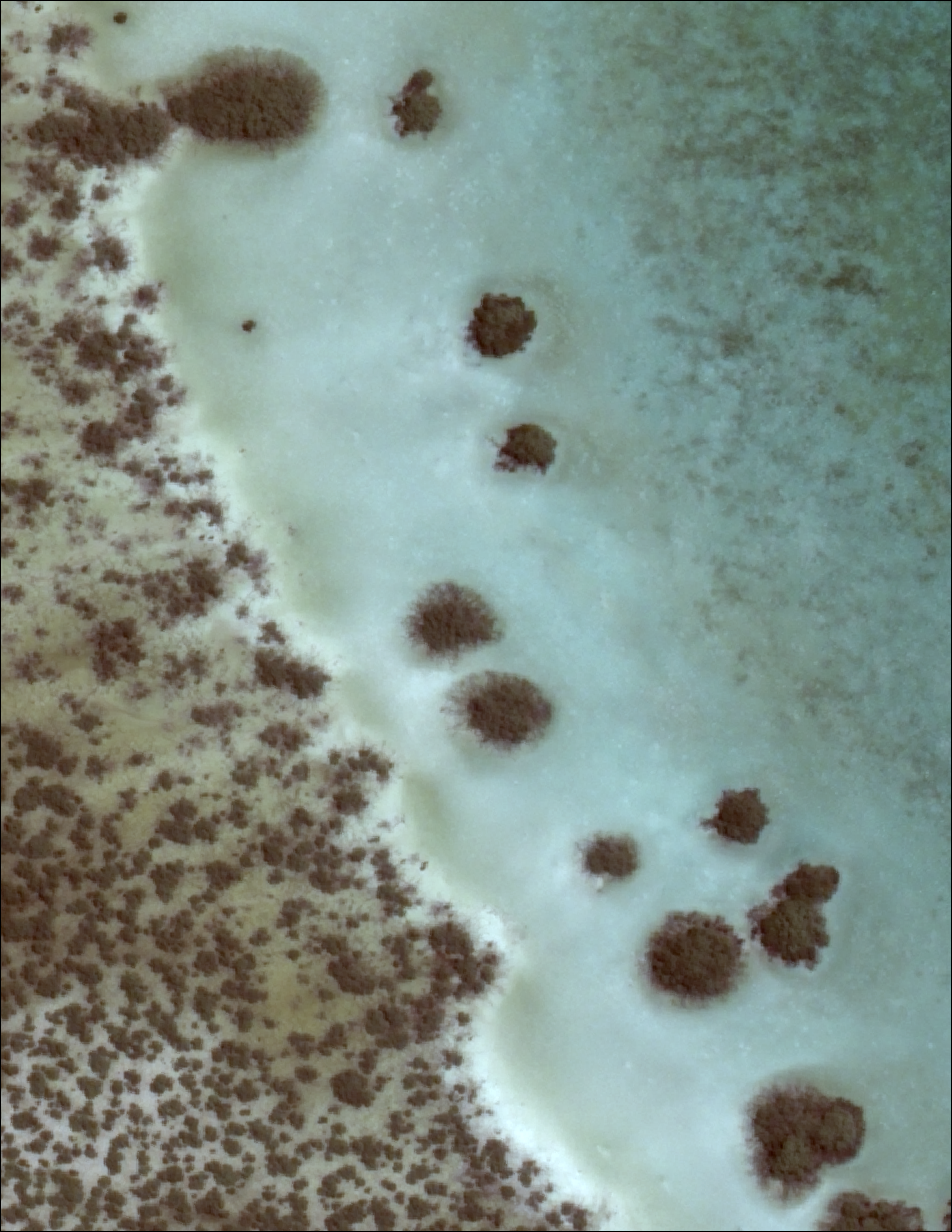
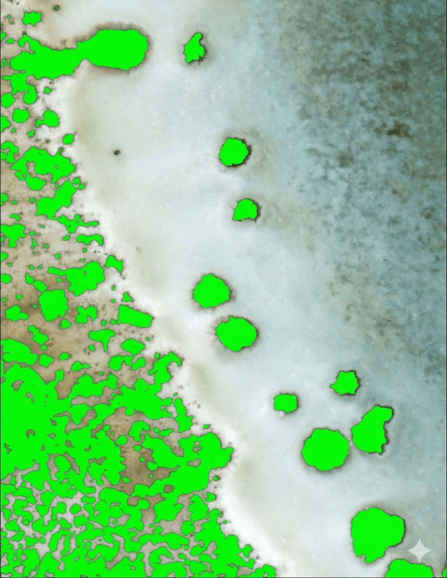
Mangrove Mapping
This service leverages space-based remote sensing to provide detailed information on mangrove extent, density, species type, and health. Customers gain the ability to map mangrove forests and monitor both deforestation and more subtle degradation and health trends over time, which is critical for supporting coastal resilience planning, responsible coastal development, and blue carbon initiatives. This high-resolution mapping is achieved through a robust multi-sensor approach, leveraging Synthetic Aperture Radar (SAR) in combination with high-resolution multispectral and hyperspectral optical imagery.
Multi-temporal, high-resolution, large-scale analysis of mangroves provides invaluable information for conservation and restoration initiatives without environmental impact.
SAR, multispectral satellite imagery, hyperspectral imagery, ICESat-2 Bathymetry, available in situ measurements
10m, 3m, 2m, and sub-meter models in Esri FileGeodatabase; satellite imagery RGB (GeoTIFF), Google Earth KMZ project map, GeoPackage, detailed descriptive survey report; optionally delivered in a customizable analysis-ready dashboard