Satellite Mapping Training Program-1 week custom project
The 1-week custom, project-based training serves as an advanced technical skills transfer and a bathymetry production case study, designed for organizations with a project need. By the conclusion of the week, your team will have moved through the entire production pipeline to generate a complete satellite-derived data set that addresses an organizational need. Examples of custom projects include technology integrations, change detection, survey planning and gap infills, etc.
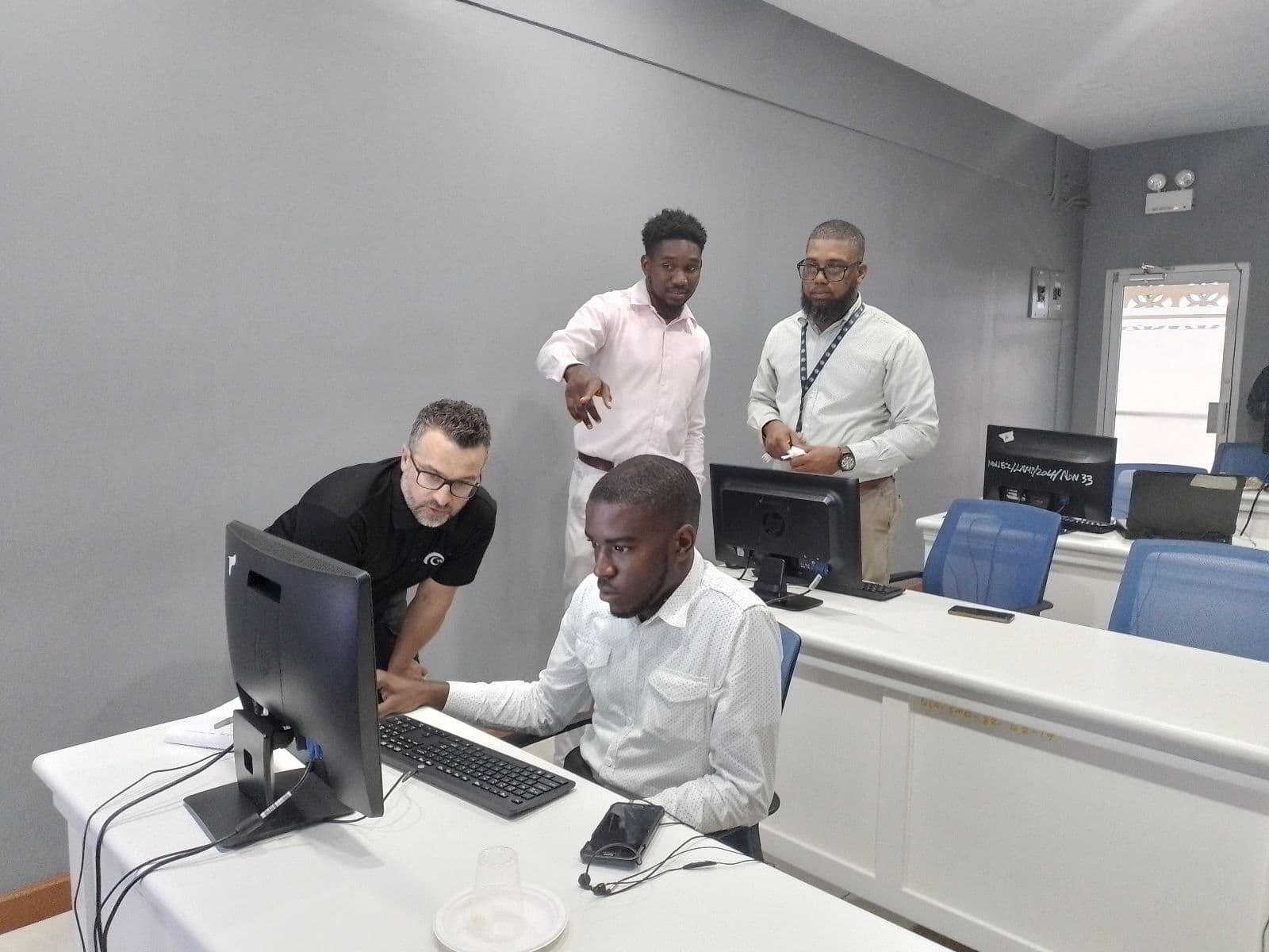
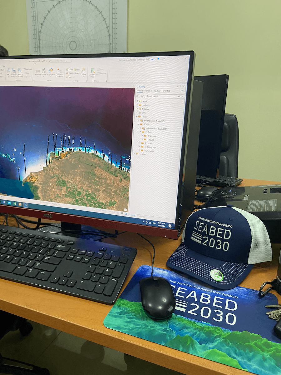
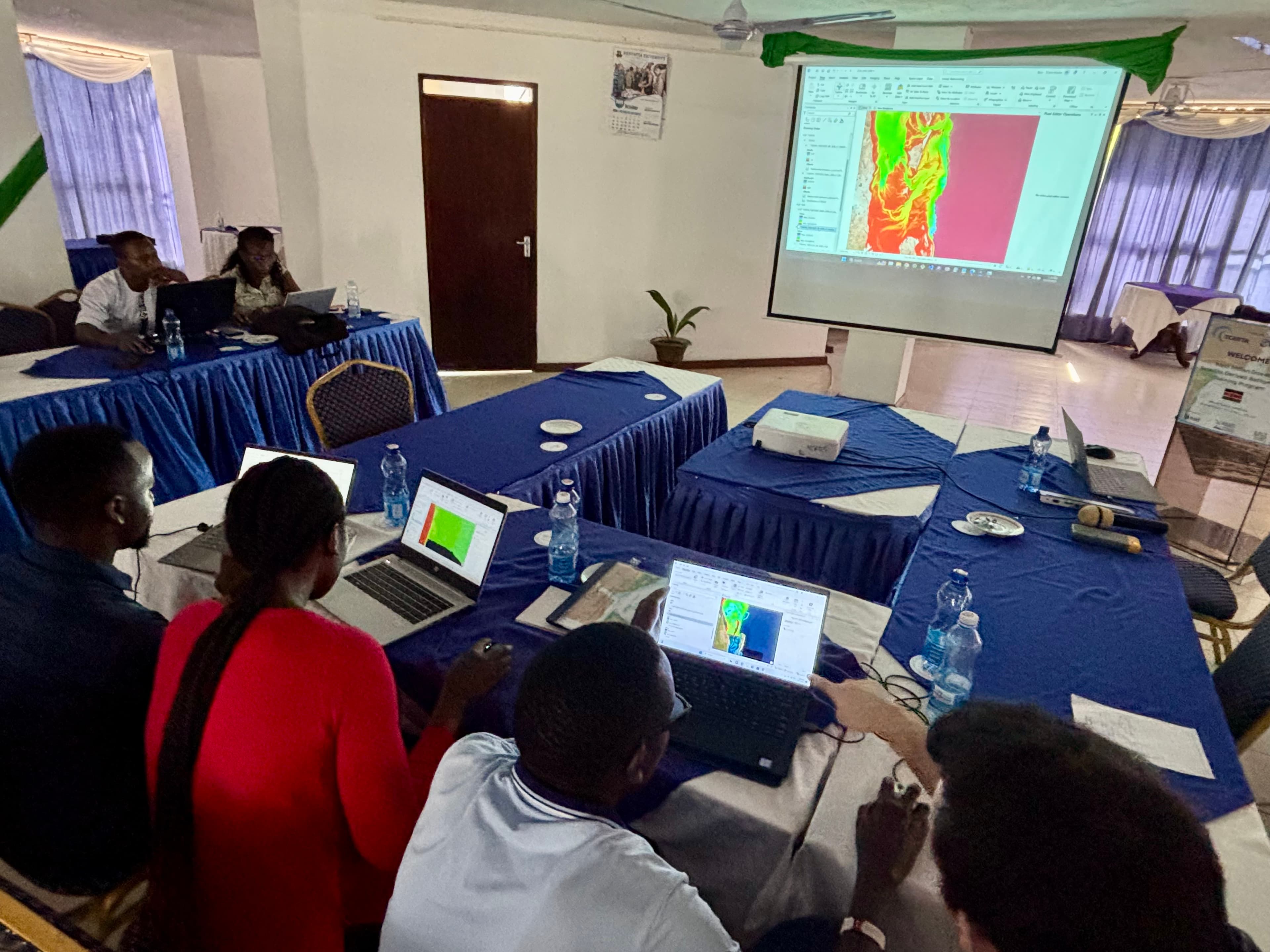
Harness the value of satellite derived coastal mapping to address an organizational need with expert support. Outcomes include a validated data set.
Participants will use project-appropriate source imagery and learn about alternative SDB inputs
Training materials; Data results; Demo software license; Certificate of Completion