Satellite Derived Bathymetry (SDB)
SDB is a high-resolution, cost-effective, coastal and shallow water intelligence product. Hydrographic-grade bathymetry is extracted from multispectral satellite imagery using proprietary workflows that leverage a combination of Artificial Intelligence and Machine Learning alongside empirical and physics-based approaches. TCarta leverages high precision bathymetry collected from NASA’s ICESat-2 sensor to validate results and meet IHO specifications.
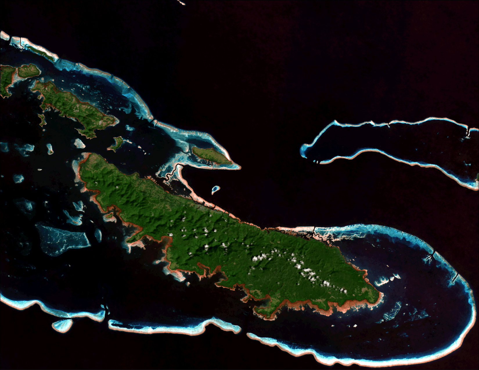
Satellite RGB image
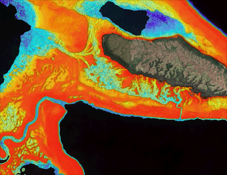
10m Resolution SDB in Papua New Guinea
SDB is a cost-effective and low-risk solution for critical ocean mapping issues. A scalable and repeatable technology, SDB provides updated information in hard-to-reach or unmapped areas without environmental impact or risk to life or equipment.
Very high resolution, multispectral satellite Imagery from ESA’s Sentinel-2 and Vantor, Airbus, Planet Labs constellations; photons from NASA’s ICESat-2.
10m, 3m, 2m, and sub-meter SDB delivered as digital bathymetric model (GeoTIFF (32-bit floating point)), uncertainty raster, satellite imagery RGB (GeoTIFF, XYZ point cloud / ASCII, LAS/LAZ), and detailed product or survey report.