Satellite Mapping Training Program-3-5 Day
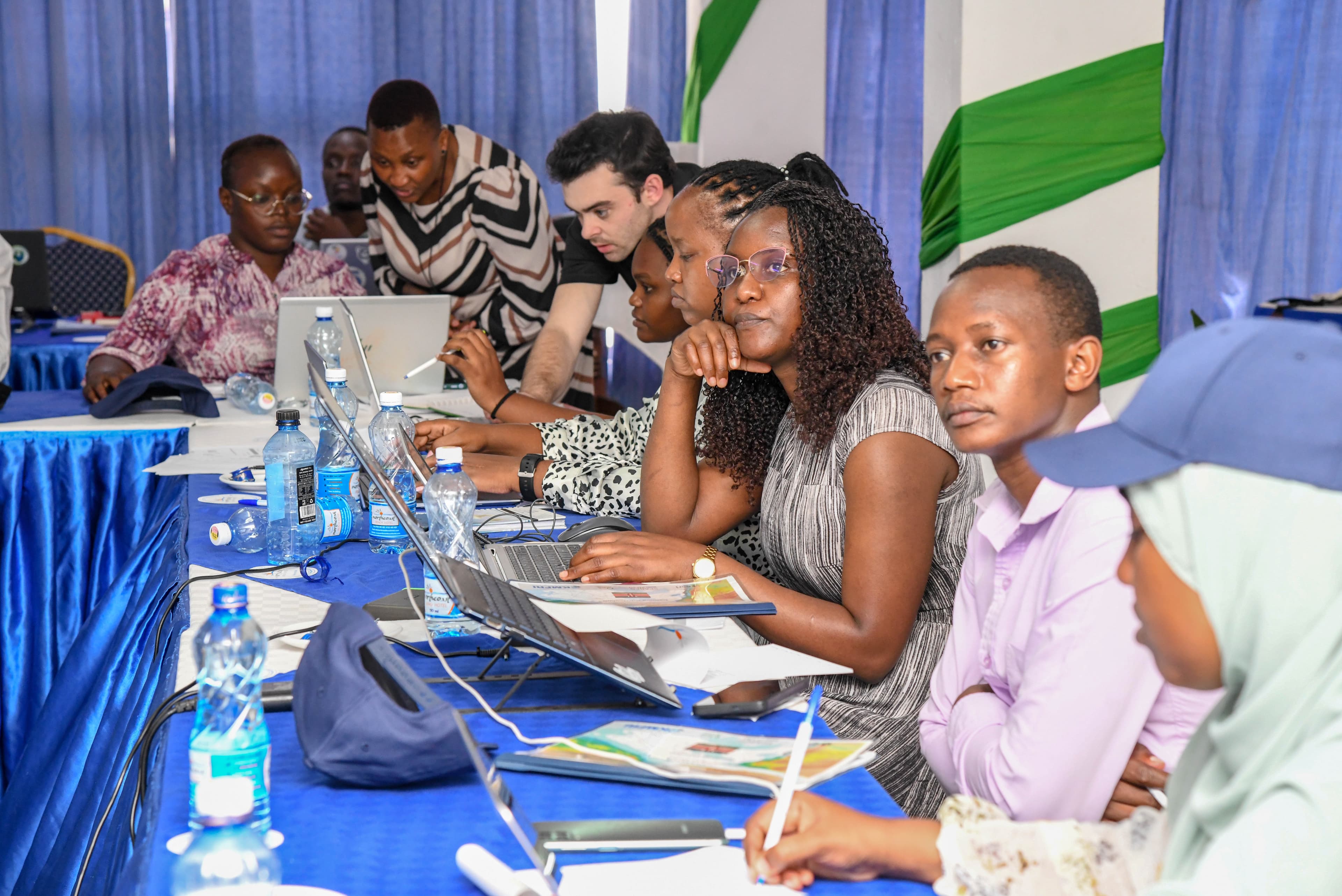
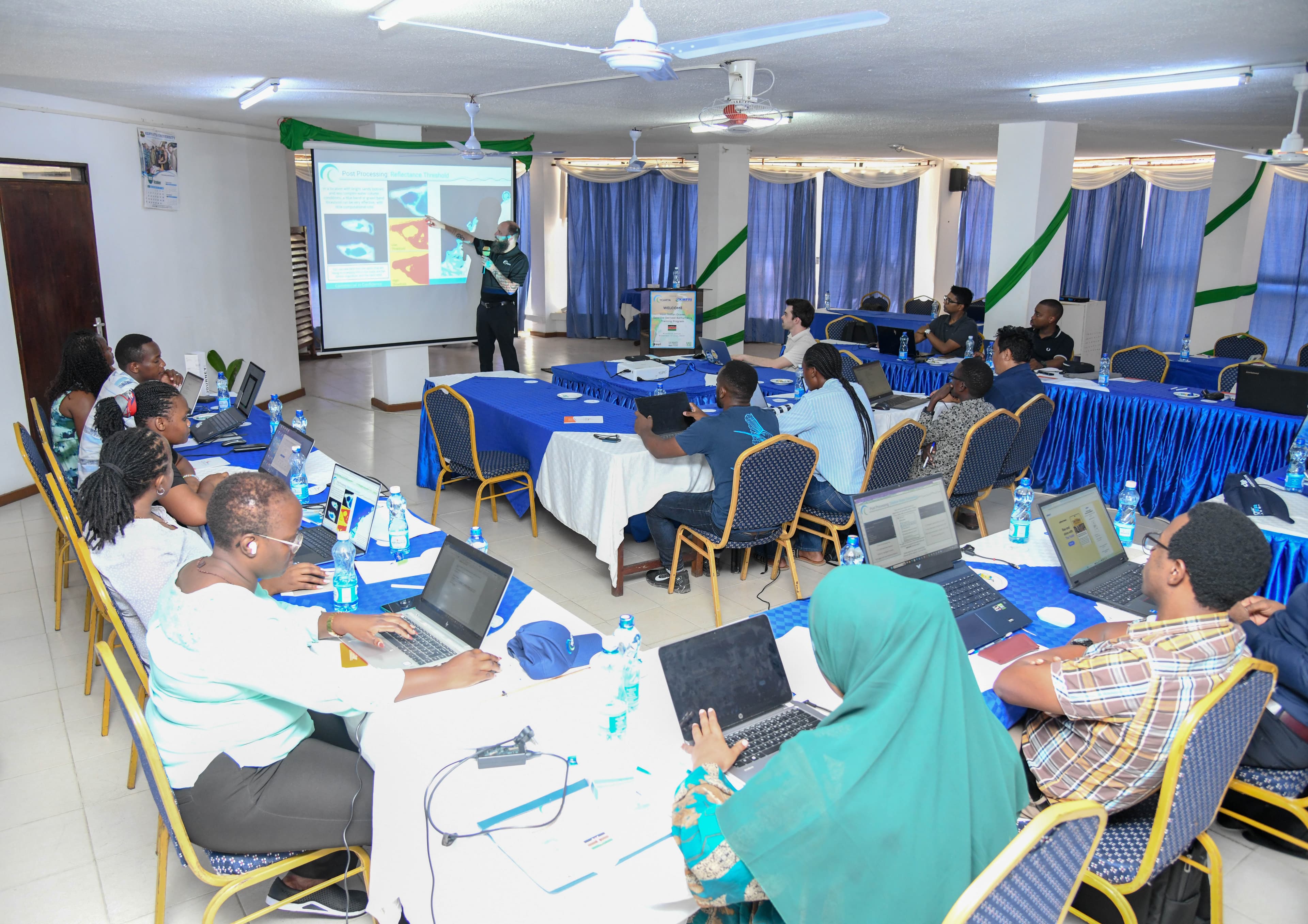
This multi-day training program transitions from remote sensing theory to data production. Instructed by senior TCarta geospatial technicians and remote sensing experts, the customizable curriculum covers relevant remote sensing concepts and the entire SDB production lifecycle, from selection and pre-processing of multispectral imagery, to the integration of ICESat-2 LiDAR soundings for calibration and validation. By the conclusion of the week, participants produce their own validated Satellite Derived Bathymetry (SDB) using TCarta’s Trident Tools SDB Software. This hands-on program facilitates the technical proficiency required to enact change at the organizational level.
Harness the value of satellite derived mapping by learning to produce it internally. Use your SDB results to conduct hydro survey planning, infill data gaps, monitor locations, and integrate SDB with other data sources.
Participants will learn about the range of SDB inputs
Training materials; Data results; Demo software license; Certificate of Completion