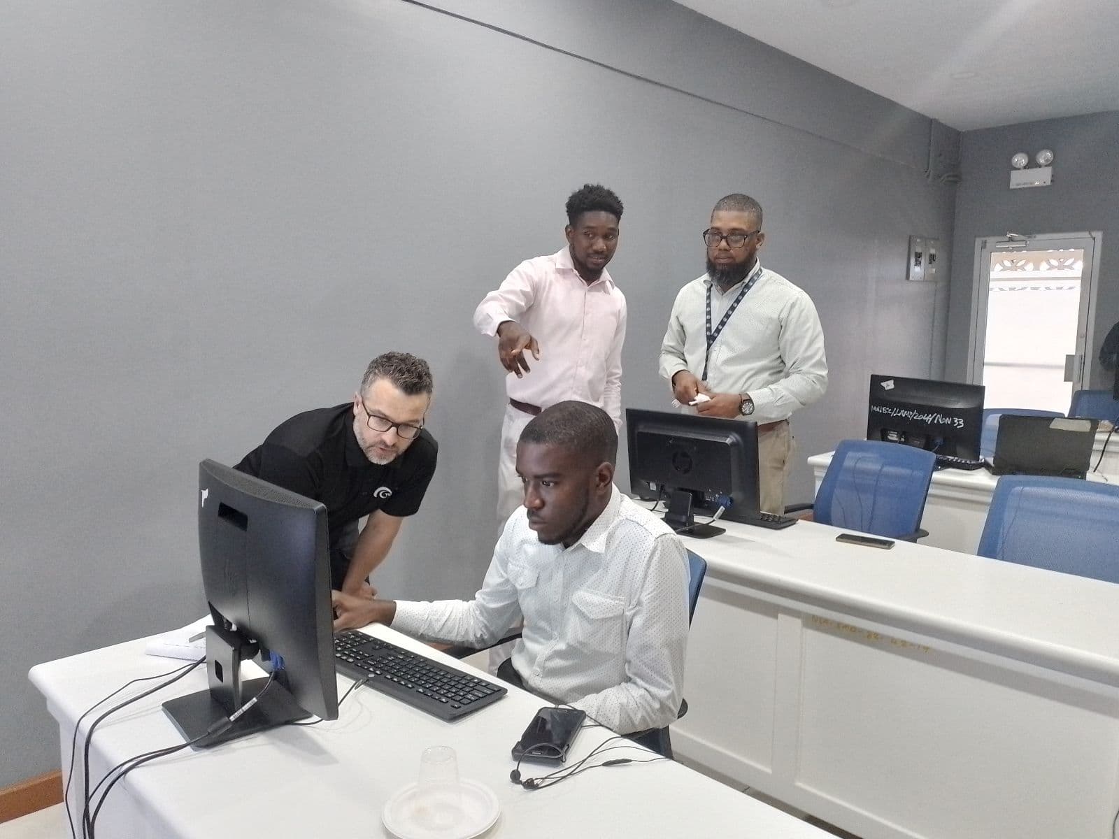
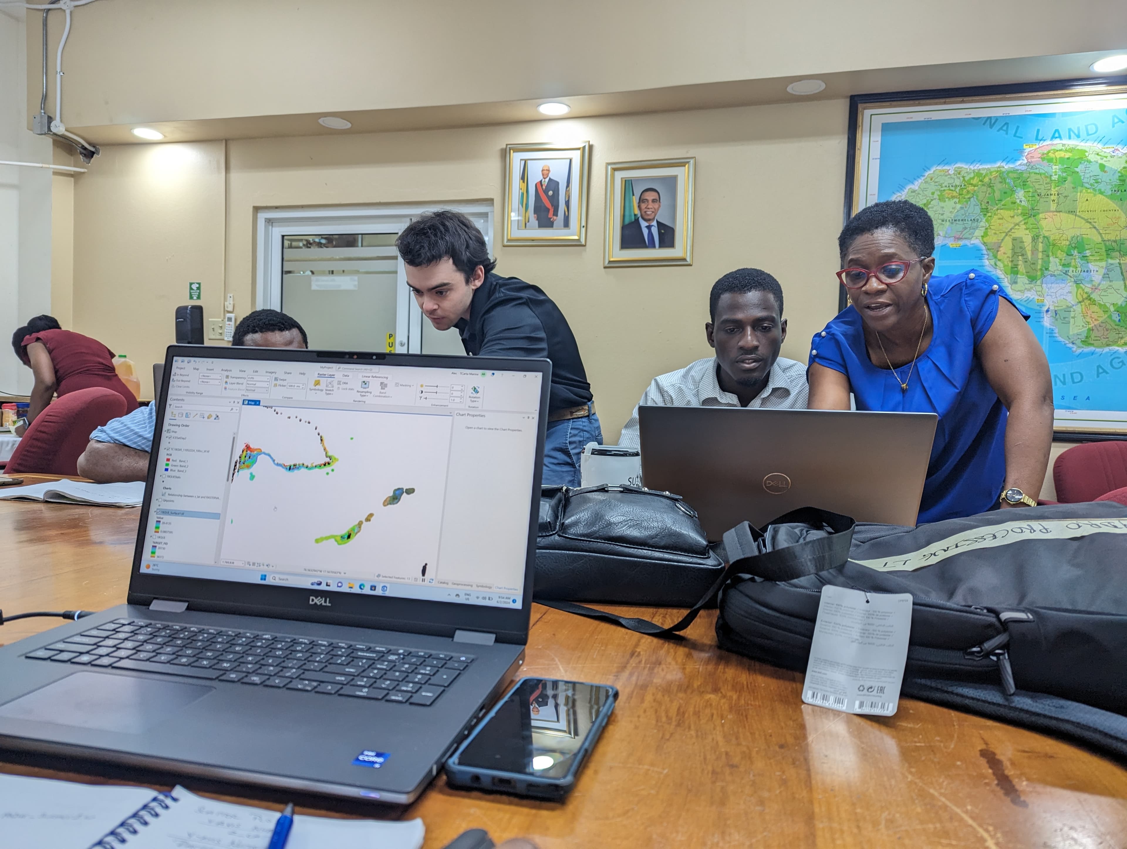
SDB Integration Training
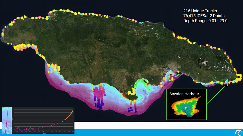
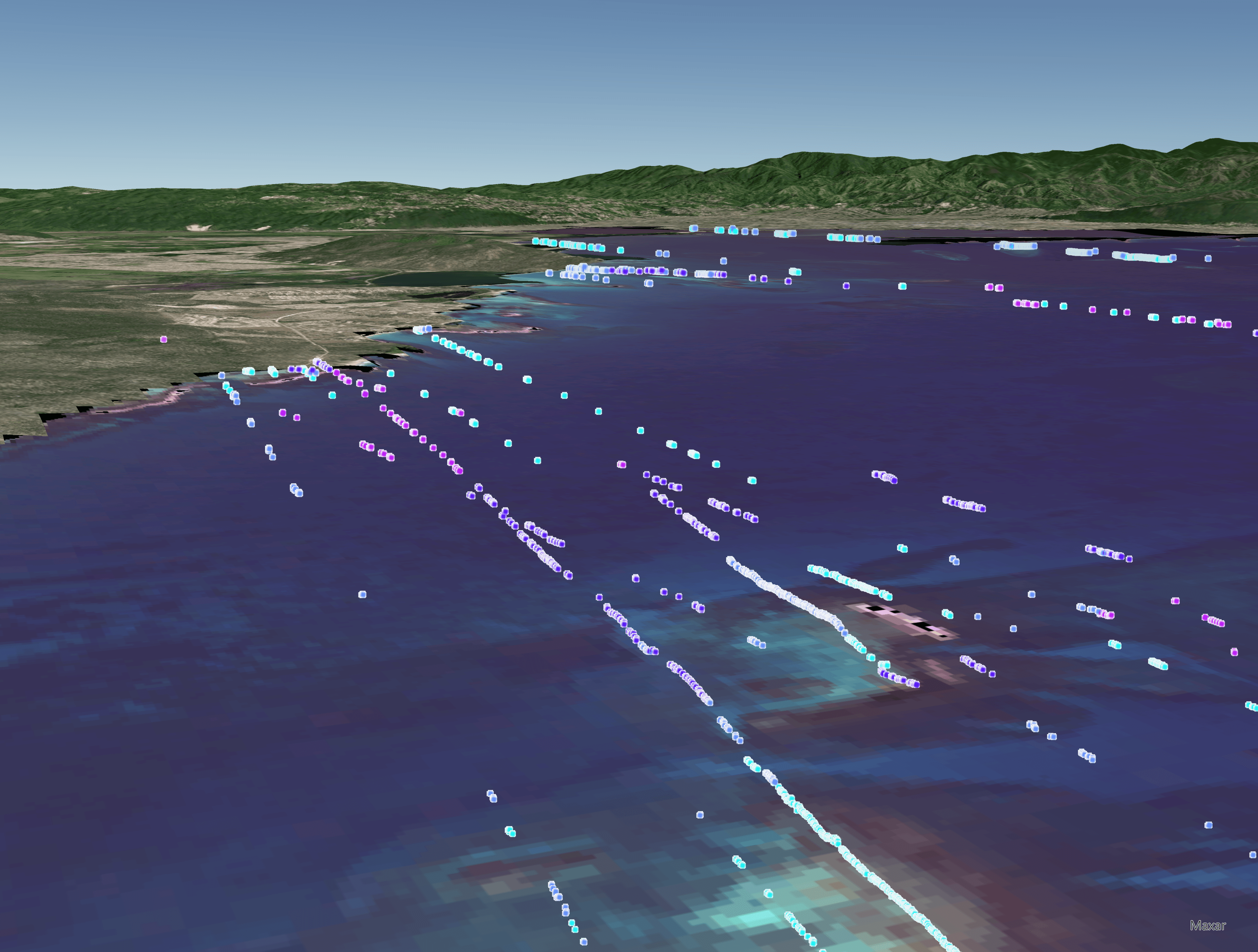
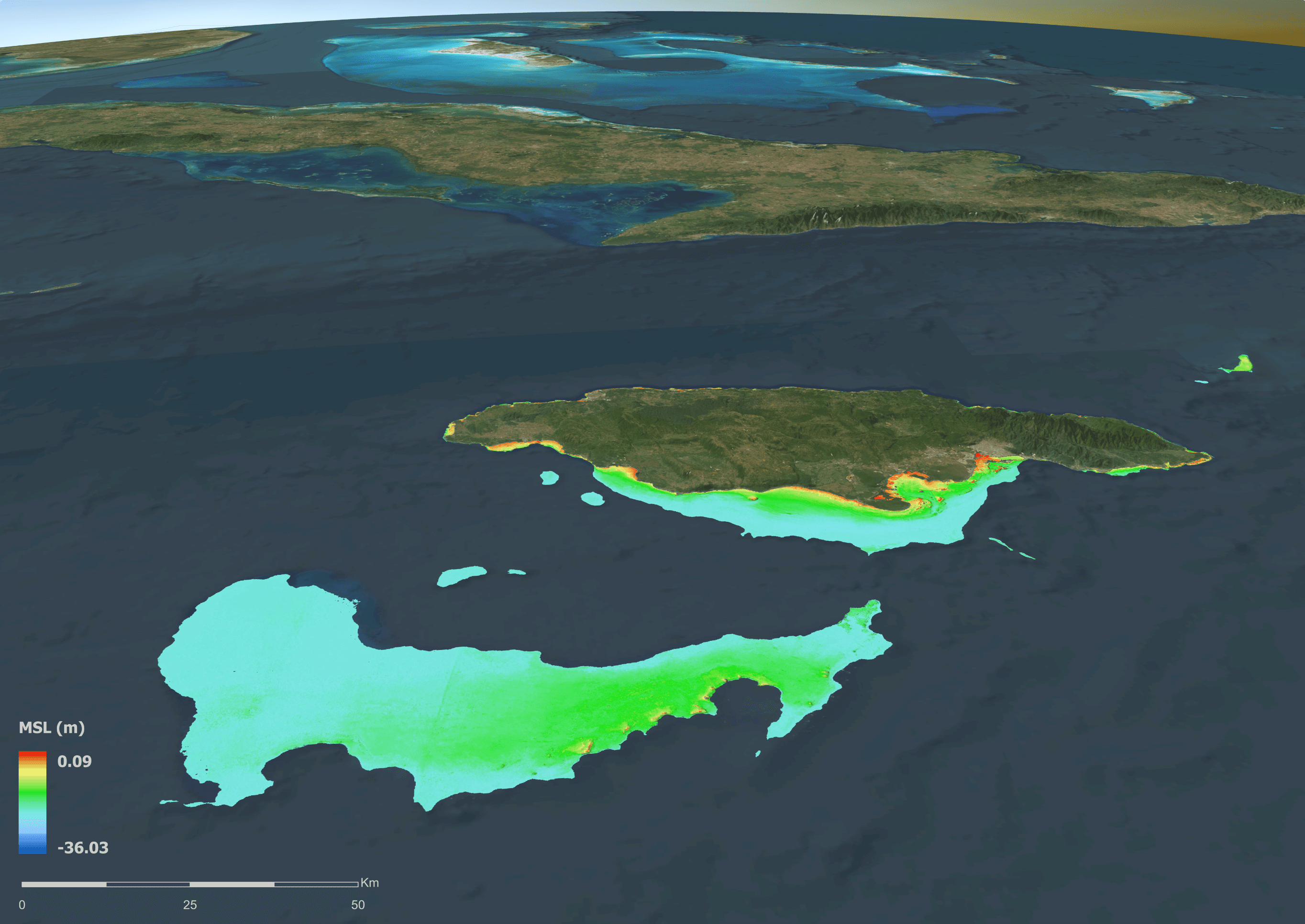
Participants learn specialized data fusion techniques to integrate high-resolution SDB with existing singlebeam, multibeam, or LiDAR surveys. By mastering vertical datum transformations and cross-platform calibration, attendees gain the technical proficiency to synchronize disparate data sources into a single, high-integrity Digital Elevation Model (DEM). This integrated approach is essential for high-accuracy hydrodynamic modeling, coastal engineering, and comprehensive maritime domain awareness.
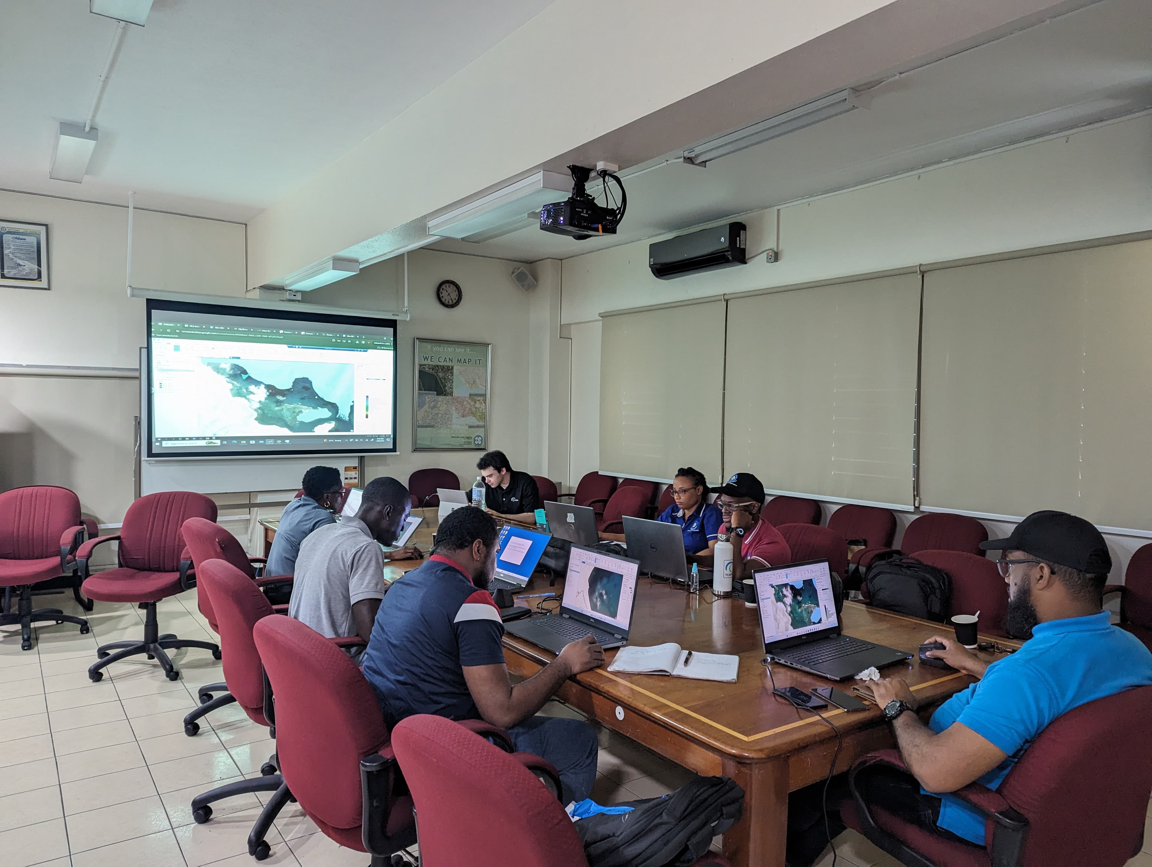
Harness the value of satellite derived mapping by learning to produce it internally and integrate with other data sources.
Participants will learn about the range of SDB inputs, selecting and applying the most appropriate source for the project.
Training materials; Data results; Demo software license; Certificate of Completion