TCarta provides high-precision satellite derived bathymetry (SDB) and earth observation data to empower resilience in the world's most dynamic coastal and inland water environments. From national security to environmental stewardship, TCarta turns complex data into actionable marine intelligence and accessible products.
Delivering rapid, precise, and scalable impact with unparalleled capabilities
Distributed expertise to answer questions in remote and inaccessible marine domains
Harnessing AI to augment human expertise for ocean & coastal analysis
Markets We Serve

Coastal charting, domain awareness, maritime intelligence, disaster relief
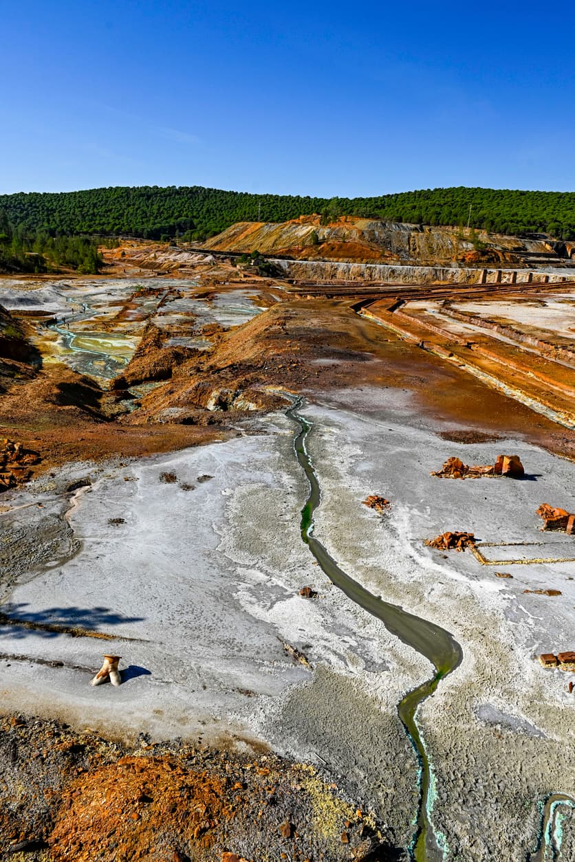
Site monitoring, volumetric calculations, pipeline and cable route planning
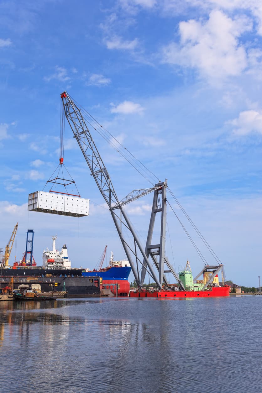
Port and marina development, dredging, site planning, change assessments
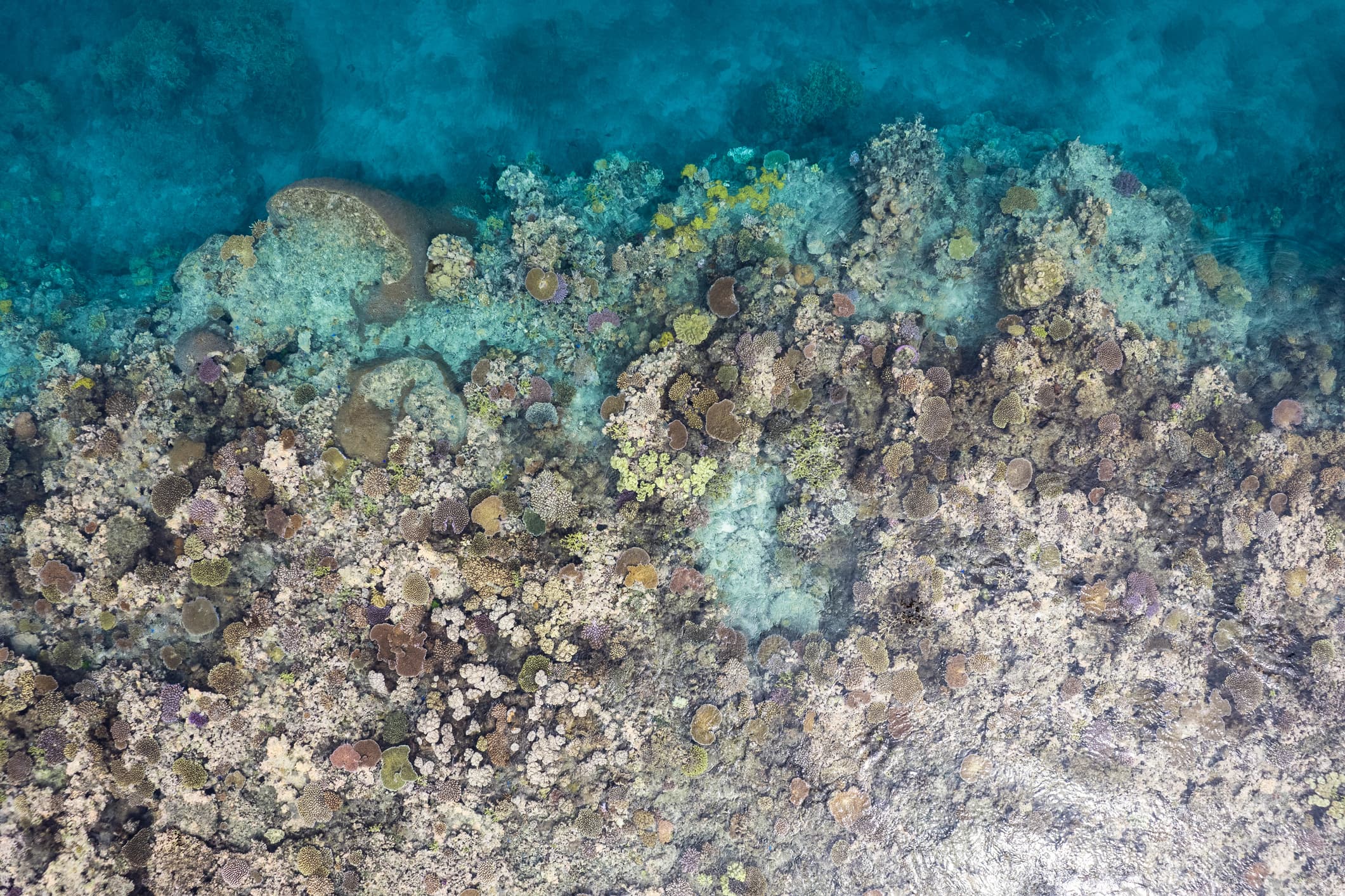
Blue carbon assessments, habitat classification, environmental monitoring and climate resilience

Enhanced chart display systems, feature extraction for safety of navigation
Coastal charting, domain awareness, maritime intelligence, disaster relief
Blue carbon assessments, habitat classification, environmental monitoring and climate resilience
Site monitoring, volumetric calculations, pipeline and cable route planning
Enhanced chart display systems, feature extraction for safety of navigation
Port and marina development, dredging, site planning, change assessments
Coastal charting, domain awareness, maritime intelligence, disaster relief
Site monitoring, volumetric calculations, pipeline and cable route planning
Port and marina development, dredging, site planning, change assessments
Blue carbon assessments, habitat classification, environmental monitoring and climate resilience
Enhanced chart display systems, feature extraction for safety of navigation
TCarta transforms satellite data into actionable marine intelligence by integrating high-quality data products, custom solution services, specialized Trident Tools software, and expert training programs within an integrated suite of hydrospatial solutions.
Data Products
TCarta’s data products provide high-resolution marine intelligence from space. This suite features satellite derived bathymetry (SDB), bathy model, seamless coastal modeling (topo-bathy), and marine basemaps.
Solution Services
Specializing in high-precision bathymetry, seafloor classification and environmental modeling, TCarta delivers flexible, accessible end-to-end data solutions designed to provide clarity in dynamic environments.
Training & Tools
TCarta’s Trident Tools and specialized training programs empower hydrospatial professionals to master these satellite mapping workflows. By combining ArcGIS Pro-based SDB software with expert-led training programs, TCarta empowers organizations to autonomously generate, validate, and manage high-precision marine intelligence, from bathymetry to environmental monitoring.


