Custom Solutions
Time Series: Site Monitoring & Change Detection
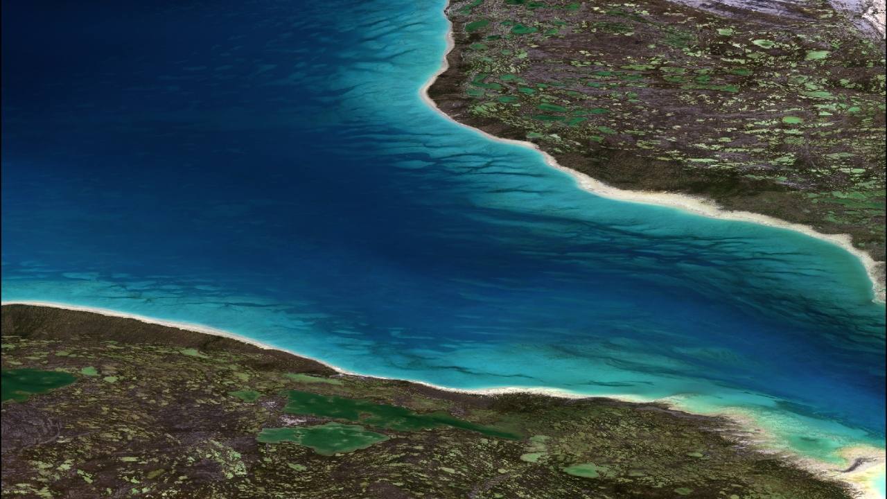
At TCarta, we can apply satellite-based remote sensing technologies to provide a time series dataset for sensitive or remote sites. Using these snapshots over time, clients can see change over time, including historical changes in shoreline, habitats and vegetation, and bathymetry. In some instances, this data needs to be updated and accessible on a daily, weekly or monthly basis; access can be enhanced via a custom dashboard for ease of analysis and further modeling. TCarta has considerable experience modeling environments pre- and post-events (e.g. hurricanes, storm surges, erosion events, dredging), which is one of the many advantages of satellite-based marine remote sensing.
Hybrid Data Products: Multi-Resolution Grids
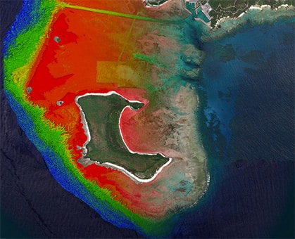
In many cases, full coverage of a project area or a full bathymetric picture are client priorities. While satellite-derived bathymetry (SDB) is an optimal solution for many project budgets and locations, it is often limited to <20m in depth and may include some data gaps due to environmental factors such as persistent turbidity and cloud cover. In cases where the full and big picture are needed, TCarta’s Global Bathymetry product is integrated with SDB to provide a seamless gridded surface of the whole area of interest where satellite-derived bathymetry may only cover parts. This ensures a complete marine geospatial data picture through integration of multiple data sources.
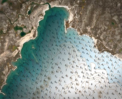
Updating Nautical Charts in Remote Locations
In remote locations, such as the Canadian Arctic or island nations in South Pacific, the best available data may be an official nautical chart produced 100+ years ago. Satellite-Derived Bathymetry is an excellent solution for updating these charts without the expense, risk, or time required to deploy traditional boat or airborne surveys. Organizations such as the National Oceanic and Atmospheric Administration (NOAA), Canadian Hydrographic Services (CHS) and the UK Hydrographic Organization (UKHO) have employed SDB technology to update charts & updated safety of navigation resources or notice to mariners. TCarta has experience providing SDB to these hydrographic entities for the sake of providing updated bathymetric data in remote areas.
