Case Studies

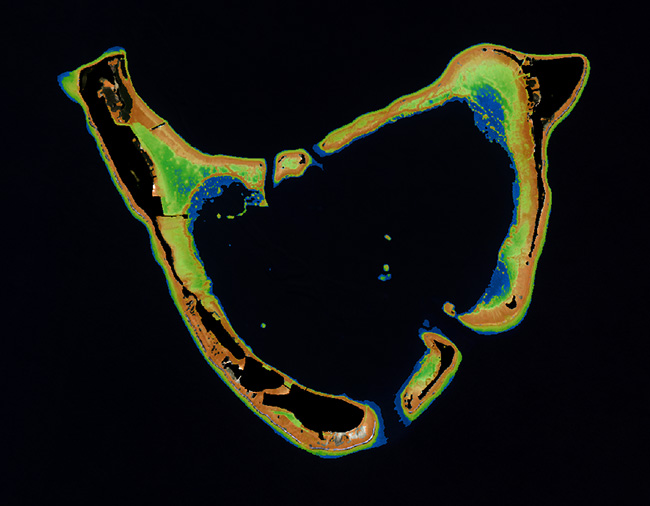
Technology Demonstration Project: Large-Scale Satellite Derived Bathymetry Mapping
Seabed 2030, a collaborative project between the Nippon Foundation of Japan & the General Bathymetric Chart of the Oceans (GEBCO) aiming to produce the definitive map of the world ocean floor by 2030, needed a lot of data, and they needed it within budget.

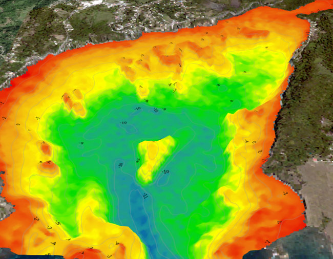
Hydrographic Office Technology Integration
The National Land Agency (NLA) of Jamaica, responsible for carrying out hydrographic surveys of Jamaica’s harbors and territorial waters, sought to improve coverage of their survey areas, while also prioritizing & improving safety and efficiency of their single-beam surveys.

Space-based Hydrospatial Solutions for Engineering Projects in the Littoral Zone
A testament to the power of TCarta’s data work for the entire engineering industry, this case study illustrates how engineering companies globally benefit from TCarta’s products, which enable them to model the seafloor and other marine environmental conditions for project planning & risk management.

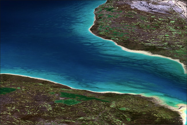
Updating Information on Nautical Charts in Baffin Island, Canada
Canada is home to 60% of the world’s shoreline, and much of that land is very rugged terrain, either remote or very difficult to access. The Canadian Hydrographic Service (CHS) is tasked with providing current & standardized hydrospatial information for the area, a job ultimately made easier by partnering with TCarta and our satellite-derived bathymetry capabilities.

