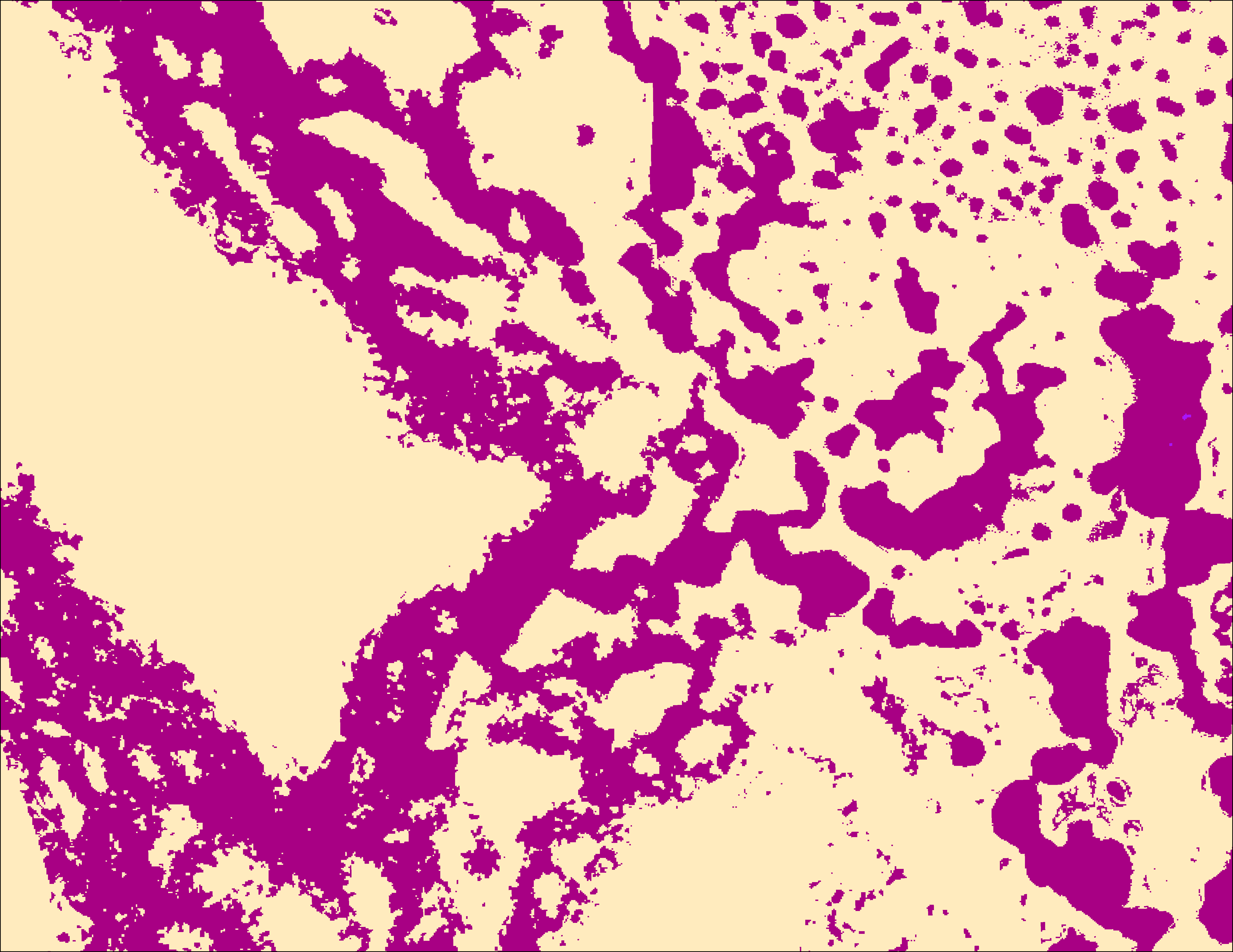
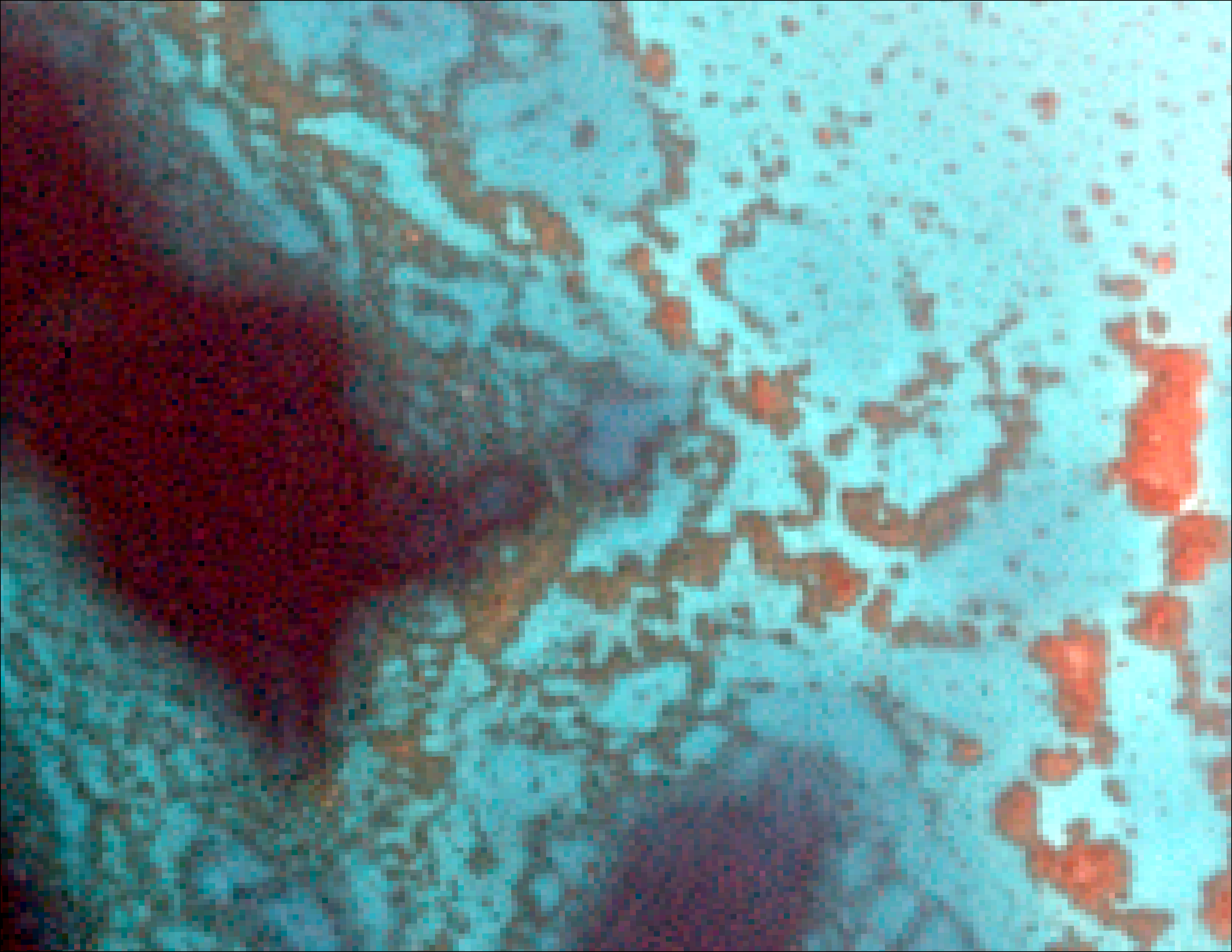
Blue Carbon Mapping
This product quantifies carbon sequestration potential for key habitats including seagrass, mangroves, and salt marshes in support of nature-based climate solutions and carbon credit verification. The Blue Carbon Mapping product leverages a combination of hyperspectral and multispectral satellites and synthetic aperture radar to provide detailed information on habitat extent, density, composition and health.
Up-to date, scalable, carbon sequestration metrics derived from spaceborne sensors provide an unparalleled tool for Blue Carbon stakeholders.
SAR, multispectral satellite imagery, hyperspectral imagery, ICESat-2 Bathymetry, available in situ measurements
10m, 3m, 2m, and sub-meter models in Esri File Geodatabase; satellite imagery RGB (GeoTIFF), Google Earth KMZ project map, GeoPackage detailed descriptive survey report