ICESat-2 Soundings
TCarta’s continuously-updated catalog of high-accuracy seafloor elevation points from space-based LiDAR provide global bathymetric validation and an alternative source to multispectral imagery. A proprietary deep learning model applied to NASA’s ICESat-2 product extracts precise photon-level bathymetry; these data points serve as an independent calibration and validation source for satellite derived bathymetry (SDB) and can often reach depths that exceed the limits of traditional multispectral imagery in a region. The ICESat-2 Soundings product pairs nicely with Trident Tools licensing.
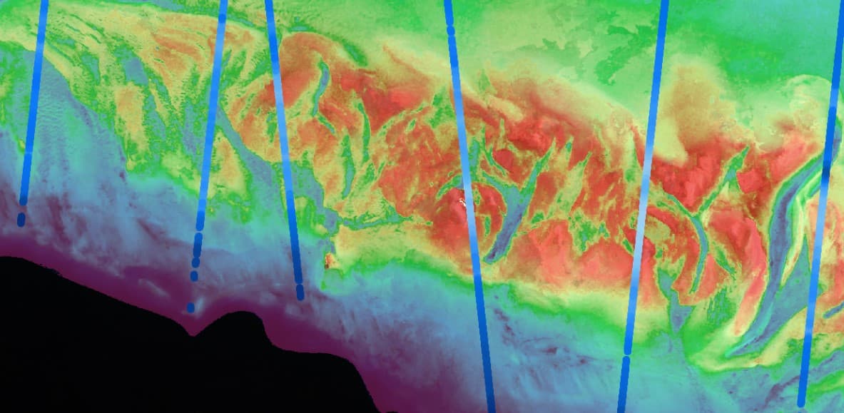
ICESat-2 bathymetry is continuously updated and provides an additional source for global coastal mapping from space.
NASA’s ICESat-2 ATL23 ATL24
Fully attributed point bathymetric data in featureclass, shapefile, LAS/ LAZ, GeoParquet, GeoJSON, or ascii file formats