Raster Nautical Charts
Official, digital nautical charts and Electronic Navigational Chart (ENC) data sourced directly from IHO Member States, including British Admiralty offer a digitized, georeferenced version of traditional paper charts, preserving all original cartographic detail, soundings, and navigational aids for use in GIS and project management environments. These charts serve as a vital reference layer for project planning and situational awareness, providing a familiar and standardized visual context for complex marine operations. .
Note: These chart products are provided for geospatial analysis, project planning, and cartographic visualization only. They are not for navigation.
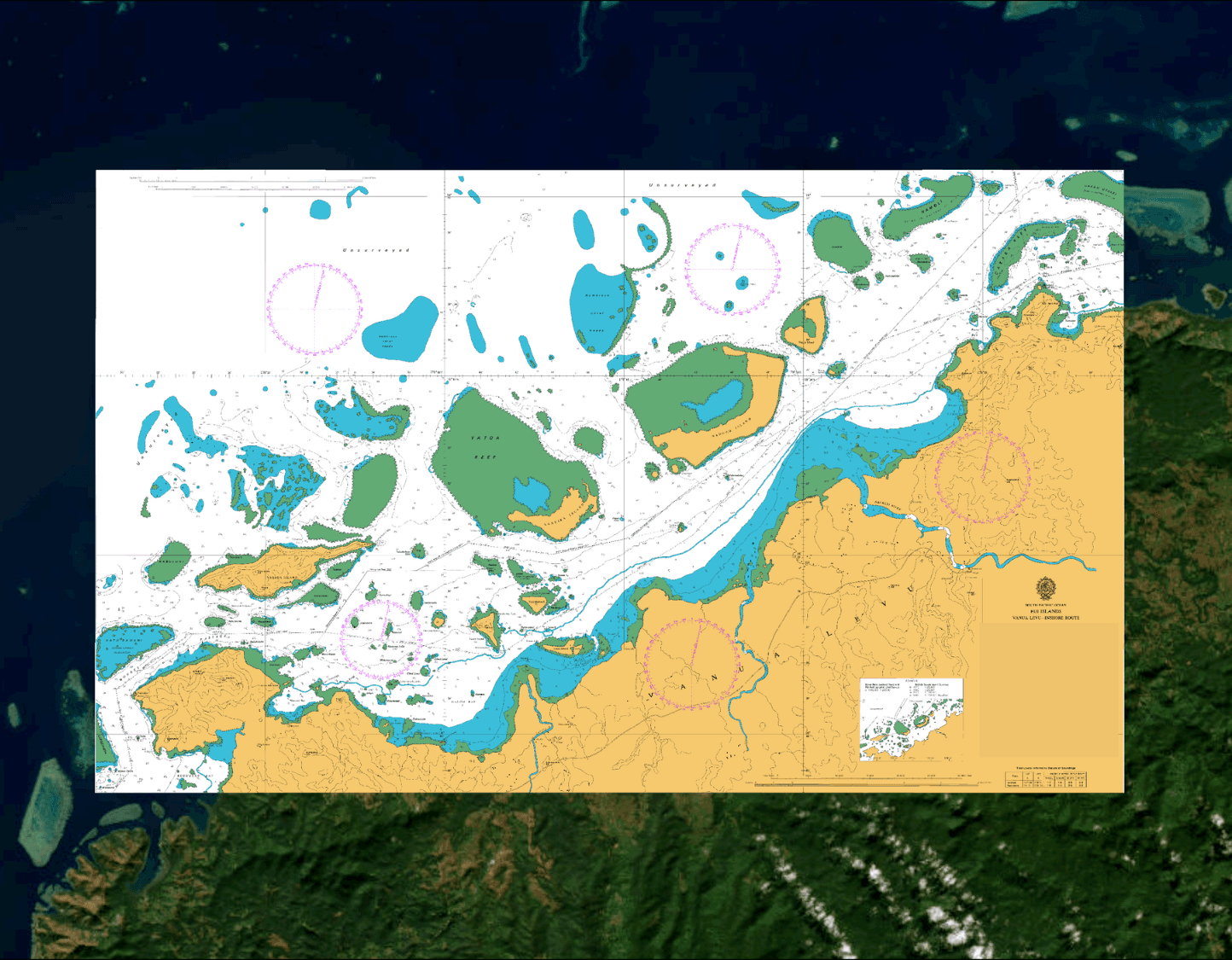
Official nautical charts and ENCs delivered to your desktop in an easy-to-use georeferenced, digital format.
British Admiralty nautical charts and ENC
Georeferenced raster or pdf