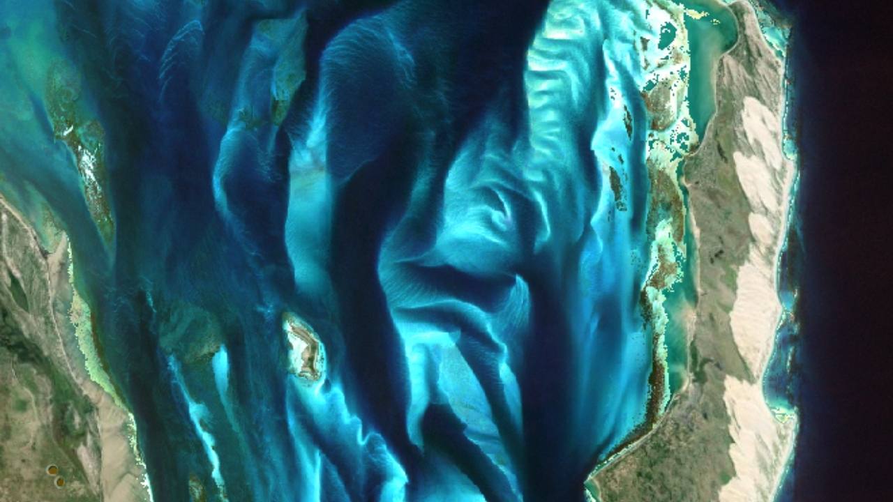
• Skip to primary navigation
  • Skip to main content
TCarta Satellite-Based Hydrospatial Tech

TCarta Satellite-Based Hydrospatial Tech

We are your contact for Marine Remote Sensing and Hydrospatial data services.

  • Who We Are
    • About
    • Partnerships & Affiliations
  • What We Do
    • What is Hydrospatial?
    • What Do We Measure?
    • How to Work with TCarta
  • Products & Services
    • Products
      • Global Bathymetry GIS
      • Satellite-Derived Bathymetry
      • Seafloor Classification
      • Newsletter Archive
      • Marine Basemaps
    • Services
      • Blue Carbon Mapping
      • Synthetic Aperture Radar (SAR)
      • Satellite-Derived Water Quality
      • Trident Tools Satellite-Derived Bathymetry Software
    • Custom Solutions
  • Case Studies
    • Space-based Hydrospatial Solutions for Engineering Projects in the Littoral Zone
    • Technology Demonstration Project: Large-Scale Satellite Derived Bathymetry Mapping
    • Hydrographic Office Technology Integration
    • Updating Information on Nautical Charts in Baffin Island, Canada
  • News & Press
    • Newsroom
    • Blogs
  • Product Viewer
  • Contact
  • Show Search
Hide Search

What We Do

As a global bathymetry provider, TCarta offers several solutions to meet a wide variety of needs. For organizations that need quality data quickly and affordably, we have off-the-shelf data available for various locations around the world. If you need a customized solution and long-term support, we are able to provide both satellite derived bathymetry and global bathymetry products and can create a solution that works best for your project.

What is hydrospatial?

What we measure

How to work with TCarta

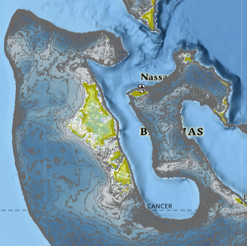
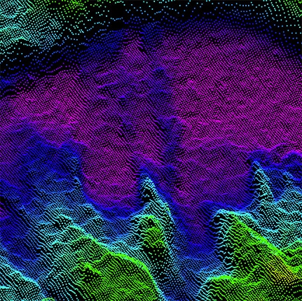
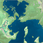
Our solutions are developed for use in coastal engineering, hydrodynamic modeling, coastal and environmental monitoring, and more. Our clients have used our data to ensure that water landings are safe for humanitarian efforts, have closely monitored marine and coastal areas to aid in protecting ecosystems, and have provided state of the art seafloor change detection. Organizations are able to move confidently and efficiently once the data is analyzed and applied.

Scope Your Project

Subscribe to our newsletter


Loading

TCarta Marine LLC

1015 Federal Boulevard
Denver, CO 80204, USA

+1 (303) 284-6144

TCarta Caribe LLC

26 Haining Road
New Kingston, Jamaica

+1 (876) 817-8567

TCarta Canada Services Ltd.

1771 Robson Street - 1508
Vancouver, BC, V6G 3B7 CA

  • What We Do
  • Legal
  • Contact
  • LinkedIn
  • Instagram
  • Facebook
  • Twitter