SAR for coastal monitoring
SAR provides an effective tool for tracking environmental change in coastal areas
Monitoring changes to shorelines with SAR
As climate change accelerates and global temperatures continue to climb, Arctic ice melts are causing sea levels to rise, eroding coastal environments. Accurate, up-to-date mapping of the world’s shorelines and intertidal zones is increasingly vital for protecting inhabitants in these areas and guiding mitigation efforts.
Once limited to military applications, synthetic aperture radar (SAR) is now readily available for commercial use, providing organizations across industries with access to high-resolution coastal mapping imagery and data for environmental monitoring, resilience planning, and safer navigation.
Capturing key data at any time, in any weather
Remote sensing techniques that collect data with optical sensors—satellite derived bathymetry (SDB), for example—function by recording the reflection of sunlight off the earth’s surface. By design, their use is limited to daytime hours and relatively clear weather conditions. SAR, however, uses active microwave sensors that penetrate darkness and cloud cover, offering a means of capturing high-resolution images at any time and in virtually any weather.
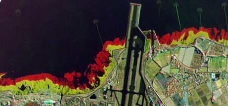
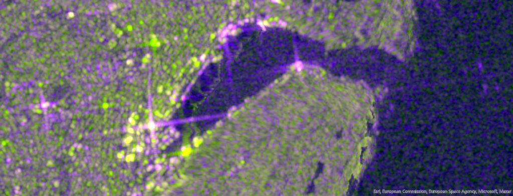
SAR can see through the infamous rain, drizzle and fog (RDF) of St. John’s, Newfoundland and Labrador
Sentinel 2 – 3 May 2024
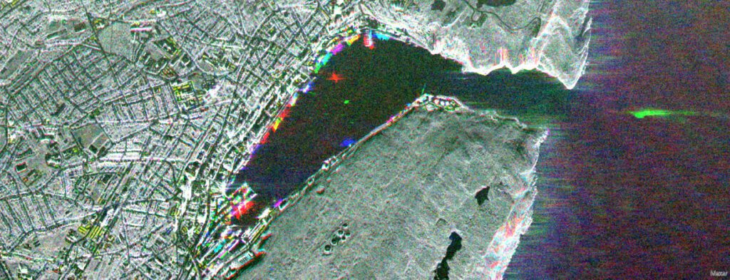
Capella SAR temporal stack- 5, 8, 10 May 2024
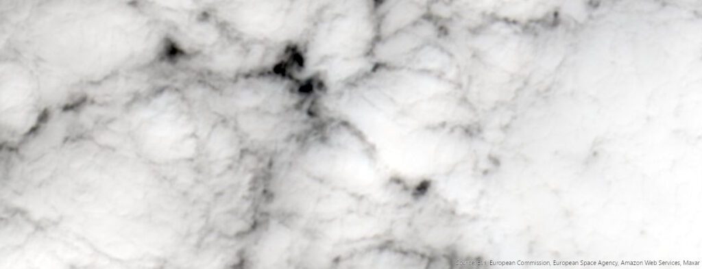
Sentinel 2 – 5 May 2024
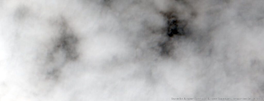
Sentinel 2 – 8 May 2024
Environmental organizations, government agencies, shipping operations, and development companies can use SAR remote sensing technology to:
Keep navigational charts up to date and track shoreline changes
By providing high-resolution shoreline imagery, SAR allows organizations to update navigational charts, improving safety in coastal areas. And by compiling SAR images to view changes over time, they can track shoreline shifts and clearly identify areas of material erosion or accretion.
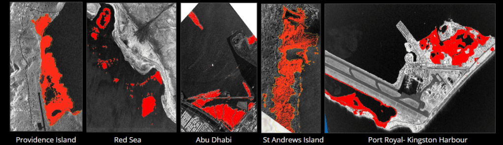
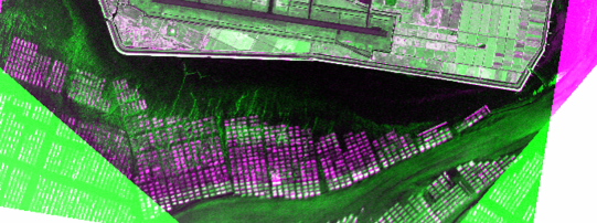
Characterize and monitor intertidal zones
An intertidal zone—the area between the lowest and the highest tide on a shoreline—is a dynamic ecosystem supporting a vast array of sea life. SAR clearly demarcates these coastline belts to support environmental monitoring, preservation efforts, and sustainable development. Plus, SAR can detect and classify various intertidal components (mud, wet sand, or rubble, for example) to provide insight into coastal composition.
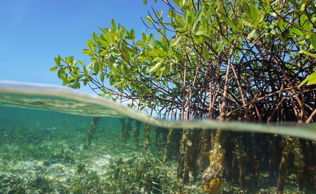
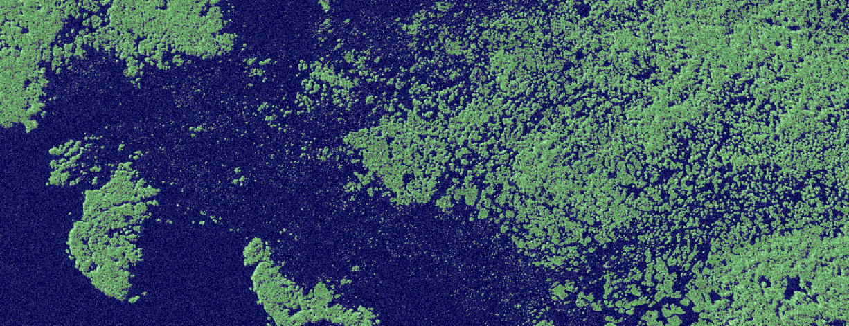
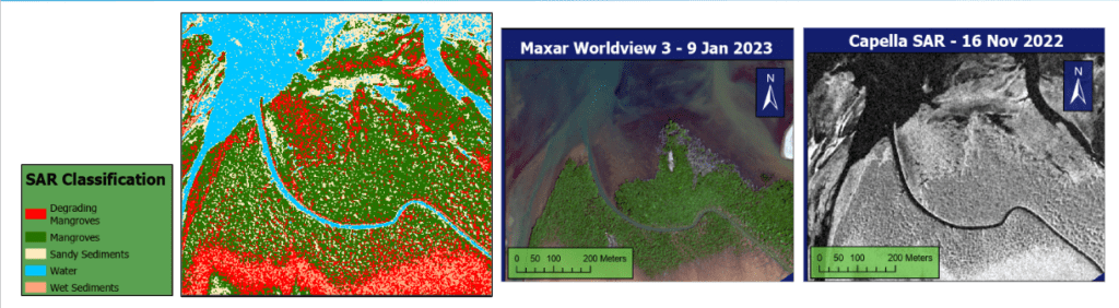
Monitor the health of mangrove forests
Sea-level rise and extreme weather events threaten the health of mangroves, the coastal forests of trees and shrubs that provide a habitat for diverse wildlife and act as sinks for blue carbon. With SAR imagery, organizations can track the condition of these ecosystems on an ongoing basis.
Mangroves can be analyzed consistently across the globe and in any climate
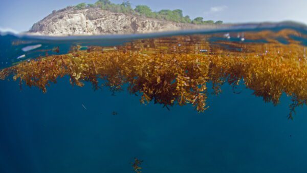
Identify sargassum and track its drift
When sargassum—or brown seaweed—encroaches on coastal areas, it can smother wildlife, impact public health, and clog intake pipes for critical infrastructure, including desalination plants that produce drinking water. SAR allows organizations to clearly identify masses of sargassum and gauge the speed and direction of their drift.
TCarta SAR Commercial Partnership
Intertidal Zone Mapping: High/Low water lines, classification, object detection, change detection
Blue Carbon: Mangrove mapping (extent, health, species)
Teaming with Capella Space for high-resolution SAR
With Capella, TCarta can:
Deliver SAR at a resolution 20 times higher than the standard
Most global datasets provide SAR at a spatial resolution of 10 meters or greater. Capella satellites capture images at a resolution of 50 centimeters, allowing users to more accurately track new growth and monitor changes over time.

Support near real-time monitoring
Capella satellites frequently revisit the same coastal areas, providing near real-time tracking to assess seasonal changes and supplement the measurement, reporting, and verification (MRV) of blue carbon assets.
Nori farming
Perform intertidal mapping easily and precisely
In coastal areas, coordinating image capture with high-tide and low-tide periods can be challenging. With an automated satellite tasking system that synchronizes SAR image collection with tidal fluctuations, Capella technology enables users to easily map and monitor intertidal zones.
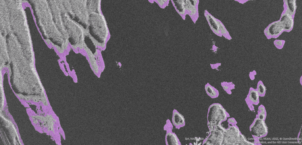
Intertidal Zone Mapping with Capella SAR
Tracking changing conditions in Arctic regions
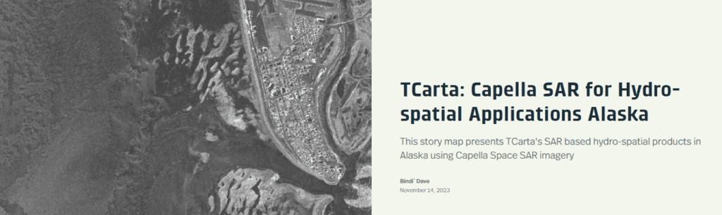
In the Arctic, rapidly rising temperatures are thawing permafrost, melting sea ice, and altering ecosystems. For communities spread along the Alaskan coast, understanding and tracking these changes is critical. As part of a National Oceanic and Atmospheric Administration Small Business Innovation Research (NOAA SBIR) grant, TCarta applied processing and extraction workflows to high-resolution Capella SAR imagery captured in the region. To find out what we learned, view our story map below.
Integrate SAR with high resolution multispectral imagery
Combining SAR technology with multispectral or hyperspectral satellite imagery provides a powerful combination of sensing capabilities. Using multiple sensors allows for enhanced classification capabilities and validation of results. With high resolution commercial SAR and multispectral satellite imagery the need for field work and cost of monitoring coastal sites is greatly reduced.
For more information, to start a discussion or request a quotation
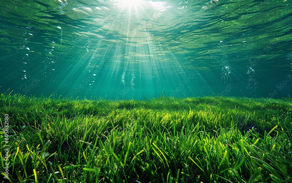
Seagrass
- Occupies < 0.2% of ocean floor
- Responsible for 10% of organic carbon buried in ocean
- Seagrasses are being lost at a rate of 1.5% per year and have lost approximately 30% of historical global coverage
Mangroves
- Carbon emissions from mangrove deforestation account for up to 10% of emissions from deforestation globally, despite covering just 0.7% of land coverage.
- Are being lost at a rate of 2% each year