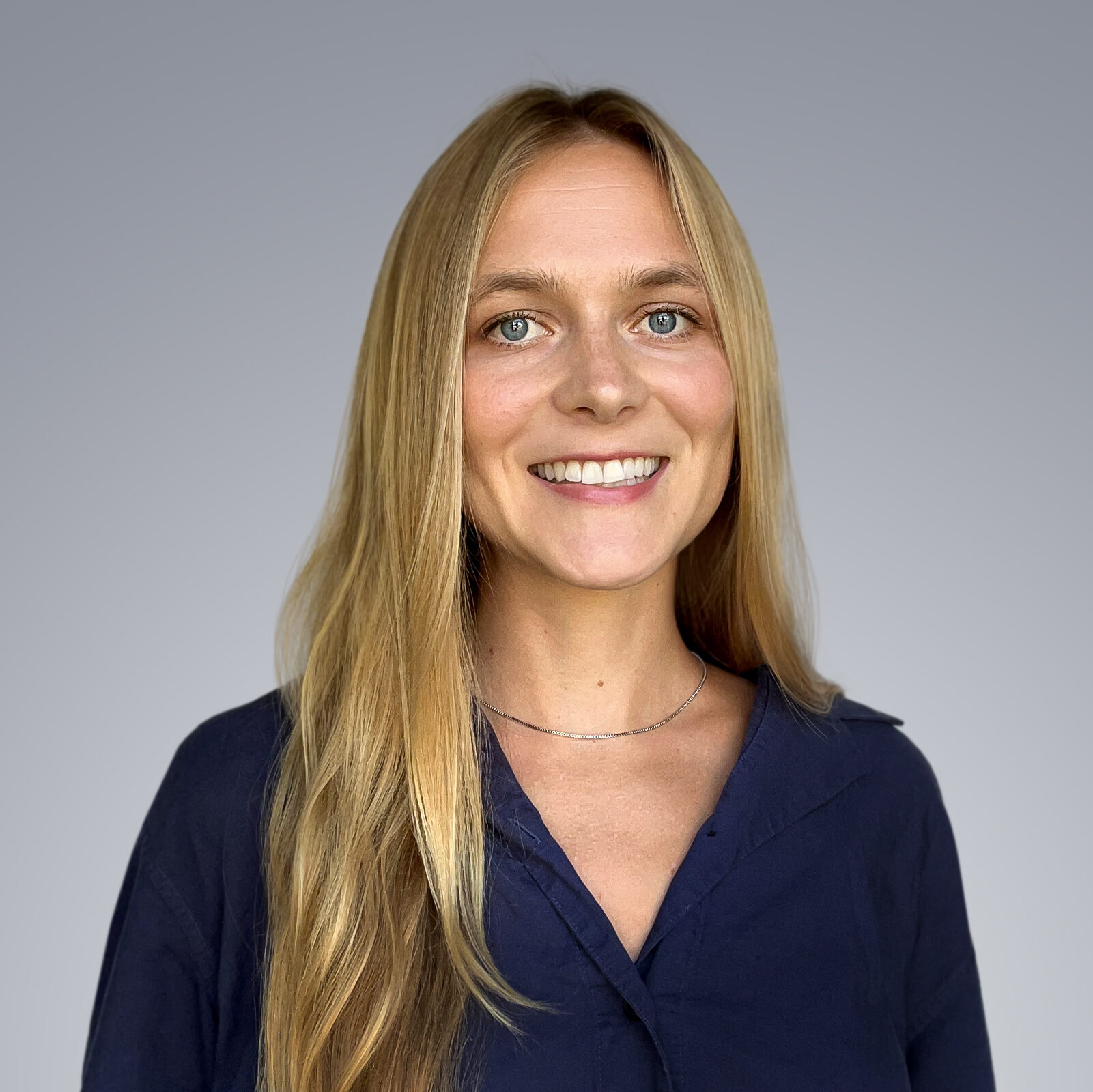

Emily French
Remote Sensing Analyst
Location: Los Angeles, CA
Biography
Emily has worked on a wide range of remote sensing and geospatial projects including forest change monitoring with SAR data, conservation impact assessment, stormwater design, pollutant load monitoring, and urban planning. She first fell in love with hydrospatial research while completing her master’s degree in Earth and Environment at Boston University. Emily also holds a B.A. in geography from Middlebury College and is passionate about applied science, cartographic design, and interdisciplinary research. At TCarta, Emily is focused on improving benthic habitat mapping and water quality monitoring workflows.
When she’s not at her computer, Emily enjoys swimming, skiing, gardening, and playing the piano.
