Partnerships & Affiliations
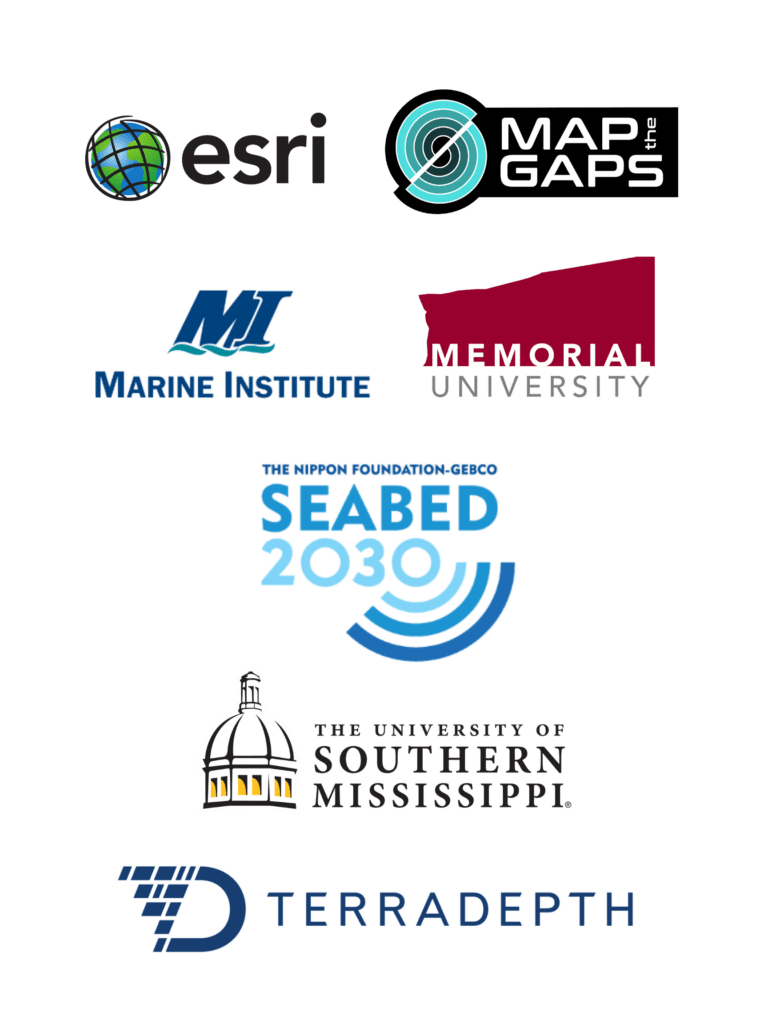
Partnerships
Esri – TCarta is an Esri Silver Partner and an “Esri Shop.” Our software, Trident Tools, is deployed as a geoprocessing toolbox Esri’s ArcPro, and our team of hydrospatial professionals use Maritime Tools, StoryMaps, AGOL and Enterprise, among other Esri products.
Map the Gaps – Satellite-derived technologies are used to map gaps in global bathymetry. TCarta has contributed to Map the Gap events and supports the group’s mission.
Fisheries & Marine Institute of Memorial University of Newfoundland – TCarta has a MOU with Marine Institute to provide SDB tools and training materials for the remote sensing and hydrographic curricula, and a first-of-its-kind internship program at M.I. in summer 2023.
Seabed 2030 – TCarta has been very active under the MOU with Seabed 2030, and instrumental in providing significant data contributions to the effort and has also worked with multiple International HO’s to build capacity to produce and contribute their own SDB to Seabed.
University of Southern Mississippi – TCarta has a standard SDB course offering at the Stennis Space Center on the USM campus and has instructed CAT A Hydrographic students in remote sensing and SDB concepts.
Terradepth – TCarta served as a beta tester of Terradepth and now deploys data in the platform as a way to visualize and deliver products.
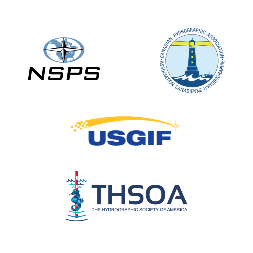
Affiliations
TCarta is an active member of the following organizations, most often as attendees and presenters in major industry events, to include:
