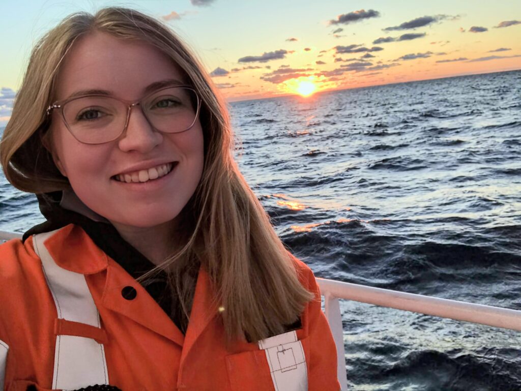
Michaela Barnes is the newest member of TCarta’s hydrospatial team. She joined us earlier this month with a nearly two-week stint in the Denver office, though she will typically be joining us remotely from her home in St. John’s. Michaela jumped fully into production in her first days here, demonstrating her experience and background in data production, QAQC, and team management. Working on two project deadlines in her first weeks at TCarta was an ideal opportunity for TCarta to understand Michaela’s skills and for her to learn about the Company.
As we move towards Michaela’s second month at TCarta, she will be building her remote sensing muscles with Satellite Derived Bathymetry production, post-processing, and data analysis methods and tools. And, TCarta will certainly continue to integrate and learn from Michaela’s past experience, as well! I invite you to learn more about Michaela from her responses to our Staff Q&A:
Q: When you were a kid, what did you want to be when you grew up?
A: A teacher.
Q: How do you describe your professional role to people who don’t know anything about it?
A: I map the ocean floor using satellite images.
Q: Tell me something about how you came to work at TCarta?
A: After working on boats for 4 years, I decided to move into the space-based approach of ocean mapping.
Q: How did you become interested in this field?
A: I became interested in ocean technology by competing in the MATE ROV competition in secondary school.
Q: What do you love about your work?
A: I love peeling back the layer of ocean to view what’s hiding underneath. It’s incredible to think about the mountain ranges, valleys, and other features that are never seen by human eyes!
Q: What industry or subject-matter resource or publication do you recommend?
A: The Journal of Ocean Technology
Q: What’s your current favorite hobby / past-time?
A: Spin Class!
Q: What country or region do you hope to explore next in travel?
A: Alaska
Q: Who inspires you or is a professional role model of yours?
A: Maria Tharp
Previous Hydrospatialist Spotlight: Chris Ilori
Next Hydrospatialist Spotlight: Audrey Rager
