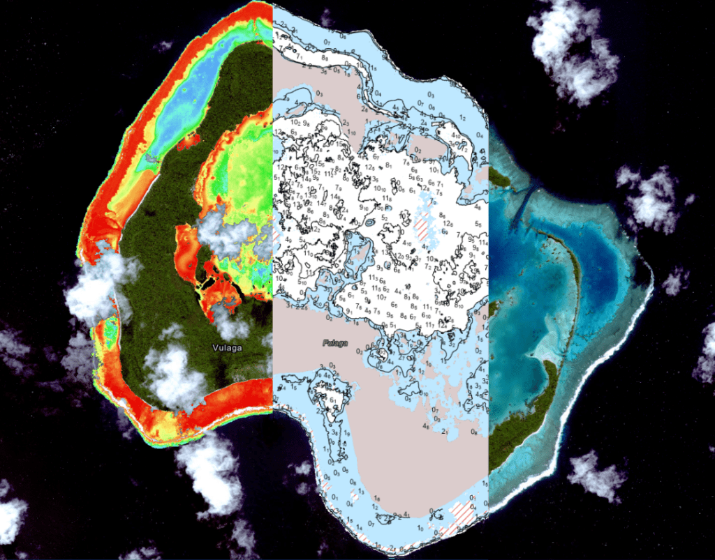
Domestically and internationally, the turn of events is mercurial, unpredictable at best. Government agencies, markets and industries are compelled to change, and established professional pathways are currently obscured or threatened. Decision-makers have reason to hesitate and resources are consequently delayed. The maritime industry and hydrographic and geospatial professions are not immune. Yet, coastal awareness and hydrographic information are relentlessly relevant and in-need of curation and maintenance.
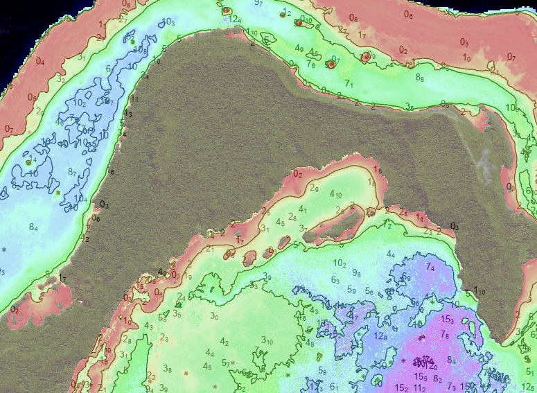
Now more than ever, satellite based solutions and capabilities are essential for the safe-keeping of nations and environments and for the evolution of hydrography and hydrographers.
Esteemed universities and forward-leaning international hydrographic offices uptake satellite mapping as an additional tool in a hydrographers’ toolbelt, sustaining young professionals’ drive to stay at the front of modern technology. The suite of satellite mapping technologies are deployed globally to generate insights for shallow water environments and to put actionable, modern data into the hands of those who need it for the sake of environmental management, national security and/or maritime safety.
Satellite derived mapping leverages multispectral satellite imagery for information on shallow water environments including depth, bottom type, tides, and shoreline, to name a few. For years, remote sensing students have deployed the GEBCO cookbook or other open source approaches to achieve results in shallow water environments. With a satellite image and the right tools, anyone with a basic understanding of remote sensing and GIS can achieve a result, the first building block of producing actionable, reliable bathymetric information from satellites.
Traditional surveys are expensive, logistically complex, and often out of reach for many nations. Satellite methods deliver usable, accurate data at a fraction of the cost and time, expanding accessibility to critical hydrographic information. This enables governments to map coastlines, support disaster resilience, and evolve their Blue Economies with better data, fostering sustainable development.
With experience and training, an analyst from anywhere in the world can process a high-resolution satellite image collected yesterday over Oman’s coast, or a bay in Alaska, to deliver usable bathymetric information in just a few hours. Tomorrow’s mission can be planned today with modern hydrographic information in focus.
With experience and training, in a matter of days, an analyst can process a satellite image from 10 years ago, 5 years ago, and one from this year to quantify the presence of seagrass along the coast of their home country. How has the nation’s environmental asset of seagrass fared over the last 10 years? Satellite mapping this seagrass can effectively quantify and visualize these initiatives. Environmental management priorities and plans can be informed by desktop workflows and products without deployment of costly planning and survey.

When equipped with the proper tools and expertise, an analyst in a small hydrographic office can deploy satellite mapping ahead of a SBES or MBES collection with particular attention to shoal and no-go areas to ensure safety of equipment and efficiency of the survey. Once home from survey, the two data sets (satellite-based and vessel-based) can be used to improve each other. Optimal bathymetric information is achieved by technology integration.
Satellite-derived hydrography is beneficial for reconnaissance and planning, infilling data gaps or mapping the ‘white ribbon’. It’s fast, repeatable, and scalable, environmentally-friendly, and more affordable than traditional surveys. It is not a replacement for traditional methods but a vital tool in today’s world where geographic hotspots are remote and often contested and time is of the essence. The modern hydrographer’s toolbox should include satellite-based mapping in order to fill gaps in understanding, answer questions quickly, and advance programs regardless of budget constraints.
Enabling the Hydrographers of Today and Tomorrow
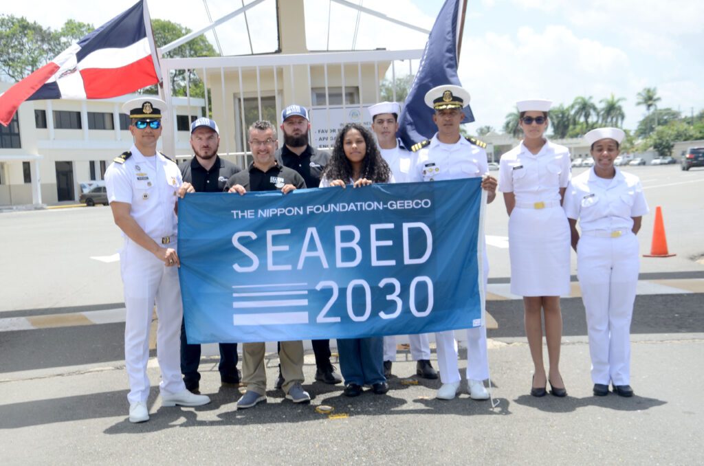
TCarta has delivered SDB trainings to international university students and hydrographic offices including the Mexican Navy, Jamaican National Land Agency, University of Southern Mississippi Cat A Program, Dominican Republic Navy, Marine and Fisheries Institute of University of Newfoundland, the Fiji Hydrographic Office, University of Southern Florida and GEBCO Scholars of University of New Hampshire’s Center of Coastal and Ocean Mapping.
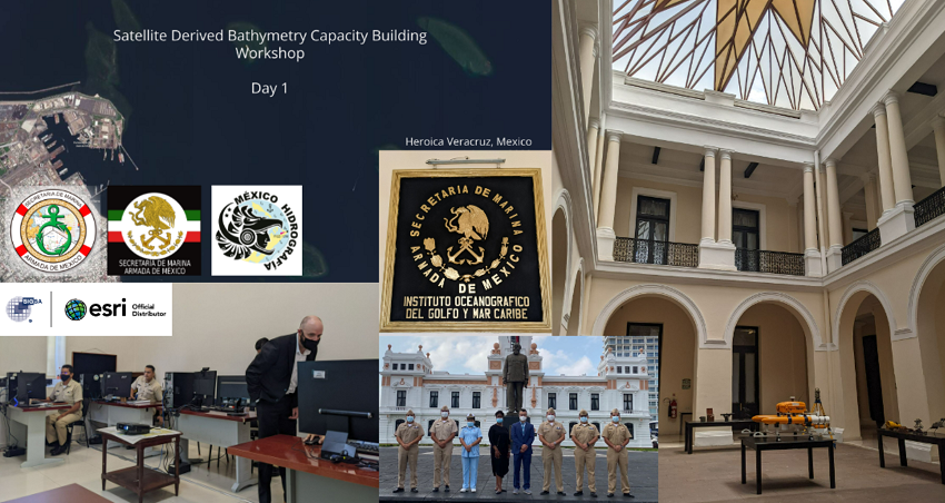
Future and current professionals benefit from customized programs that enable agencies to create and manage their own bathymetric datasets. This is possible with the support from partners like GEBCO, Nippon Foundation, and Seabed 2030. Internship programs, such as the program TCarta co-runs with Marine Institute and Seabed 2030 (now in its 3rd year), provide hands-on experience in space-based coastal mapping, and real-world training with SDB tools and workflows ensures practitioners gain the skills needed for modern hydrographic work.
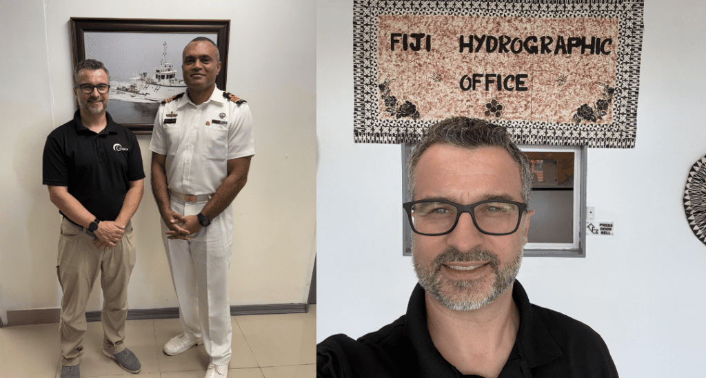
At TCarta, we understand that no two hydrographic teams are the same, so we tailor our training to meet your operational goals and technical needs. Our SDB course can range from 2-days to 2-weeks, and can be either an in-person or virtual program that walks participants through the workflow: from satellite image preprocessing to machine learning and radiative transfer techniques. Trainees gain fluency with our Trident Tools ArcGIS Pro SDB Toolbox, and leave with validated datasets for their own Area of Interest.
Our workshops are fully customizable, and can include topics from SAR-based shoreline mapping, blue carbon assessments, and GIS for coastal applications —at skill levels ranging from introductory to advanced. Each program includes post-training technical support, temporary software licenses, and a certificate of completion.
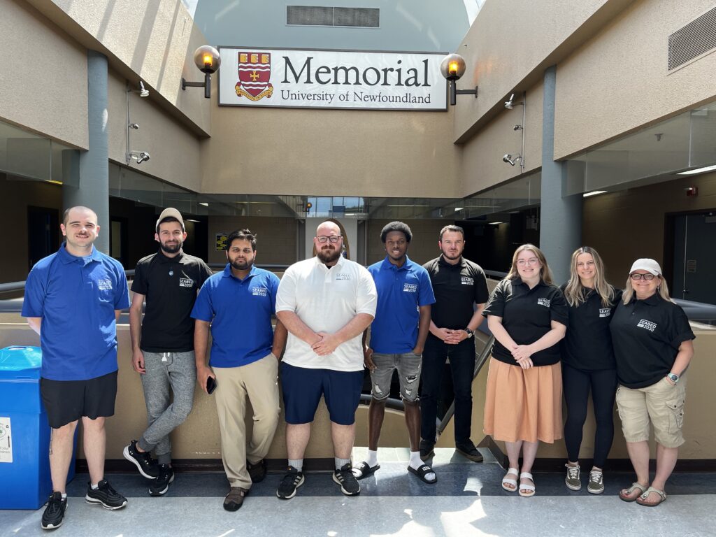
We welcome the opportunity to support national hydrographic offices through hands-on training in space-based mapping technologies, including Satellite-Derived Bathymetry and coastal monitoring tools. Reach out to TCarta to help build your team’s capacity and advance your national coastal mapping goals, contributing to a more informed and resilient maritime future.

