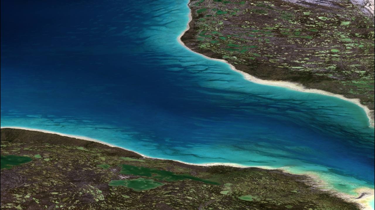
Global Bathymetry GIS
An industry leader in providing customized bathymetry solutions, TCarta offers data packages designed to meet individual client needs and requirements. Employed in a wide range of applications, our data products stream directly into GIS and modeling workflows, requiring minimal effort from end users.
OUR SOURCE DATA
Our data are derived from digital nautical charts, single- and multi-beam survey data, liDAR, multi-sensor satellite-derived bathymetry (SDB), altimetry data, and seismic survey derived depths, among other data sources. In addition to a digital bathymetry grid, the 90- and 30-meter GIS product includes our variable scale shoreline data, digitized from Landsat and Sentinel-2 imagery.
THE PROCESS
TCarta’s gridding algorithms apply weighting schemes to each data type based on specific variables, including source, resolution and currency. The resulting output is a continuous interpolated bathymetry product that represents the best available global bathymetric GIS data.

