• Skip to primary navigation
  • Skip to main content
TCarta Satellite-Based Hydrospatial Tech

TCarta Satellite-Based Hydrospatial Tech

We are your contact for Marine Remote Sensing and Hydrospatial data services.

  • Who We Are
    • About
    • Partnerships & Affiliations
  • What We Do
    • What is Hydrospatial?
    • What Do We Measure?
    • How to Work with TCarta
  • Products & Services
    • Products
      • Global Bathymetry GIS
      • Satellite-Derived Bathymetry
      • Seafloor Classification
      • Newsletter Archive
      • Marine Basemaps
    • Services
      • Blue Carbon Mapping
      • Synthetic Aperture Radar (SAR)
      • Satellite-Derived Water Quality
      • Trident Tools Satellite-Derived Bathymetry Software
    • Custom Solutions
  • Case Studies
    • Space-based Hydrospatial Solutions for Engineering Projects in the Littoral Zone
    • Technology Demonstration Project: Large-Scale Satellite Derived Bathymetry Mapping
    • Hydrographic Office Technology Integration
    • Updating Information on Nautical Charts in Baffin Island, Canada
  • News & Press
    • Newsroom
    • Blogs
  • Product Viewer
  • Contact
  • Show Search
Hide Search

Global Bathymetry GIS

An industry leader in providing customized bathymetry solutions, TCarta offers data packages designed to meet individual client needs and requirements. Employed in a wide range of applications, our data products stream directly into GIS and modeling workflows, requiring minimal effort from end users.

OUR SOURCE DATA

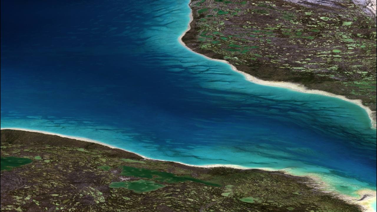
Our data are derived from digital nautical charts, single- and multi-beam survey data, liDAR, multi-sensor satellite-derived bathymetry (SDB), altimetry data, and seismic survey derived depths, among other data sources. In addition to a digital bathymetry grid, the 90- and 30-meter GIS product includes our variable scale shoreline data, digitized from Landsat and Sentinel-2 imagery.

Story Map

THE PROCESS

TCarta’s gridding algorithms apply weighting schemes to each data type based on specific variables, including source, resolution and currency. The resulting output is a continuous interpolated bathymetry product that represents the best available global bathymetric GIS data.

Case Study

Download our Products & Services Guide for detailed information on resolution and delivery options

Download Now

Subscribe to our newsletter


Loading

TCarta Marine LLC

1015 Federal Boulevard
Denver, CO 80204, USA

+1 (303) 284-6144

TCarta Caribe LLC

26 Haining Road
New Kingston, Jamaica

+1 (876) 817-8567

TCarta Canada Services Ltd.

1771 Robson Street - 1508
Vancouver, BC, V6G 3B7 CA

  • What We Do
  • Legal
  • Contact
  • LinkedIn
  • Instagram
  • Facebook
  • Twitter