Marine Basemaps
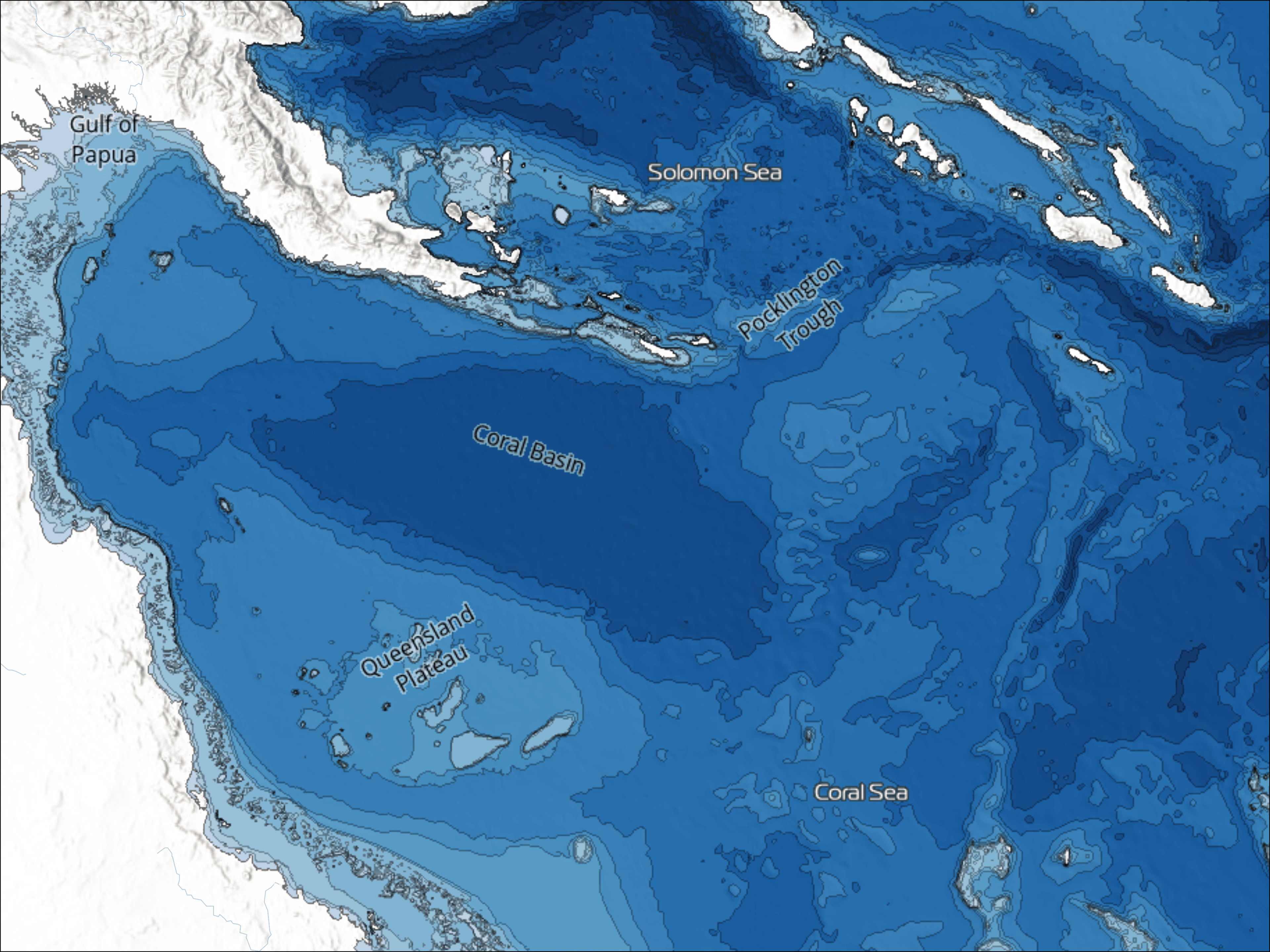
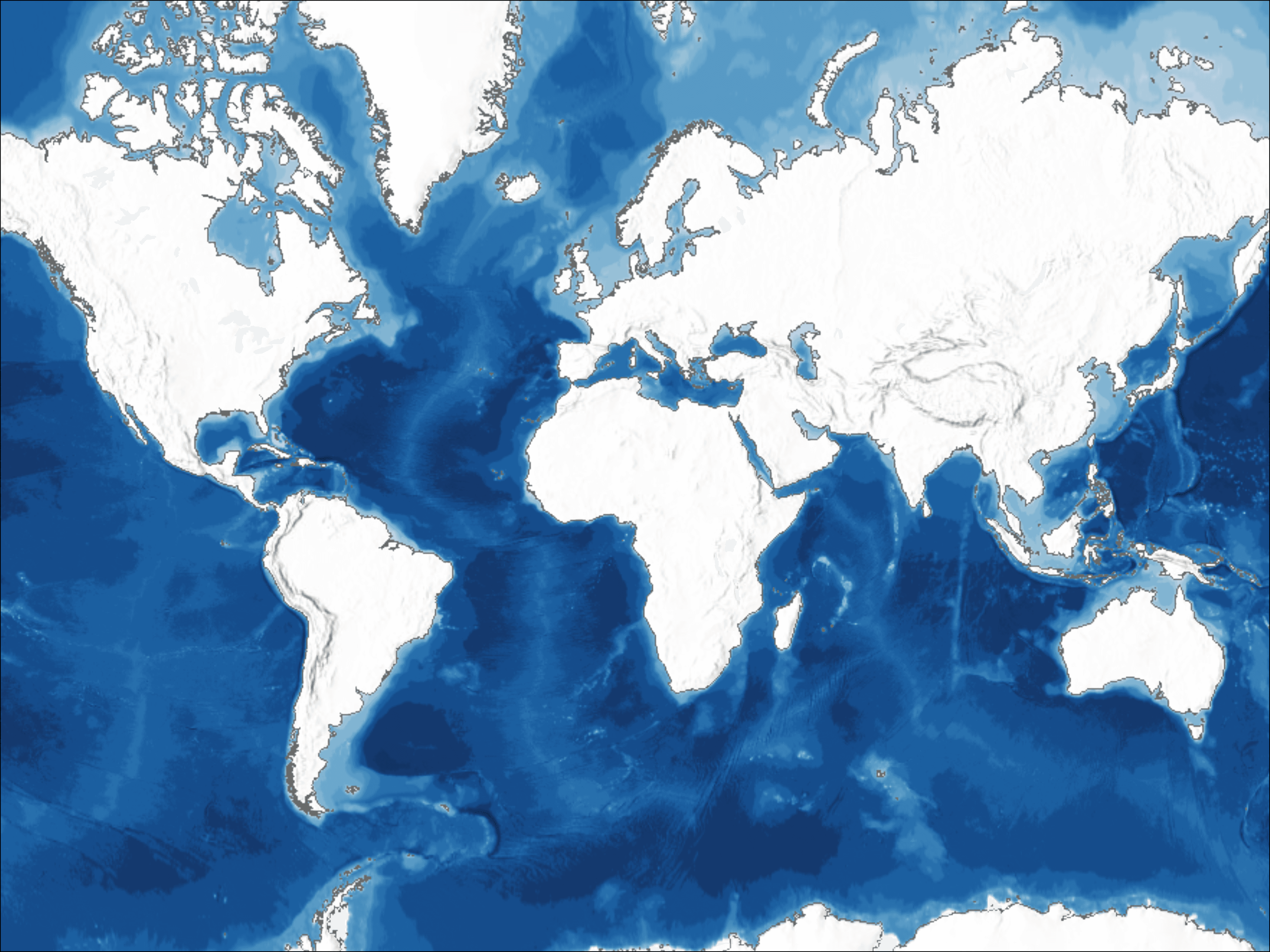
Marine Basemaps are dynamic, GIS-ready products designed to provide a visual backdrop for cartographic applications, planning, and decision-making in coastal regions. TCarta’s Basemaps seamlessly integrate into platforms like ArcGIS, Global Mapper, or QGIS, and are layered with underwater topography, including soundings, contours, and vivid color ramps to visualize depths. The Global and Regional Marine Basemaps are derived from TCarta’s Bathy Model, which is a seamless, multi-source DEM composed of SDB, nautical charts, sonar, and LiDAR data.
View available basemaps and request your area in our product catalog.
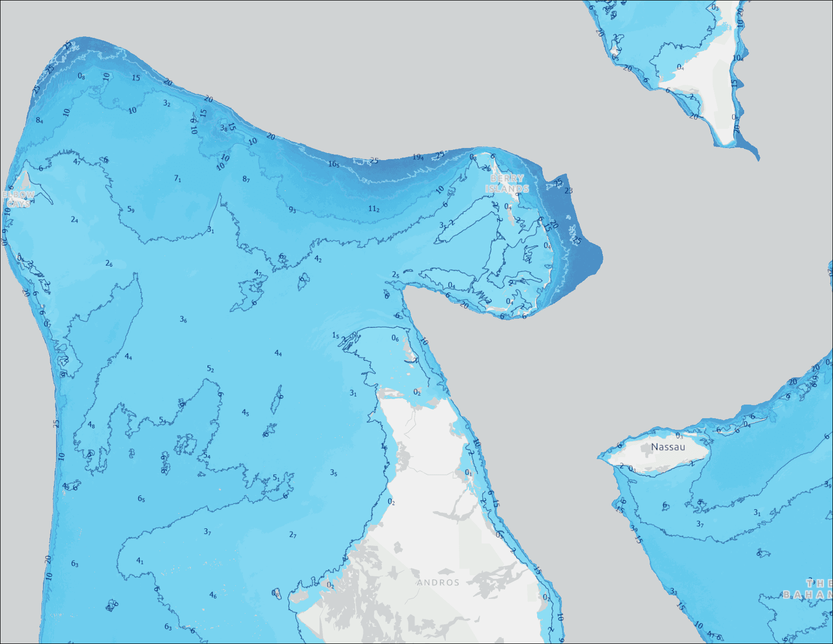
The Bahamas Regional Basemap
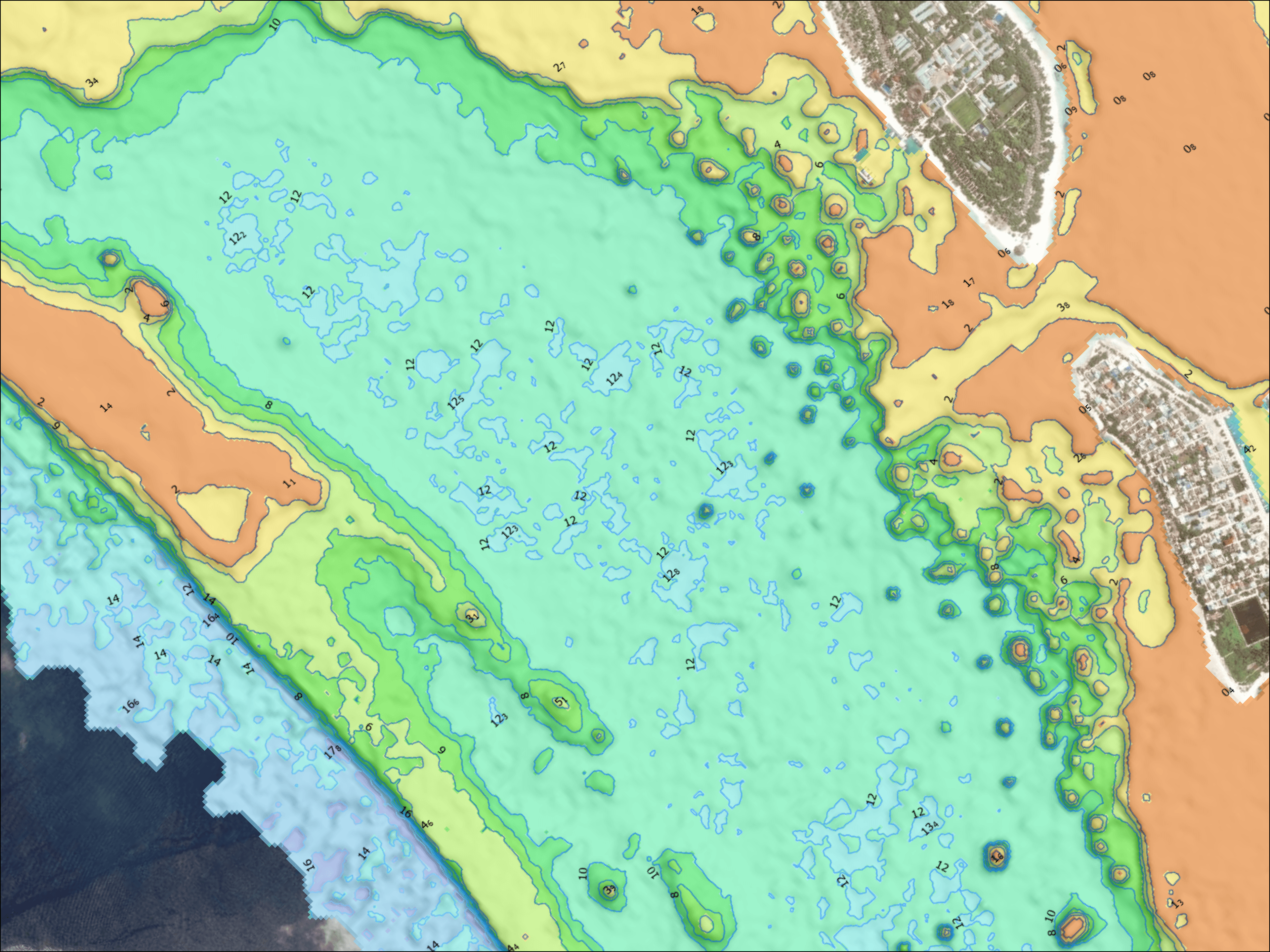
Maldives Regional Basemap
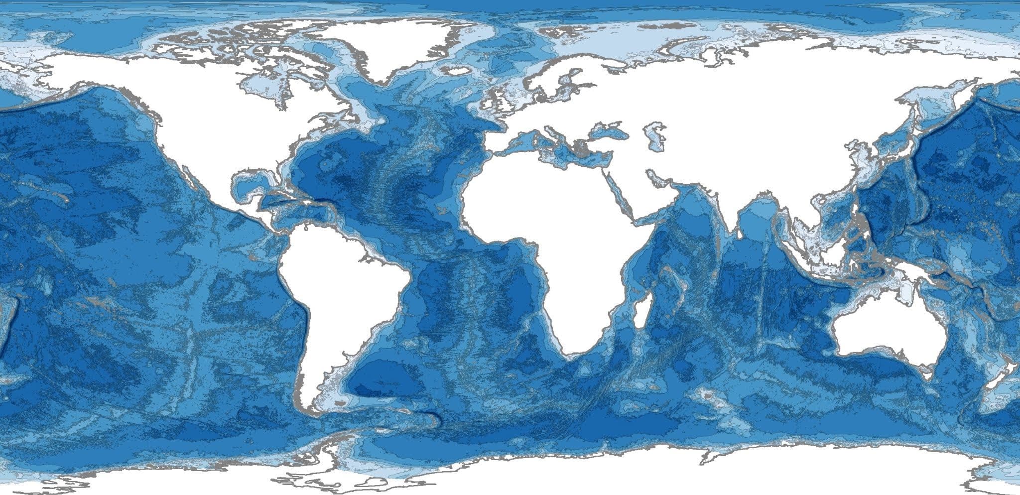
Global Marine Basemap
As a comprehensive data source and an analysis-ready tool, the Marine Basemap is an affordable project management and visualization tool.
TCarta’s multi-source Bathy Model, satellite derived bathymetry (SDB)
ESRI Tile Package, MBTiles, PMTiles, streaming service, and customized dashboards