How to Work with TCarta

Off-the-Shelf Data
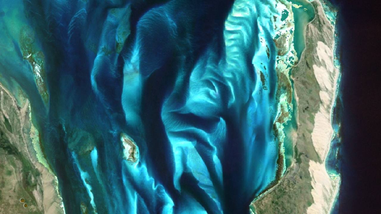
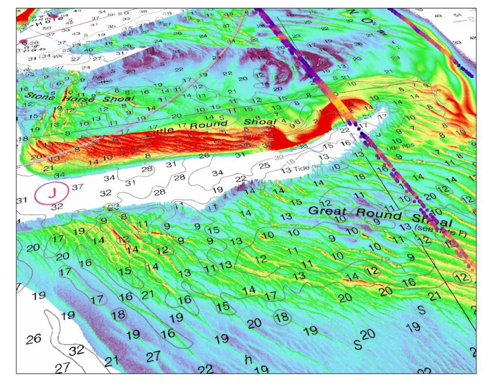
With the Global Satellite-Derived Bathymetry (GSDB) and Global Bathymetry product catalog, we have pre-built data for locations around the world. This global bathymetry is affordable and can be delivered to your organization quickly. We have data from the Red Sea, many other areas in the Middle East, the Caribbean, in US and Canadian waters, and throughout the world.

Site Monitoring and Change Detection
Satellite-Derived Bathymetry, Seafloor Classification, Global Bathymetry, and Water Quality products represent different types of bathymetric information available in your Area of Interest as a result of remote sensing technologies. Just as there are many algorithms & processing approaches to derive remote sensing data; there are many hybrid or custom solutions available to address your project needs. TCarta has more than a decade of experience engineering modern bathymetric solutions in the littoral zone.

Satellite-Derived Bathymetry (SDB) Software
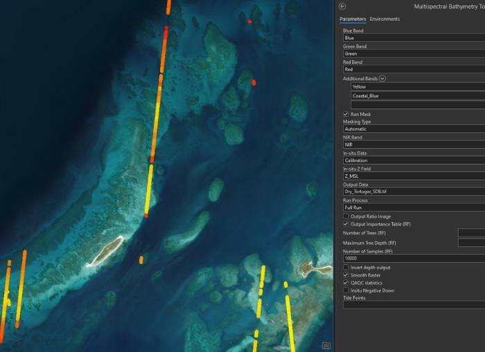
Deployed as a toolbox in Esri’s ArcGIS Pro, TCarta’s Trident Tools SDB software enables the end user to produce bathymetry in a user-friendly environment from satellite imagery or their own imagery source. The toolbox includes an in situ sampling tool, band ratio algorithm, random forest algorithm, a QAQC Statisics tool and BAG creator.

