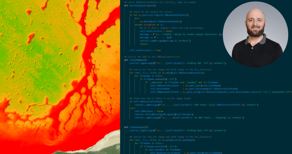
Interviewing and hiring Ross Smith was one of the first things I did after I joined TCarta in the spring of 2017. In the first weeks of working in the same office, I grew very fond of Ross’ sound effects while working. And still now, at least daily, there will be an intriguing “Aha” or “Ahhhhh” or “Hmm”–the kinds of noises that signal discovery or curiosity. On top of taking up hard Geospatial or Remote Sensing problems with enthusiasm and teaching himself many solutions, Ross is someone that teammates often turn to for support.
TCarta ran a monthly award in 2021, called the “Wookie Award,” in honor of Karl Lalonde, who was a very important part of TCarta until he passed away in 2020. Almost every single month, Ross received at least one nomination for the award, because his peers found his support and technical insight so valuable.
It has been a pleasure to get to know Ross more, as he and I are now halfway through our 6th year at TCarta. I hope you get a chance to meet him at a conference one day, or to watch his GISCafe Interview, or learn more about him from his responses to our Staff Q&A:
Q: When you were a kid, what did you want to be when you grew up?
A: I had absolutely no idea. Maybe a goat farmer.
Q: How do you describe your professional role to people who don’t know anything about it?
A: I usually say that I map the seafloor from space- sometimes I leave it as simple as “I make maps.”
Q: Tell me something about how you came to work at TCarta?
A: I went to my interview with the collar of my suit-jacket “popped”. I didn’t notice until I got home, and was mortified until I learned later it was taken to be some sort of bold interview power move — ha!
Q: What do you love about your work?
A: Every day I learn something new, get to tackle a challenge, and work with some brilliant minds to achieve great things!
Q: What software or tool makes the most difference in your day-to-day assignments?
A: My weapon of choice is Python– we rely on it for processing massive volumes of data, with some fairly innovative techniques to increase throughput. I am constantly utilizing Esri’s ArcGIS Pro, as well.
Q: What industry or subject-matter resource or publication do you recommend?
A: READ. THE. DOCUMENTATION. For any tool, software, python library, etc. You would be surprised how many issues are already documented, if you know where to look and take the time to do so.
Q: What is the most relevant real-world application of TCarta’s and/or your work?
A: I believe that our contributions to Seabed 2030 are the most impactful, though I do appreciate the value of the data we have produced for hydrographic offices as well.
Q: What’s your current favorite hobby / past-time?
A: Music!
Q: What country or region do you hope to explore next in travel?
A: I would love to return to Iceland, or visit Norway.
Q: What is one of the coolest things you’ve seen or visualized in your work at TCarta?
A: The first time we extracted and visualized bathymetry from the ICESat-2 ATLAS sensor back in late 2018 / early 2019, as a part of the Early Adopter program. When we were able to resolve depths down to 40m after only a couple months of work, I knew we were onto something!
Q: Who inspires you or is a professional role model of yours?
A: My late co-worker Karl Lalonde provided me with an immense amount of guidance towards becoming a far better geospatial developer and scientist.
Previous Hydrospatialist Spotlight: Natalie Treadwell
Next Hydrospatialist Spotlight: Chris Ilori

