The future of hydrospatial is looking bright
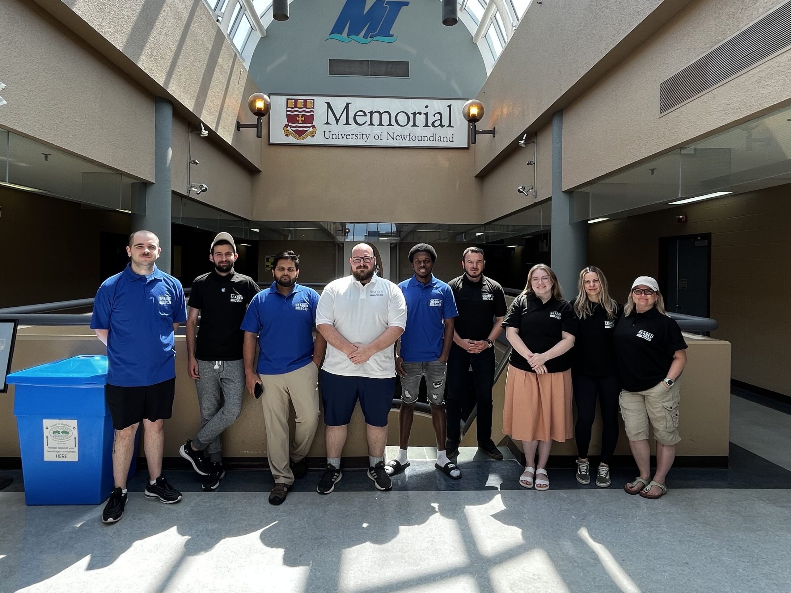
Six students participated in the summer-long paid SDB internship facilitated by TCarta and held at the Marine Institute (MI) of Memorial University in St. John’s, Newfoundland. All six students are recent graduates or currently enrolled in the MI Ocean Mapping program. Mobilization of the program was shared among TCarta, Memorial University and The Nippon Foundation-GEBCO Seabed 2030 Project, which seeks to inspire the complete mapping of the seafloor by 2030.
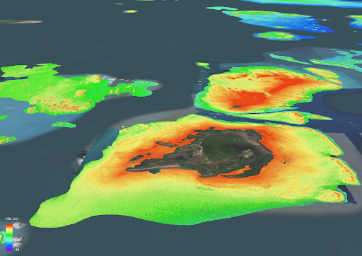
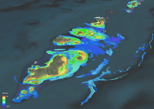
With the 2nd annual Internship wrapping up this week, the student interns successfully produced 39,304 km2 of 10m resolution Satellite Derived Bathymetry (SDB) in 4 areas of interest around the world in a mere 8 weeks! SDB was produced on the Coastline of Somalia, Mosquito Coast, the Galapagos, and islands of the Lesser Antilles. This Bathymetry will be contributed to the Seabed 2030 initiative, as were last year’s internship results in Madagascar, Newfoundland and the Canadian Arctic.
Students were taught many key capabilities during the summer. For instance, they were introduced to the variety of satellite imagery available for SDB and studied the strengths of each for certain project types. TCarta also instructed the interns on how to use a pre-processing tool to prepare in situ data from sonar or Lidar as calibration datasets for processing the satellite images.
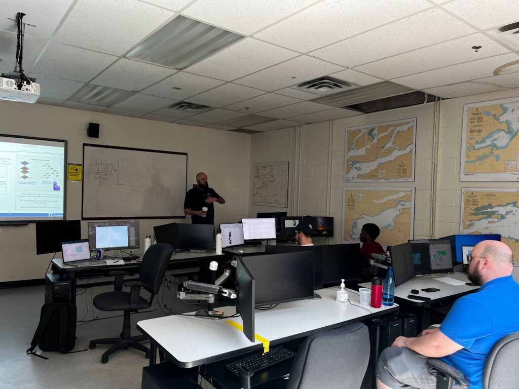
Furthermore, they learned how to apply an enhanced version of a traditional band ratio algorithm along with a machine learning algorithm in iterative processes to derive water depth measurements from individual image pixels.
These hydrospatial skills have proved valuable- not only contributing to the missions of the Seabed 2030 initiative- but also to help prepare and inspire students to be the hydrographers of the future. We are proud of the valuable technical skills and knowledge they have brought and will continue to bring to the world of Hydrography.
