The role of satellite-based mapping in hydrography
March 26th, 2024
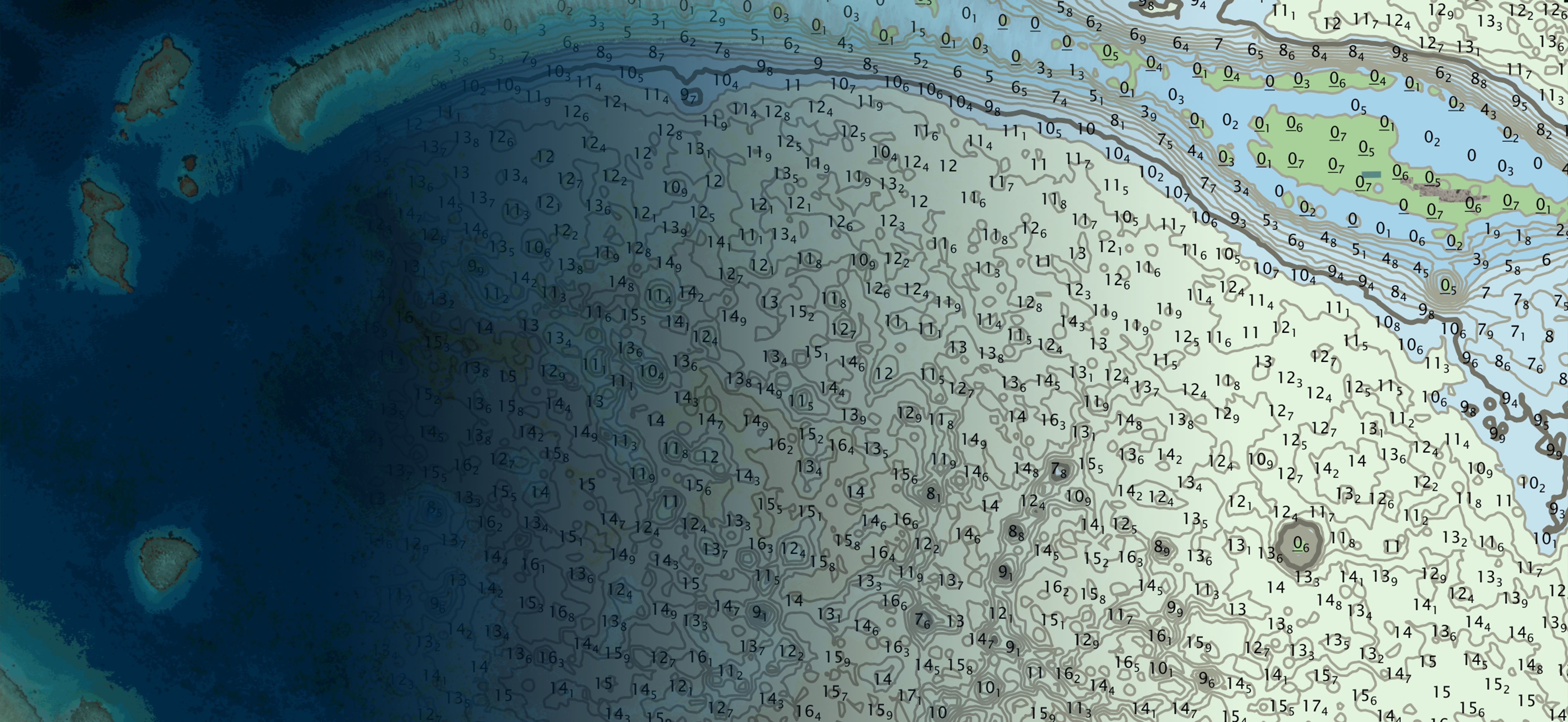
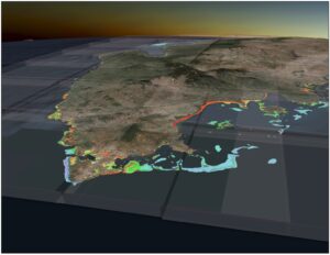
An efficient method for mapping water properties
Read in Hydro International
TCarta Satellite-Based Hydrospatial Tech
We are your contact for Marine Remote Sensing and Hydrospatial data services.

An efficient method for mapping water properties
Read in Hydro International

TCarta to use Capella Space’s 24/7, sub-daily synthetic aperture radar (SAR) imagery for detailed hydrospatial analysis
Read on Capella
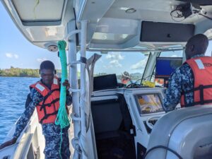
TCarta Marine, a global provider of hydrospatial products and services, will conduct a week-long coastal bathymetric mapping workshop for hydrographic surveyors in Jamaica. The workshop will be hosted by the Jamaica National Land Agency (NLA) and supported by The Nippon Foundation-GEBCO Seabed 2030 project.
Read on GISuser
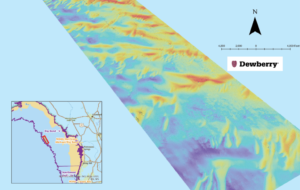
Dewberry works with Florida Department of Environmental Protection to map the Gulf Coast of Florida sea floor.
Read in LIDAR Magazine
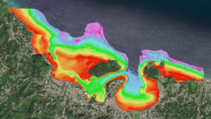
The National Land Agency (NLA) has been using hydrography to harness the potential of the blue economy, while fulfilling its mandate of mapping the landscape of Jamaica’s territorial waters.
Read in The Gleaner
Read in The American Surveyor
TCarta Marine, a global provider of hydrospatial products and services, has delivered three major satellite derived bathymetry (SDB) data sets to The Nippon Foundation-GEBCO Seabed 2030 project. Students in Canada participating in a 2023 summer internship program created the SDB products for the entire coastline of Madagascar, Newfoundland, and two Canadian Arctic research areas.
