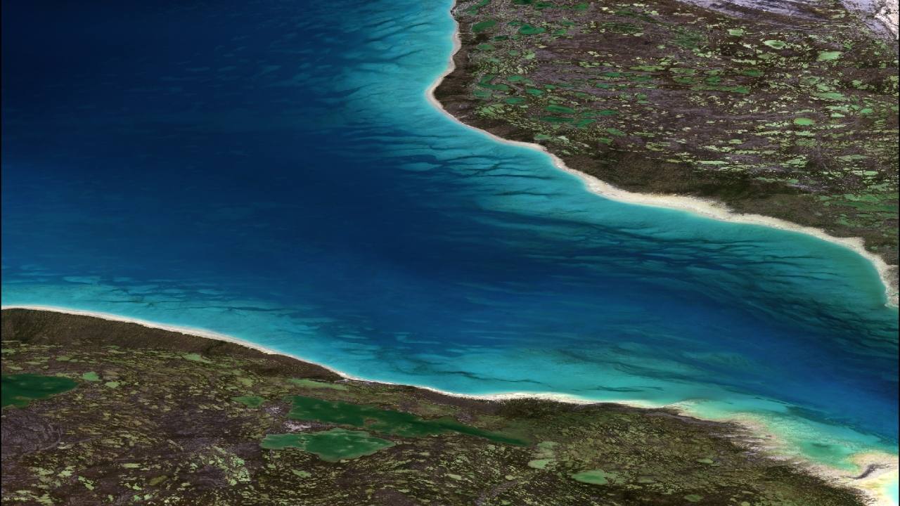
Seafloor Classification
To help organizations understand and track changes in coastal habitats over time, TCarta offers a seafloor classification products derived from high resolution multispectral and hyperspectral satellite imagery. The solution categorizes seafloor elements into classes – including coral, sea grass, mangroves, dredged areas, unconsolidated sediments, and substrate – to produce highly detailed maps for ongoing monitoring purposes.
TCarta delivers seafloor classification solutions customized for each customer’s project size, budget, and final application. Connect with a TCarta representative today to get a custom scope.
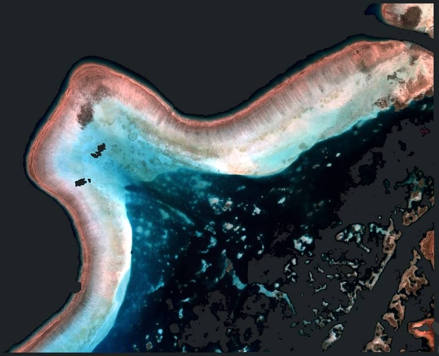
HOW IT WORKS
Deploying both unsupervised and supervised methods to satellite imagery, TCarta analysts assign training information for seafloor types, such as seagrass or sediment, to train machine learning algorithms. This robust but adaptable process produces maps indicating where and how much of each categorized component appears in the location. Monitored over time, these maps allow marine managers to understand how habitats are shifting or evolving.
QUALITY ASSURANCE
While we do strive for affordability and accessibility, the level of quality we work toward is a critical focus. We know many large organizations and businesses utilize the results and data from TCarta’s bathymetric maps to make decisions large and small. TCarta has experts rigorously check all seafloor classification data and ensure it meets data specifications from the client and international classification standards.
