The National Land Agency (NLA) has been using hydrography to harness the potential of the blue economy, while fulfilling its mandate of mapping the landscape of Jamaica’s territorial waters.
The blue economy is the sustainable use of ocean resources for economic growth and improved livelihoods and jobs, while preserving the health of the ocean ecosystem.
In a recent interview with JIS News, senior hydrographic surveyor at the NLA, Diego Billings, pointed out that having an “improved understanding of the sea floor, through hydrography, can be used to harness the full potential of the blue economy by seizing opportunities to boost economic growth, improve livelihoods and intensify trade activities, all while preserving the sea’s ecosystem”.
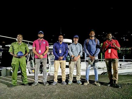
He added that, through its Topographic Hydrographic Survey Unit, the NLA has continued, and continues, to “honour its fulfilment to stakeholders through the collection, maintenance and distribution of accurate data obtained from regular surveys of Jamaica’s ports and harbours”.
This is done through routine surveys conducted in different locations throughout the year.
“Since the start of the year, surveys have been conducted at Rosey Hole, Port Royal and the west and east harbours of Port Antonio, and plans are in place for four additional hydrographic surveys to be conducted at the Montego Bay, Negril, Black River and Ocho Rios harbours by the end of 2023,” Billings pointed out.
“The information collected from these surveys is crucial for ensuring smooth and safe navigation for ships and other marine activities,” he informed.
Some of these activities include maritime boundary delimitation, national marine spatial data infrastructure, marine defence and security, coastal zone management and recreational boating, among others.
The senior hydrographer also shared that the quality of the hydrographic survey results has been enhanced with the help of technological advancements over the years.
One such enhancement is the employment of the Satellite Derived Bathymetry (SDB) method in hydrographic surveys.
This approach, said Billings, “enables us to produce bathymetric maps of extensive regions, which allows for more effective and efficient use of time and resources”.
The first accomplishment using this method was achieved through a collaborative case study with TCarta Caribe in 2020 when a hydrographic survey of the Bowden Harbour in St Thomas was completed using the SDB.
Billings also noted: “Drones have been used to map the shorelines of the seas, which has resulted in significant reduction in the overall time it takes to complete surveys.”
Against the background of Jamaica being a council member within the International Hydrographic Organization (IHO), Billings said that “with such responsibility, there is increased motivation to expand the country’s imprint in the arena of ocean mapping”.
Plans are therefore underway for Jamaica to participate in the Nippon-Foundation-GEBCO Seabed 2030 Project.
“This initiative aligns with the United Nations Sustainable Development Goal 14, which is to conserve and sustainably use the oceans, seas and marine resources for sustainable development,” Billings pointed out.
As part of the project, hydrographers from the NLA will be tasked with mapping Jamaica’s Exclusive Economic Zone (EEZ).
The team will consist of two Category-A and one Category-B hydrographic professionals who have received international training and are certified by the International Federation of Surveyors, IHO and the International Cartographic Association.
“It will be a challenging-yet-rewarding endeavour. By 2030, the hydrographic data collected from Jamaica’s EEZ will be combined with other seabed mapping data to create a comprehensive digital map of the world’s ocean floor,” Billings noted.
“We are enthusiastic about the potential of this global endeavour and its impact on the development of Jamaica’s blue economy,” he added.
On June 21, the NLA joined the rest of the world to celebrate World Hydrography Day, under the theme ‘Hydrography – Underpinning the Digital Twin of the Ocean’.
