By Graeme Timmeney
Water quality has a significant history of monitoring across various satellite systems. Since the advent of publicly available satellites with the launch of Landsat in 1972, researchers and scientists have developed various methods for the monitoring of water bodies across the globe. One such satellite, MODIS (Moderate Resolution Imaging Spectroradiometer), an instrument mounted on NASA’s Terra and AQUA Satellite has been utilized in numerous studies related to water quality since its launch in 1999. Researchers have employed MODIS data to offer daily monitoring of water quality parameters such as chlorophyll-a concentration, turbidity, and suspended sediment concentration. The information on water quality derived from these satellites have been used to monitor harmful algal blooms and other water quality incidents throughout the globe. This information offers a historical snapshot in time of water quality at a very low resolution across very large areas.
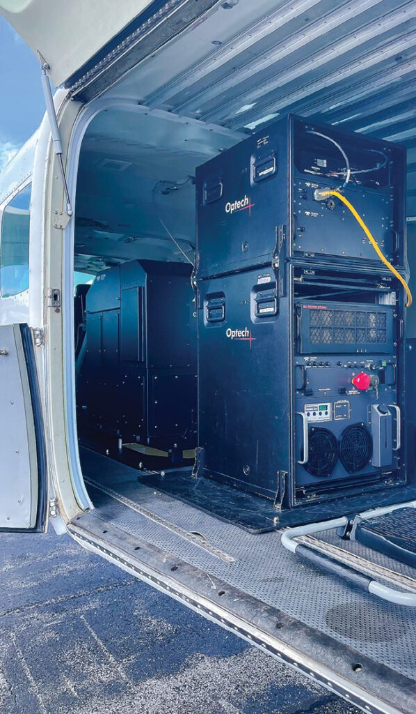
For many commercial and scientific applications, water quality must be monitored daily, with a short lag time of image acquisition to water quality metrics. One such application, airborne bathymetric lidar, can be heavily impacted by water column conditions such as turbidity and algal blooms. Bathymetric lidar surveys utilize airborne mounted sensors with a green laser at 532 nanometers that can penetrate the water column and return to the sensor, creating an accurate picture of the seabed up to 30 meters deep. Poor conditions can greatly impact the cost of mapping large areas.
Historical water quality analysis utilizing free satellite imagery can offer a historical snapshot of water quality across large areas with high levels of accuracy, assisting companies with the process of planning for bathymetric lidar surveys. These historical analyses, undoubtedly useful for planning, can only offer previous trends from years past. With the advent of anthropogenic induced climate change across the ocean, seen clearly in the upward trend of sea surface temperature, these historical studies only reflect the past, not the present
TCarta has found and implemented a solution that takes both historical analyses, daily imaging and cloud computing to implement a fast and effective water quality monitoring solution that utilizes Planet Labs daily imaging to assist in bathymetric lidar surveys. Historical surveys at a large spatial scale across an AOI are conducted to identify areas with frequent water quality problems that could affect a bathymetric lidar survey. These large scale historical analyses offer a comprehensive analysis, allowing for the selection of individual sites within the survey area that are most useful for more frequent and current monitoring. With potential sites selected, daily imagery is captured and analyzed for a number of relevant metrics within a matter of hours and posted directly to a water quality dashboard that clients can utilize to assess trends and current conditions at a site on the same day as image capture. This information allows for strategic flight planning based on both the success of previous flights in relation to water quality metrics as well as the current state of water quality over a given study area. This method is agile and effective at reducing the number of flights and overall project cost.
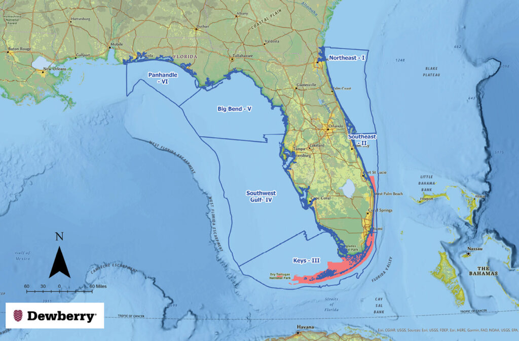
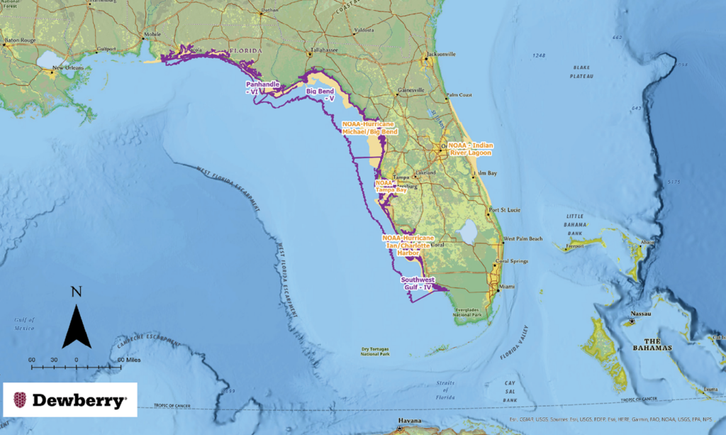
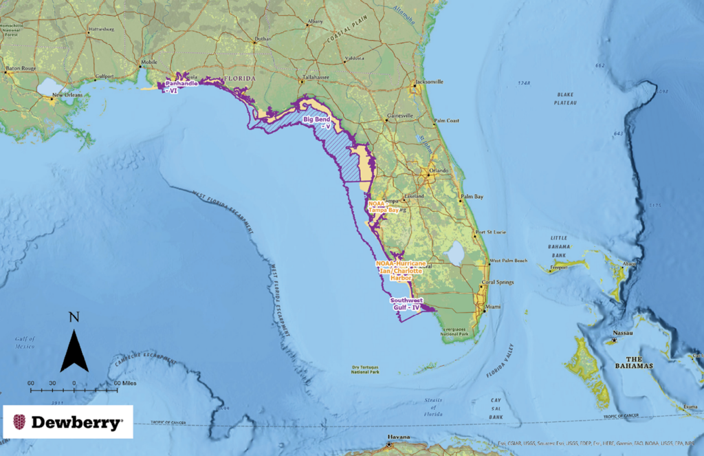
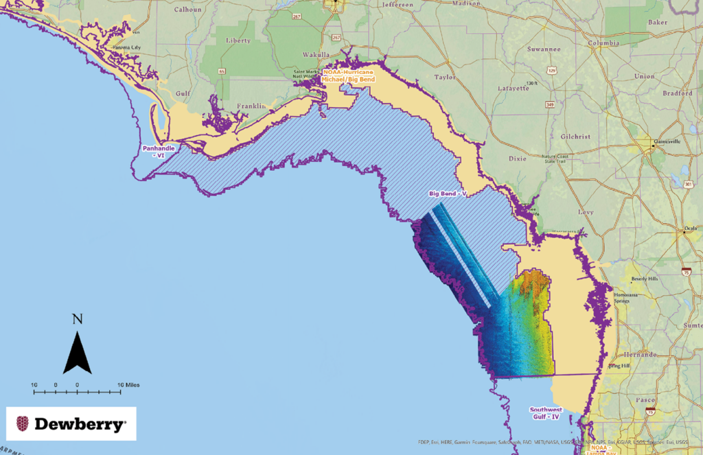
In a partnership with Dewberry, TCarta has implemented its daily water quality monitoring capabilities to assist in aerial bathymetric lidar planning across approximately 25,000 km2 of Florida’s coastline. A web-based dashboard was created to allow Dewberry to visualize water quality at 28 different sites for both historical and daily monitoring. This dashboard is updated within an hour of image capture with both the RGB imagery from Planet as well as 6 derived water quality metrics analyzing the potential for surface and sub-surface water quality conditions. Metrics analyze the potential for water column penetration as well as the presence of surface algae in the water. This dashboard has allowed Dewberry to increase the efficiency of flights across a massive area by informing the project managers of when and where is the best opportunity to fly on a given day. You can read more about Dewberry’s use of the dashboard here: Mapping Florida Waters
DEWBERRY ARTICLE
“Planning aerial acquisition missions, and particularly topo bathymetric missions in Florida, presents unique challenges. With the flat inland and coastal topography, even low-yield, inland rain events can result in large amounts of particulate runoff into the Gulf of Mexico. Combining the runoff with tannic components, such as those in the Suwannee River system in Big Bend, can result in poor water quality and unfavorable conditions for lidar bathymetry.
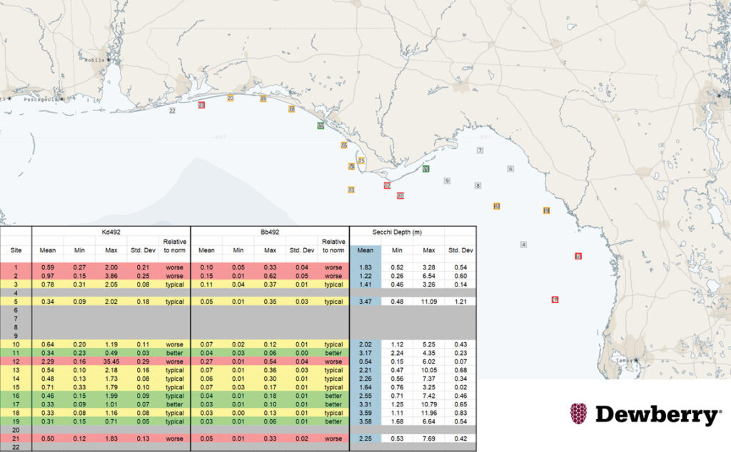
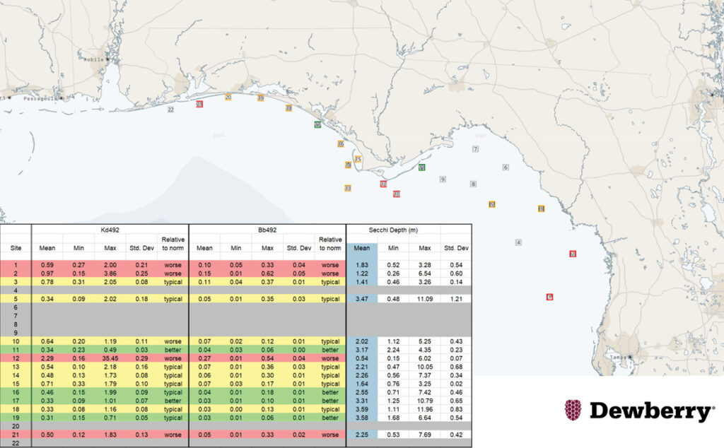
To help avoid collecting lidar during sub-optimum water clarity conditions, Dewberry has partnered with TCarta to provide satellite-derived bathymetry (SDB) for 22 selected sites dispersed throughout the regions. TCarta delivers the water clarity estimates daily based on several metrics, including the diffusion coefficient (Kd492), the backscatter coefficient (Bb492), and secchi disk depth (Figure 8) to help evaluate the water clarity and interpret current water conditions relative to historic norms. This methodology has helped Dewberry minimize non-productive flights, therefore increasing efficiency and decreasing environmental carbon dioxide loading.”

