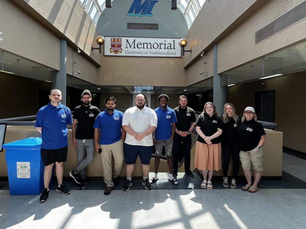
Six students took part in a summer-long paid satellite-derived bathymetry (SDB) internship facilitated by TCarta and hosted at the Marine Institute (MI) of Memorial University in St. John’s, Newfoundland. All participants were either recent graduates or current students in the MI Ocean Mapping programme. The programme’s mobilization was a collaborative effort among TCarta, Memorial University and The Nippon Foundation-GEBCO Seabed 2030 Project, which aims to inspire the complete mapping of the seafloor by 2030.
As the second annual internship concludes this week, the student interns have successfully produced 39,304km² of 10m-resolution SDB across four areas of interest worldwide, all within just eight weeks. The SDB was generated for the coastlines of Somalia, the Mosquito Coast, the Galapagos and the islands of the Lesser Antilles. This bathymetry will be contributed to the Seabed 2030 initiative, just as last year’s internship results from Madagascar, Newfoundland and the Canadian Arctic were.
Pre-processing tool
During the summer, students were equipped with essential hydrographic skills. They were introduced to a range of satellite imagery options for SDB and learned to evaluate the strengths of each for various project applications. TCarta provided training on using a pre-processing tool to prepare in situ data from sonar or Lidar, which served as calibration datasets for processing satellite images. Additionally, the students were taught how to apply an enhanced version of a traditional band ratio algorithm alongside a machine learning algorithm in iterative processes to derive water depth measurements from individual image pixels.
These hydrospatial skills have proven invaluable, not only by contributing to the Seabed 2030 initiative but also by preparing and inspiring future hydrographers. The technical expertise and knowledge they have acquired will continue to benefit the field of hydrography.