Technology Demonstration Project:
Large-Scale Satellite Derived Bathymetry Mapping
Client Overview
Seabed 2030 is a collaborative project between the Nippon Foundation of Japan and the General Bathymetric Chart of the Oceans (GEBCO). It aims to bring together all available bathymetric data to produce the definitive map of the world ocean floor by 2030 and make it available to all.
Challenge
As much 100m resolution bathymetric data to fill gaps as possible within budgetary constraints.
Our Approach
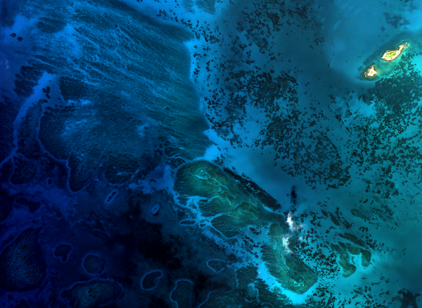
In collaboration with Seabed 2030 and with the organization’s mission in mind, TCarta devised a technical program to map the whole country of The Maldives using SDB within the dedicated budget. By pushing the limits of the technology and spinning up extra CPUs and SSDs, TCarta was able to provide data over the whole country. This entailed processing more than 509 images and over 1 million ICESat-2 points in order to produce more than 4,200 sq km of 10-meter resolution SDB, all in 1 month of production time.
Results
As a result of this technical effort, Seabed 2030’s global data coverage improved by 4,200 sq km in a remote location, and the Maldivean government received a complete, up-to-date 10-meter resolution dataset of their waters to support climate change modeling and other analysis.
This large-scale, whole country mapping program represents an ideal application of state-of-the art SDB technology in a remote location to support organizational missions within temporal, spatial and financial constraints. Thousands of satellite images were assessed and hundreds processed using machine learning and cloud computation; this information was all freely available and passively collected. TCarta’s NSF-funded GSDB technology is optimally positioned to process it for new products.

