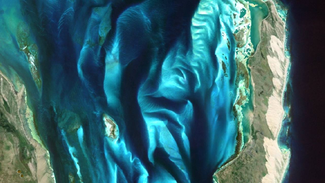
What Do We Measure?
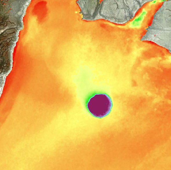
WATER DEPTH
We gauge marine depths with great accuracy and reliability, creating water depth maps and water depth charts for clients and organizations.
Satellite Derived Bathymetry
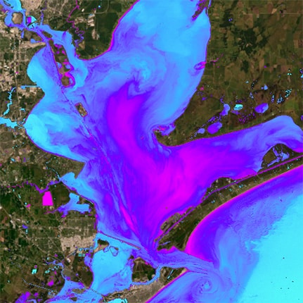
WATER QUALITY
We evaluate aquatic health and capture changes in environments over time with remote sensing technology.
Satellite Derived Water Quality
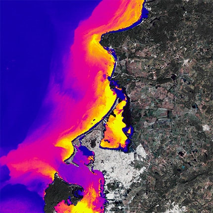
WATER CLARITY
We analyze turbidity for insight into water quality using geospatial remote sensing technology.
Seafloor Classification
BENTHIC TYPES
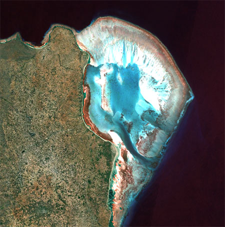
We derive water depths and integrate contours to create detailed maps for navigation via digital nautical charts, sailing charts, and more.
Seafloor classification
MARINE HABITATS
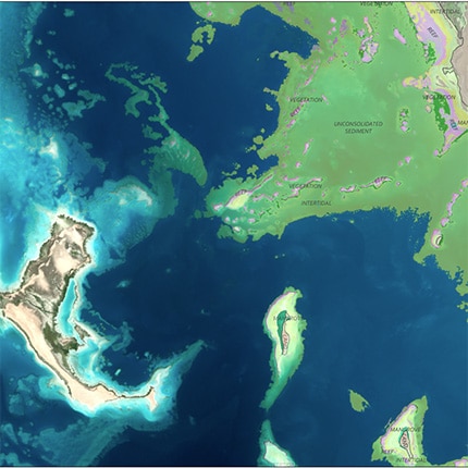
Remote satellite sensing can classify seafloor elements to produce maps for ongoing monitoring purpose.
Seafloor habitat Mapping
SHORELINE
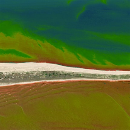
We capture shoreline data using coastal bathymetry to make dynamic coastal environments easier to manage.
Custom Solutions

