Blogs

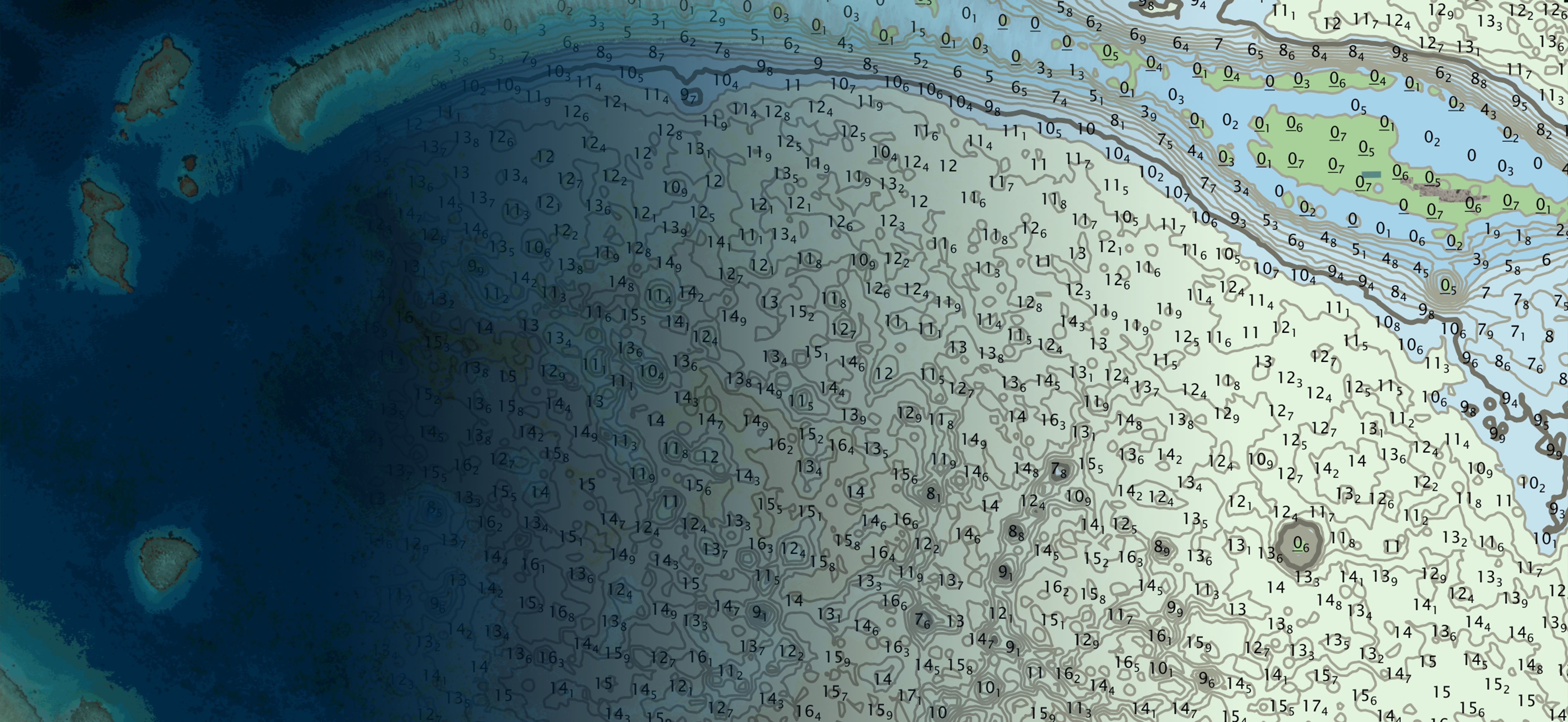
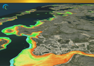
TCarta, Seabed 2030, and Marine Institute Summer Interns Produce 40,000 km² of SDB

August 15th, 2024
TCarta Marine

The future of hydrospatial is looking bright Six students participated in the summer-long paid SDB internship facilitated by TCarta and held at the Marine Institute (MI) of Memorial University in St. John’s, Newfoundland. All six students are recent graduates or currently enrolled in the MI Ocean Mapping program. Mobilization of the program was shared among […]

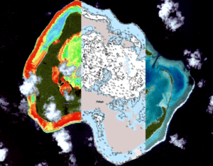
Minding the Gap in Uncharted Waters

April 11th, 2024
TCarta Marine

By: Dr. Chris Ilori In the vast expanse of our changing world, regions where the waters remain largely uncharted are increasingly traversed due to the shifting tides of climate change and global trade. The Arctic, with its melting ice and expanding maritime activity, exemplifies the pressing need for accurate bathymetric data. Amidst this uncharted territory, […]

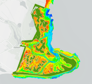
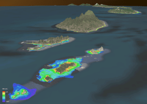
Seamless Topobathy DEM Pilot Project in Alaska using SDB

March 29th, 2024
TCarta Marine

By Natalie Treadwell

In recent years, the field of bathymetric surveying has seen significant advancements, specifically with Satellite Derived Bathymetry (SDB), which has been used to map several regions of the world’s littoral areas. However, in Alaska…

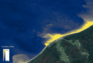
Satellite Derived Water Quality Analysis

February 16th, 2024
TCarta Marine

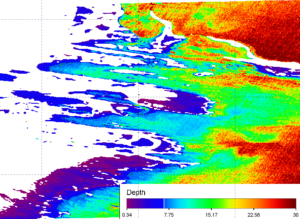
By Graeme Timmeney Water quality has a significant history of monitoring across various satellite systems. Since the advent of publicly available satellites with the launch of Landsat in 1972, researchers and scientists have developed various methods for the monitoring of water bodies across the globe. One such satellite, MODIS (Moderate Resolution Imaging Spectroradiometer), an instrument […]

Navigating the Depths: Charting and Preserving Coastal Assets

December 11th, 2023
TCarta Marine

In this blog, we’ll embark on a journey of discovery into the critical realm of coastal mapping and preservation. Our focus: why mapping and updating global coastlines matter significantly, transcending geographical boundaries and resonating with nations worldwide. Let’s delve into the importance of coastal mapping.