Delving into African Waters: Navigating Lake Malawi’s Depths with Satellite-Derived Bathymetry
April 8th, 2024
By: Dr. Chris Ilori
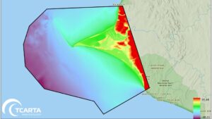
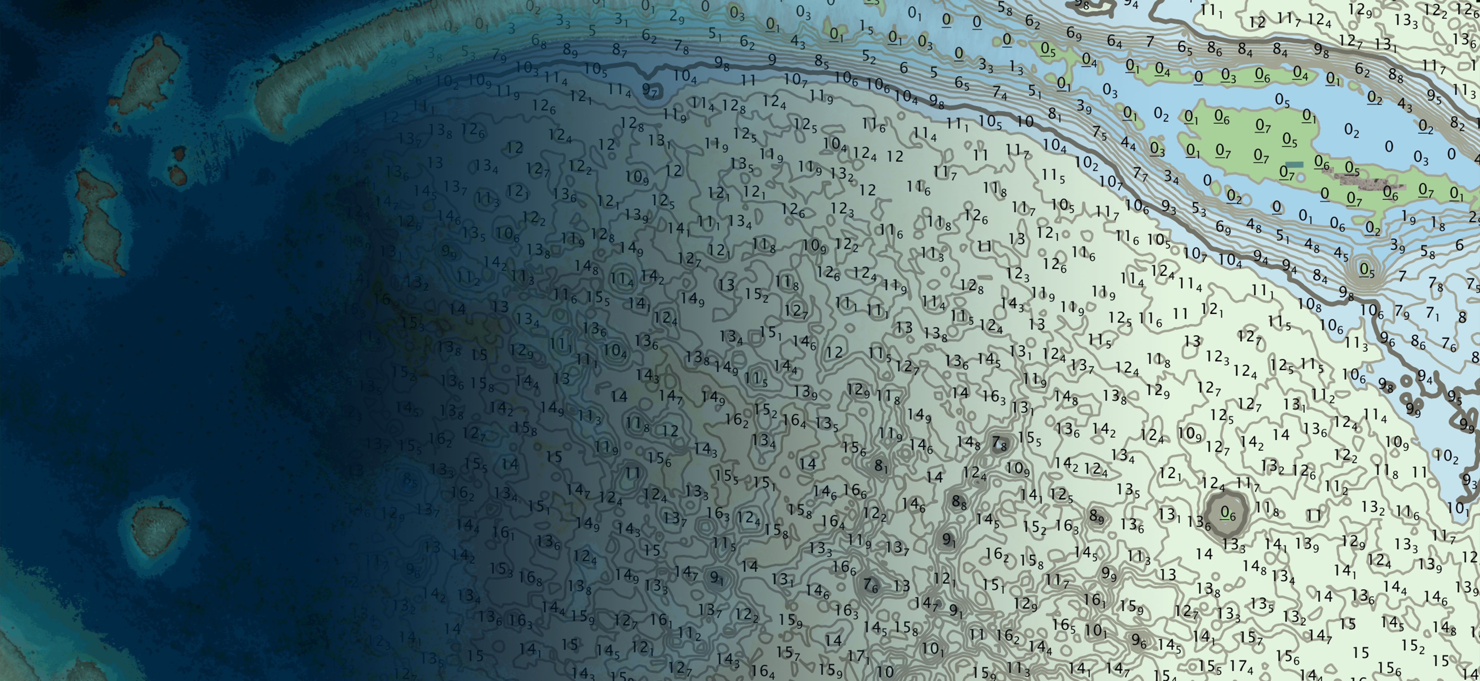
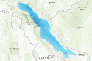
Nestled in the heart of Africa, Lake Malawi, known as the ‘Calendar Lake’ due to its dimensions (365 miles by 52 miles), is a geographical marvel. This third-largest African lake, and ninth-largest globally, is a thriving hub of biodiversity with…