Celebrate Hydrography by Uplifting and Enabling the Modern Hydrographer
June 9th, 2025
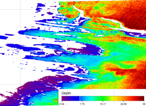
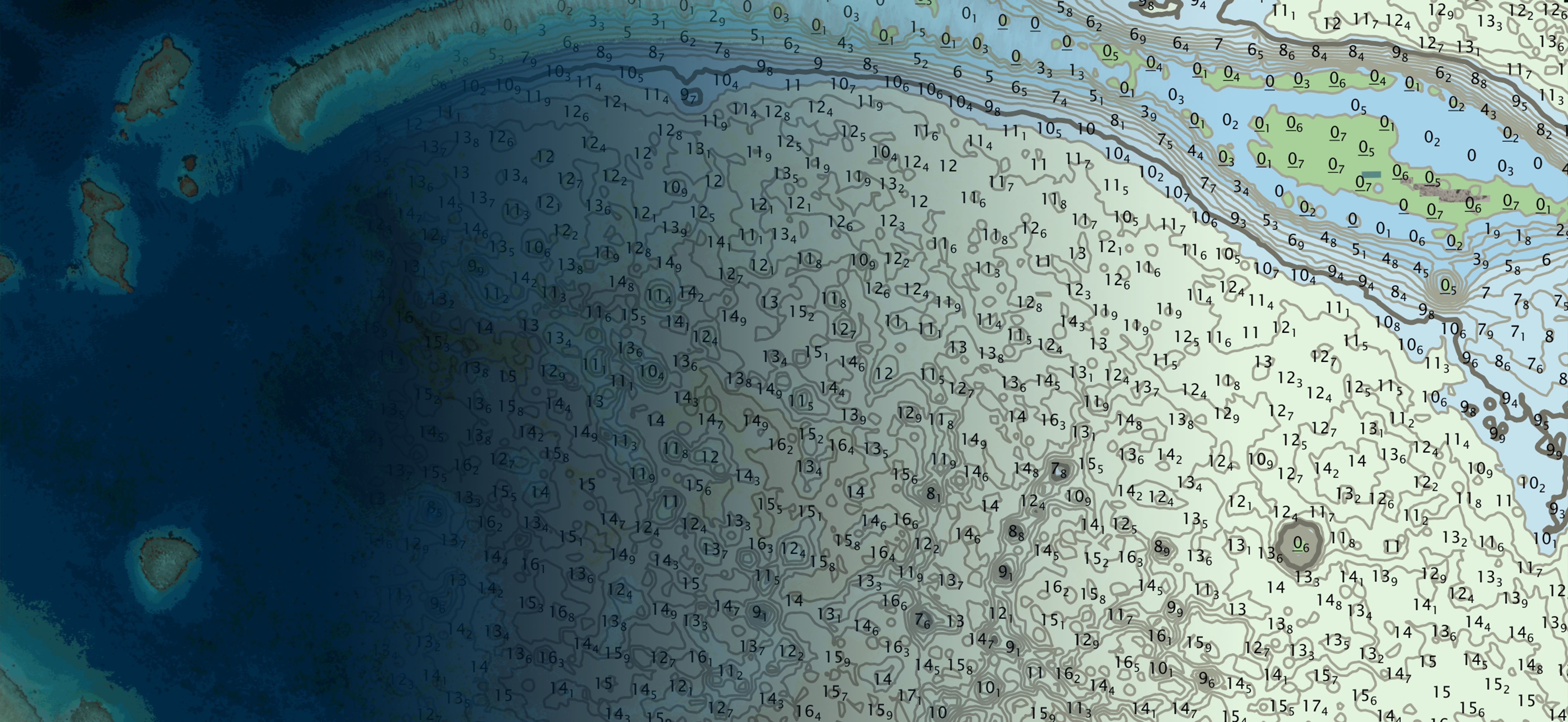
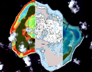
Now more than ever, satellite based solutions and capabilities are essential for the safe-keeping of nations and environments and for the evolution of hydrography and hydrographers.