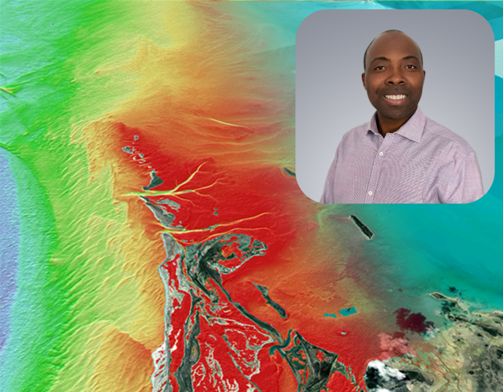
Hydrospatial Spotlight shines on Dr. Christopher Ilori, Senior Geospatial Scientist, Burnaby, British Columbia, Canada
Ilori mixes passion for remote sensing with humor and enthusiasm for a good challenge!
Chris Ilori, PhD is a subject matter expert in atmospheric correction and satellite derived bathymetry (SDB) as you can see by a quick glimpse at his Google scholar page. As he has dedicated so much of his professional life to the research of satellite-based marine remote sensing and since Chris has a very sunny personality, he often tells jokes about SDB. For example, recently he told a group of us that if a remote sensing analyst spent 100 years producing SDB, 90 of those years would be spent on Atmospheric Correction. –This is now a common line on our team!
Since Chris has been with TCarta, he has collaborated with our staff to develop more robust radiative transfer methods for SDB and other machine learning approaches, such as the Random Forest method. He typically contributes his expertise to more challenging regions or images and reliably brings a very positive attitude to these challenges. Chris has also facilitated internal capacity building on atmospheric correction, other imagery processing techniques, SDB and Marine remote sensing in general…always with a little extra joie de vivire (Chris speaks french, too!).
I invite you to learn more about Chris from his responses to our Staff Q&A:
Q: How do you describe your professional role to people who don’t know anything about it?
A: I tell people I use satellite data to analyse and reveal changes about our (physical) environment.
Q: Tell me something about how you came to work at TCarta?
A: My PhD advisor told me about TCarta and recommended me to the company. In 2018, I was hired by TCarta to come and work on physics-based satellite derived bathymetry, which happened to be my primary research focus in graduate school.
Q: What do you love about your work?
A: I love the idea of using models to derive stunning images/maps of water depth estimates from satellite imagery.
Q: What software or tool makes the most difference in your day-to-day assignments?
A: Python
Q: What industry or subject-matter resource or publication do you recommend?
Q: What is the most relevant real-world application of TCarta’s and/or your work?
A: Production of bathymetry maps for intelligence and safety navigation in nearshore waters.
Q: What’s your current favorite hobby / past-time?
A: Piano playing.
Q: What country or region do you hope to explore next in travel?
A: Japan
Q: What is one of the coolest things you’ve seen or visualized in your work at TCarta?
A: Maps of water depth and coral reefs.
Q: Who inspires you or is a professional role model of yours?
A: Anders Knudby, PhD (Partner in TCarta Canada)
Previous Hydrospatialist Spotlight: Ross Smith
Next Hydrospatialist Spotlight: Michaela Barnes
