Customize Consent Preferences

We use cookies to help you navigate efficiently and perform certain functions. You will find detailed information about all cookies under each consent category below.

The cookies that are categorized as "Necessary" are stored on your browser as they are essential for enabling the basic functionalities of the site. ... 

Always Active

Necessary cookies are required to enable the basic features of this site, such as providing secure log-in or adjusting your consent preferences. These cookies do not store any personally identifiable data.

No cookies to display.

Functional cookies help perform certain functionalities like sharing the content of the website on social media platforms, collecting feedback, and other third-party features.

No cookies to display.

Analytical cookies are used to understand how visitors interact with the website. These cookies help provide information on metrics such as the number of visitors, bounce rate, traffic source, etc.

No cookies to display.

Performance cookies are used to understand and analyze the key performance indexes of the website which helps in delivering a better user experience for the visitors.

No cookies to display.

Advertisement cookies are used to provide visitors with customized advertisements based on the pages you visited previously and to analyze the effectiveness of the ad campaigns.

No cookies to display.

Newsroom

Beyond Either/Or: Integrating Hydrographic Technologies for a Data-Driven Future

March 31st, 2025
TCarta Marine

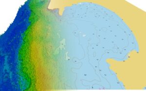
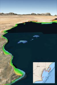
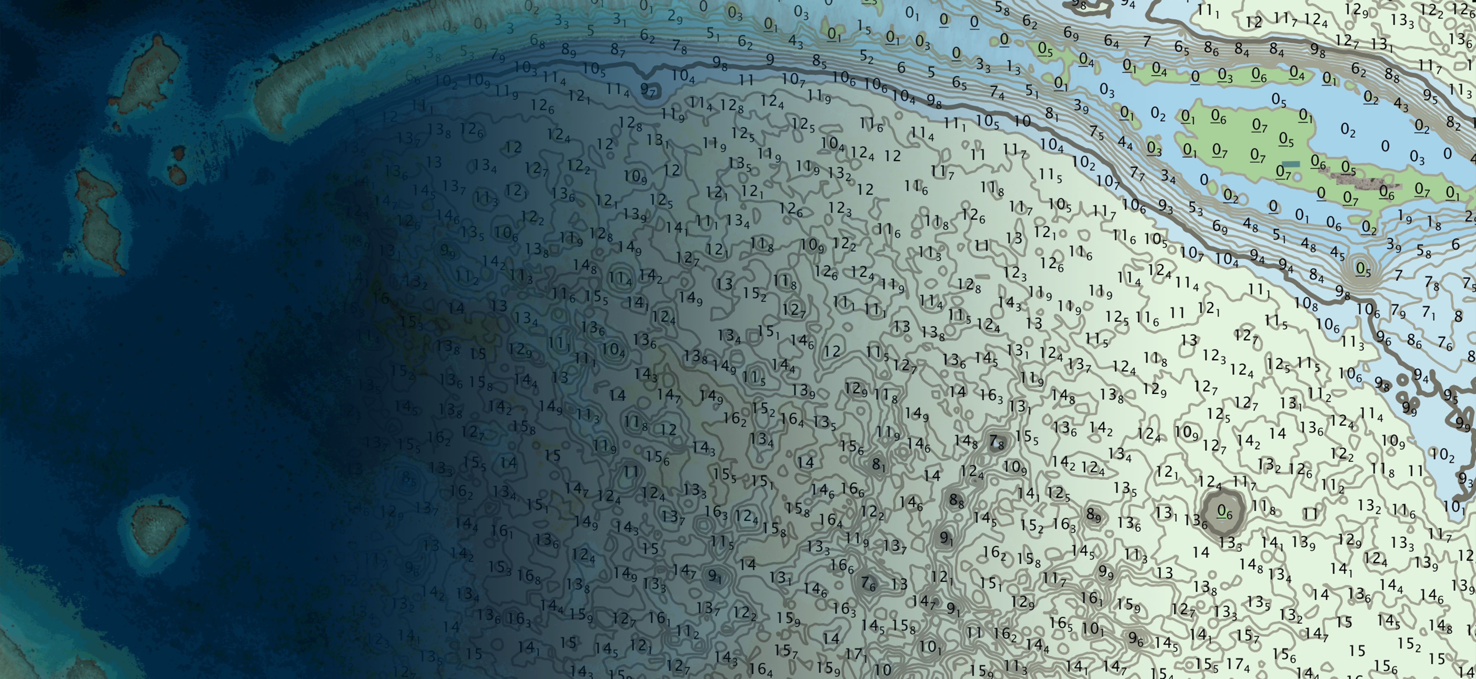
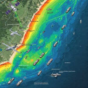
For too long, discussions about hydrographic surveying methods have centered on comparing and contrasting individual technologies – multibeam vs. lidar, lidar vs. satellite, satellite vs multibeam. This “either/or” and one vs the other mentality is outdated. Each of these methods, whether using sound, light, or reflectance, is an imperfect tool for measuring a complex environment.

Read more in Hydro International

TCarta Announces Satellite Derived Bathymetry Product to Supplement Official Nautical Charts in Shallow Coastal Zones

February 26th, 2025
TCarta Marine

Shallow coastal zones are where most ship groundings occur, and they are also where the most inaccurate and outdated information on official nautical charts resides. TCarta, a provider of hydrospatial mapping services, has introduced a new line of Satellite Reconnaissance Charts to supplement official marine navigation maps in shallow waters.

Read in LiDAR Magazine

Satellite-Based Solution to Ship Groundings in Coastal Waters

October 3rd, 2024
TCarta Marine

TCarta Satellite Derived Bathymetry (SDB) on the Oman Coast indicates shallow water depths by color – red represents 0-3 meters, yellow is 3-6 meters, green is 6-10 meters, turquoise is 10-14 meters, and blue is 14-18 meters deep. Inset map indicates geographic location of data set.

Read in Business Wire

Interns map 39,000km² of seafloor for Seabed 2030

August 27th, 2024
TCarta Marine

Six students took part in a summer-long paid satellite-derived bathymetry (SDB) internship facilitated by TCarta and hosted at the Marine Institute (MI) of Memorial University in St. John’s, Newfoundland. All participants were either recent graduates or current students in the MI Ocean Mapping programme. The programme’s mobilization was a collaborative effort among TCarta, Memorial University and The Nippon Foundation-GEBCO Seabed 2030 Project, which aims to inspire the complete mapping of the seafloor by 2030.

Read in Hydro International