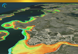
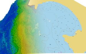
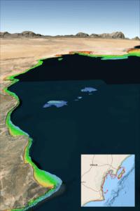
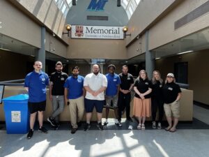
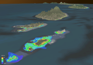
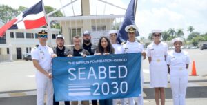
TCarta Marine Change your cover photoUpload Change your cover photoUpload TCarta Marine This user account status is Approved About About Posts Posts Comments Comments Celebrate Hydrography by Uplifting and Enabling the Modern Hydrographer 6 months ago in: Blog no comments OGC Demonstrator Showcases TCarta’s Space-Based Approach to Intertidal Zone Monitoring 8 months ago in: Blog no comments Enhance Bathy Lidar Collection Planning with Space-Based Water Quality Monitoring 8 months ago in: Blog no comments Beyond Either/Or: Integrating Hydrographic Technologies for a Data-Driven Future 9 months ago in: News 2 comments Connecting Remote Communities: Providing Up-to-Date Data with Satellite-Delivered Bathymetry 10 months ago in: Blog no comments TCarta Announces Satellite Derived Bathymetry Product to Supplement Official Nautical Charts in Shallow Coastal Zones 10 months ago in: News no comments Satellite-Based Solution to Ship Groundings in Coastal Waters 1 year ago in: News no comments Interns map 39,000km² of seafloor for Seabed 2030 1 year ago in: News no comments TCarta, Seabed 2030, and Marine Institute Summer Interns Produce 40,000 km² of SDB 1 year ago in: Blog no comments Navy receives support and training in sargassum detection 1 year ago in: News no comments load more posts